|
|
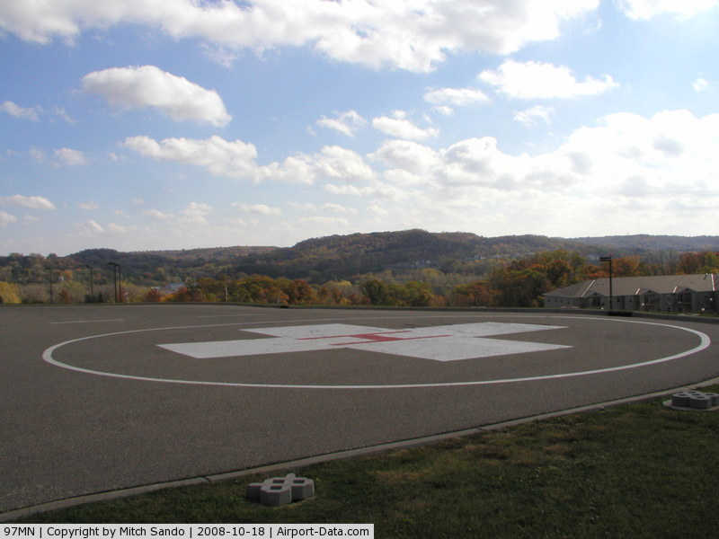
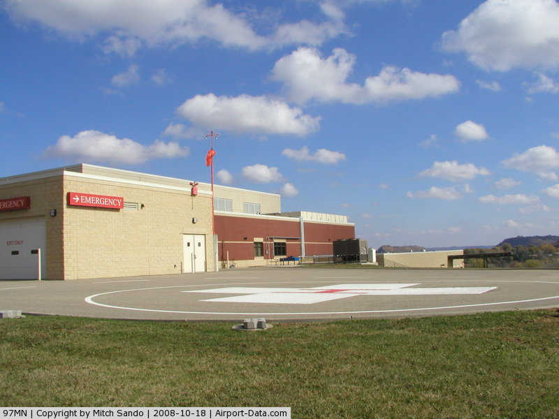
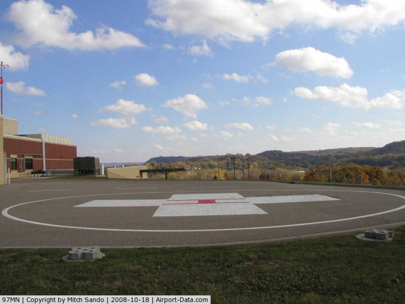
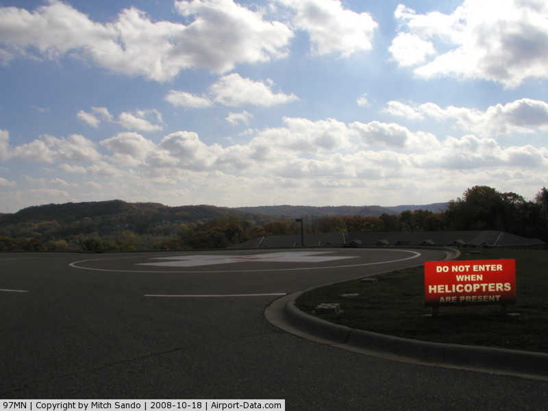
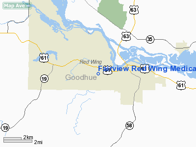
Fairview Red Wing Medical Center Heliport |
|
 |
(Click on the photo to enlarge) |
|
 |
(Click on the photo to enlarge) |
|
 |
(Click on the photo to enlarge) |
|
 |
(Click on the photo to enlarge) |
Location & QuickFacts
| FAA Information Effective: | 2008-09-25 |
| Airport Identifier: | 97MN |
| Airport Status: | Operational |
| Longitude/Latitude: | 092-34-22.5900W/44-33-33.4550N
-92.572942/44.559293 (Estimated) |
| Elevation: | 862 ft / 262.74 m (Estimated) |
| Land: | 0 acres |
| From nearest city: | 3 nautical miles NW of Red Wing, MN |
| Location: | Goodhue County, MN |
| Magnetic Variation: | () |
Owner & Manager
| Ownership: | Privately owned |
| Owner: | Fairview Red Wing Hospital Svcs |
| Address: | 701 Fairview Blvd Box 95
Red Wing, MN 55066 |
| Phone number: | 651-267-5000 |
| Manager: | Glenn Mattson |
| Address: | 701 Fairview Blvd Box 95
Red Wing, MN 55066 |
| Phone number: | 651-267-5080 |
Airport Operations and Facilities
| Airport Use: | Private |
| Wind indicator: | Yes |
| Control Tower: | No |
| Lighting Schedule: | DUSK-DAWN |
| Beacon Color: | Clear-Green-Yellow (heliport) |
| Sectional chart: | Twin Cities |
| Region: | AGL - Great Lakes |
| Boundary ARTCC: | ZMP - Minneapolis |
| Tie-in FSS: | PNM - Princeton |
| FSS Toll Free: | 1-800-WX-BRIEF |
Runway Information
Helipad H1
| Dimension: | 90 x 105 ft / 27.4 x 32.0 m |
| Surface: | ASPH, |
| |
Runway H1 |
Runway |
| Traffic Pattern: | Left | Left |
|
Radio Navigation Aids
| ID |
Type |
Name |
Ch |
Freq |
Var |
Dist |
| PPI | NDB | Hopey | | 400.00 | 03E | 24.6 nm |
| MS | NDB | Narco | | 266.00 | 02E | 27.3 nm |
| RNH | NDB | New Richmond | | 257.00 | 02E | 35.4 nm |
| AHH | NDB | Ameron | | 278.00 | 01E | 44.2 nm |
| OEO | NDB | Osceola | | 233.00 | 01E | 45.4 nm |
| MSP | VOR/DME | Minneapolis | 100X | 115.30 | 02E | 34.8 nm |
| FOW | VOR/DME | Halfway | 049X | 111.20 | 02E | 40.4 nm |
| FCM | VOR/DME | Flying Cloud | 055X | 111.80 | 06E | 41.0 nm |
| RST | VOR/DME | Rochester | 057X | 112.00 | 05E | 46.7 nm |
| ONA | VOR/DME | Winona | 051X | 111.40 | 01E | 47.3 nm |
| FGT | VORTAC | Farmington | 104X | 115.70 | 06E | 26.4 nm |
| GEP | VORTAC | Gopher | 120X | 117.30 | 06E | 49.0 nm |
| STP | VOT | St Paul | | 114.40 | | 30.9 nm |
| MSP | VOT | Minneapolis St Paul | | 111.00 | | 33.7 nm |
Remarks
- ALL HELICOPTERS REMAIN BLO 2200 FT MSL DURING RGK RY 27 IFR OPNS.
- PRVDD ALL APCH/DEP FM 070-245, AND 265-295, AREA IS MKD, ALL HELOS REMAIN BLO 2200 FT MSL WHILE IN RGK RY 27 IFR OPNS.
Images and information placed above are from
http://www.airport-data.com/airport/97MN/
We thank them for the data!
We don't guarantee the information is fresh and accurate. The data may
be wrong or outdated.
For more up-to-date information please refer to other sources.
|
|