|
|
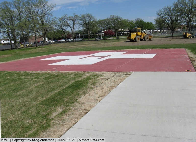
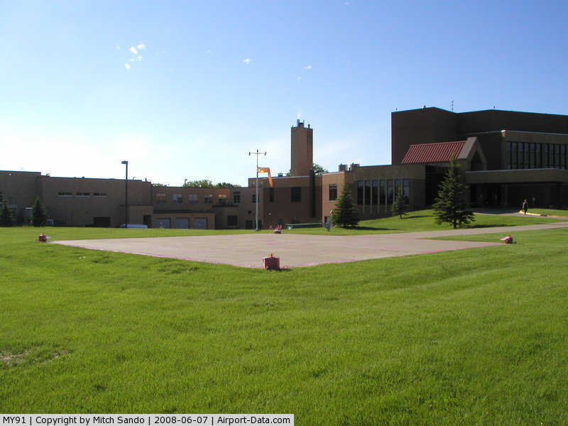
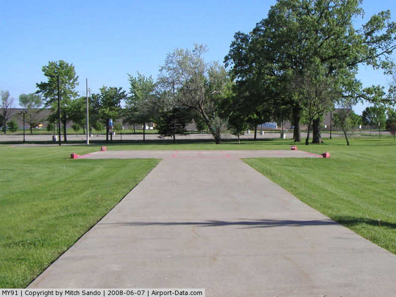
Douglas County Hospital Heliport |
|
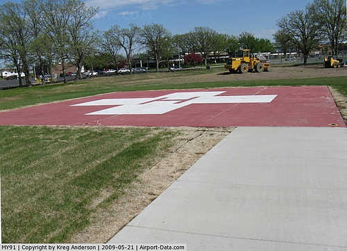 |
(Click on the photo to enlarge) |
|
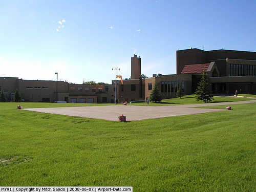 |
(Click on the photo to enlarge) |
|
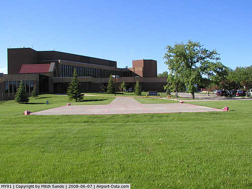 |
(Click on the photo to enlarge) |
|
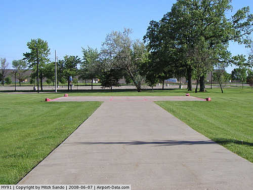 |
(Click on the photo to enlarge) |
Location & QuickFacts
| FAA Information Effective: | 2008-09-25 |
| Airport Identifier: | MY91 |
| Airport Status: | Operational |
| Longitude/Latitude: | 095-22-38.1360W/45-52-24.8620N
-95.377260/45.873573 (Estimated) |
| Elevation: | 1418 ft / 432.21 m (Estimated) |
| Land: | 0 acres |
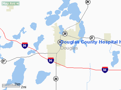
| From nearest city: | 0 nautical miles NE of Alexandria, MN |
| Location: | Douglas County, MN |
| Magnetic Variation: | 06E (1985) |
Owner & Manager
| Ownership: | Privately owned |
| Owner: | Douglas County Hospital |
| Address: | 111 17th Ave East
Alexandria, MN 56308 |
| Phone number: | 612-762-1511 |
| Manager: | William G Flaig
RANDY ANDERSON: 320-762-6096 |
| Address: | 111 17th Ave East
Alexandria, MN 56308 |
Airport Operations and Facilities
| Airport Use: | Private |
| Segmented Circle: | No |
| Control Tower: | No |
| Sectional chart: | Twin Cities |
| Region: | AGL - Great Lakes |
| Boundary ARTCC: | ZMP - Minneapolis |
| Tie-in FSS: | PNM - Princeton |
| FSS Toll Free: | 1-800-WX-BRIEF |
Runway Information
Helipad H1
| Dimension: | 42 x 42 ft / 12.8 x 12.8 m |
| Surface: | CONC, |
| |
Runway H1 |
Runway |
| Traffic Pattern: | Left | Left |
|
Radio Navigation Aids
| ID |
Type |
Name |
Ch |
Freq |
Var |
Dist |
| EE | NDB | Tamie | | 374.00 | 04E | 5.8 nm |
| GHW | NDB | Glenwood | | 346.00 | 03E | 14.0 nm |
| BBB | NDB | Benson | | 239.00 | 05E | 34.8 nm |
| SAZ | NDB | Staples | | 257.00 | 04E | 38.8 nm |
| LXL | NDB | Little Falls | | 359.00 | 03E | 43.6 nm |
| XCR | NDB | Ripley | | 404.00 | 03E | 44.9 nm |
| AQP | NDB | Appleton | | 356.00 | 05E | 47.0 nm |
| ETH | NDB | Wheaton | | 326.00 | 05E | 49.3 nm |
| RYM | TACAN | Camp Ripley | 048X | | 03E | 44.7 nm |
| AXN | VOR/DME | Alexandria | 075X | 112.80 | 07E | 7.9 nm |
| MOX | VOR/DME | Morris | 033X | 109.60 | 05E | 31.0 nm |
| FFM | VOR/DME | Fergus Falls | 041X | 110.40 | 05E | 41.0 nm |
| BDH | VOR/DME | Willmar | 84X | 113.70 | 04E | 46.6 nm |
| ILL | VOR/DME | Willmar | 084X | 113.70 | 04E | 47.0 nm |
Remarks
- PROVIDED APP/DEP ARE CONDUCTED FROM 70 TO 100 & FROM 250 TO 280; AREA IS MARKED; WIND INDICATOR IS MAINTAINED
Images and information placed above are from
http://www.airport-data.com/airport/MY91/
We thank them for the data!
| General Info
|
| Country |
United States
|
| State |
MINNESOTA
|
| FAA ID |
MY91
|
| Latitude |
45-52-24.862N
|
| Longitude |
095-22-38.136W
|
| Elevation |
1418 feet
|
| Near City |
ALEXANDRIA
|
We don't guarantee the information is fresh and accurate. The data may
be wrong or outdated.
For more up-to-date information please refer to other sources.
|
|