|
|
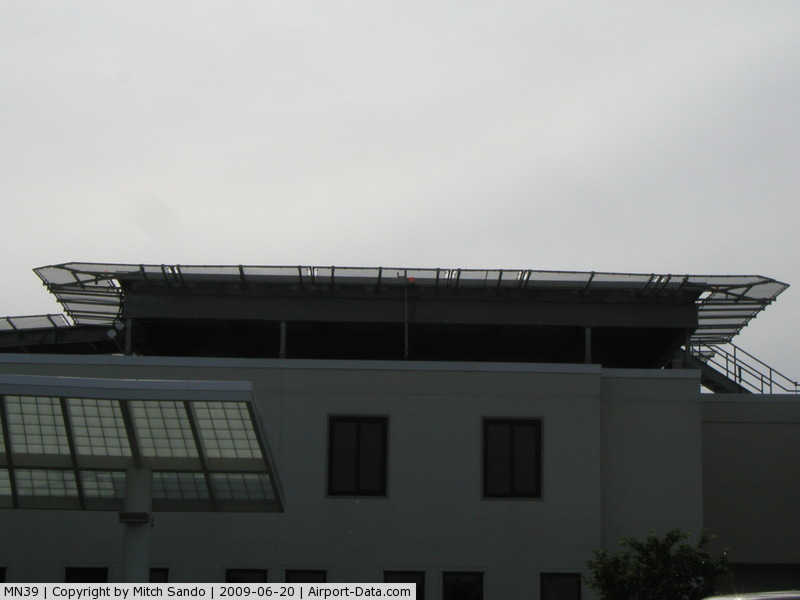
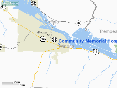
Community Memorial Hospital Heliport |
|
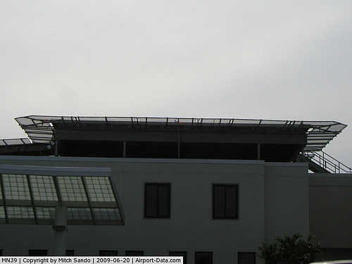 |
(Click on the photo to enlarge) |
Location & QuickFacts
| FAA Information Effective: | 2008-09-25 |
| Airport Identifier: | MN39 |
| Airport Status: | Operational |
| Longitude/Latitude: | 091-37-23.5310W/44-01-56.8660N
-91.623203/44.032463 (Estimated) |
| Elevation: | 666 ft / 203.00 m (Estimated) |
| Land: | 18 acres |
| From nearest city: | 0 nautical miles E of Winona, MN |
| Location: | Winona County, MN |
| Magnetic Variation: | 02E (1985) |
Owner & Manager
| Ownership: | Privately owned |
| Owner: | Winona General Hospital Assoc |
| Address: | 855 Mankato Ave
Winona, MN 55987 |
| Phone number: | 507-454-3650 |
| Manager: | Brad H. Benke |
| Address: | Community Memorial Hospital, 855 Mankato Ave
Winona, MN 55987 |
| Phone number: | 507-454-3650 |
Airport Operations and Facilities
| Airport Use: | Private
MEDICAL USE. |
| Wind indicator: | Yes |
| Segmented Circle: | No |
| Control Tower: | No |
| Lighting Schedule: | DUSK-DAWN |
| Beacon Color: | Clear-Green-Yellow (heliport) |
| Sectional chart: | Green Bay |
| Region: | AGL - Great Lakes |
| Boundary ARTCC: | ZMP - Minneapolis |
| Tie-in FSS: | PNM - Princeton |
| FSS on Airport: | No |
| FSS Toll Free: | 1-800-WX-BRIEF |
Runway Information
Helipad H1
| Dimension: | 150 x 150 ft / 45.7 x 45.7 m |
| Surface: | ASPH, Good Condition |
| |
Runway H1 |
Runway |
| Traffic Pattern: | Left | Left |
|
Radio Navigation Aids
| ID |
Type |
Name |
Ch |
Freq |
Var |
Dist |
| CHU | NDB | Caledonia | | 209.00 | 03E | 27.4 nm |
| BCK | NDB | Black River Falls | | 362.00 | 00E | 36.0 nm |
| CMY | NDB | Mccoy | | 412.00 | 00E | 42.8 nm |
| CJJ | NDB | Cresco | | 293.00 | 02E | 45.7 nm |
| DEH | NDB | Decorah | | 236.00 | 01E | 45.8 nm |
| ONA | VOR/DME | Winona | 051X | 111.40 | 01E | 4.4 nm |
| LSE | VOR/DME | La Crosse | 021X | 108.40 | 02E | 18.5 nm |
| RST | VOR/DME | Rochester | 057X | 112.00 | 05E | 44.8 nm |
| ODI | VORTAC | Nodine | 126X | 117.90 | 01E | 9.9 nm |
| UKN | VORTAC | Waukon | 113X | 116.60 | 05E | 45.4 nm |
Remarks
- PROVIDED ALL APCH/DEP ROUTES 160-180 DEGS; TKOF/LNDG AREA APPROPRIATELY MKD; NON-OBSTRUCTING WIND INDICATOR MAINTAINED.
Images and information placed above are from
http://www.airport-data.com/airport/MN39/
We thank them for the data!
| General Info
|
| Country |
United States
|
| State |
MINNESOTA
|
| FAA ID |
MN39
|
| Latitude |
44-01-56.866N
|
| Longitude |
091-37-23.531W
|
| Elevation |
666 feet
|
| Near City |
WINONA
|
We don't guarantee the information is fresh and accurate. The data may
be wrong or outdated.
For more up-to-date information please refer to other sources.
|
|