 |
|
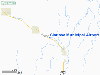
Clarissa Municipal Airport |
Location & QuickFacts
| FAA Information Effective: | 2008-09-25 |
| Airport Identifier: | 8Y5 |
| Airport Status: | Operational |
| Longitude/Latitude: | 094-54-24.0830W/46-06-46.8700N
-94.906690/46.113019 (Estimated) |
| Elevation: | 1308 ft / 398.68 m (Estimated) |
| Land: | 32 acres |
| From nearest city: | 2 nautical miles SE of Clarissa, MN |
| Location: | Todd County, MN |
| Magnetic Variation: | 04E (1985) |
Owner & Manager
| Ownership: | Publicly owned |
| Owner: | City Of Clarissa |
| Address: | City Hall, P.o. Box 396
Clarissa, MN 56440 |
| Phone number: | 218-756-2125 |
| Manager: | Kenneth Helgeson |
| Address: | P.o. Box 191
Clarissa, MN 56440 |
| Phone number: | 218-756-3592 |
Airport Operations and Facilities
| Airport Use: | Open to public |
| Wind indicator: | Yes |
| Segmented Circle: | No |
| Control Tower: | No |
| Lighting Schedule: | NONE |
| Landing fee charge: | No |
| Sectional chart: | Twin Cities |
| Region: | AGL - Great Lakes |
| Boundary ARTCC: | ZMP - Minneapolis |
| Tie-in FSS: | PNM - Princeton |
| FSS on Airport: | No |
| FSS Toll Free: | 1-800-WX-BRIEF |
| NOTAMs Facility: | PNM (NOTAM-d service avaliable) |
Airport Communications
Airport Services
Runway Information
Runway 10/28
| Dimension: | 2600 x 200 ft / 792.5 x 61.0 m |
| Surface: | TURF, Good Condition |
| |
Runway 10 |
Runway 28 |
| Longitude: | 094-54-42.0300W | 094-54-06.1300W |
| Latitude: | 46-06-49.8600N | 46-06-43.8600N |
| Elevation: | 1307.00 ft | 1307.00 ft |
| Traffic Pattern: | Left | Left |
| Runway End Identifier: | No | No |
| Centerline Lights: | No | No |
| Touchdown Lights: | No | No |
| Obstruction: | 20 ft trees, 80.0 ft from runway, 125 ft left of centerline, 4:1 slope to clear | 25 ft trees, 250.0 ft from runway, 125 ft right of centerline, 10:1 slope to clear |
|
Radio Navigation Aids
| ID |
Type |
Name |
Ch |
Freq |
Var |
Dist |
| SAZ | NDB | Staples | | 257.00 | 04E | 16.7 nm |
| XCR | NDB | Ripley | | 404.00 | 03E | 23.6 nm |
| EE | NDB | Tamie | | 374.00 | 04E | 25.5 nm |
| LXL | NDB | Little Falls | | 359.00 | 03E | 25.5 nm |
| GHW | NDB | Glenwood | | 346.00 | 03E | 33.0 nm |
| PWC | NDB | Pine River | | 330.00 | 03E | 42.8 nm |
| PK | NDB | Spida | | 269.00 | 04E | 43.4 nm |
| RYM | TACAN | Camp Ripley | 048X | | 03E | 23.0 nm |
| AXN | VOR/DME | Alexandria | 075X | 112.80 | 07E | 16.5 nm |
| PKD | VOR/DME | Park Rapids | 043X | 110.60 | 04E | 47.7 nm |
| STC | VOR/DME | St Cloud | 058X | 112.10 | 03E | 49.1 nm |
| BRD | VORTAC | Brainerd | 116X | 116.90 | 03E | 39.3 nm |
Images and information placed above are from
http://www.airport-data.com/airport/8Y5/
We thank them for the data!
| General Info
|
| Country |
United States
|
| State |
MINNESOTA
|
| FAA ID |
8Y5
|
| Latitude |
46-06-46.870N
|
| Longitude |
094-54-24.083W
|
| Elevation |
1308 feet
|
| Near City |
CLARISSA
|
We don't guarantee the information is fresh and accurate. The data may
be wrong or outdated.
For more up-to-date information please refer to other sources.
|
|


