|
|
Alexandria Municipal Airport
Chandler Field |
| IATA: AXN – ICAO: KAXN – FAA LID: AXN |
| Summary |
| Airport type |
Public |
| Owner |
City of Alexandria |
| Serves |
Alexandria, Minnesota |
| Elevation AMSL |
1,425 ft / 434 m |
| Coordinates |
45°51′59″N 095°23′41″W / 45.86639°N 95.39472°W / 45.86639; -95.39472 |
| Runways |
| Direction |
Length |
Surface |
| ft |
m |
| 13/31 |
5,100 |
1,554 |
Asphalt |
| 4/22 |
4,099 |
1,249 |
Asphalt |
| Statistics (2005) |
| Aircraft operations |
25,500 |
| Based aircraft |
57 |
| Source: Minnesota DOT, FAA |
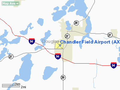
Alexandria Municipal Airport (IATA: AXN, ICAO: KAXN, FAA LID: AXN), also known as Chandler Field, is a city-owned public-use airport located two nautical miles (3.7 km) southwest of the central business district of Alexandria, a city in Douglas County, Minnesota, United States. Facilities and aircraft
The airport covers an area of 640 acres (259 ha) at an elevation of 1,425 feet (434 m) above mean sea level. It has two asphalt paved runways: 13/31 is 5,100 by 100 feet (1,554 x 30 m) and 4/22 is 4,099 by 75 feet (1,249 x 23 m).
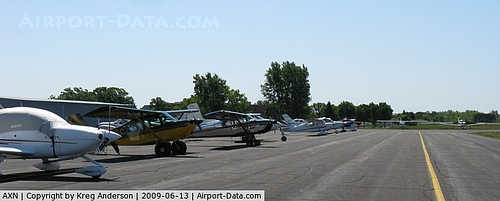
For the 12-month period ending August 31, 2005, the airport had 25,500 aircraft operations, an average of 69 per day: 90% general aviation, 9% air taxi and 1% military. At that time there were 57 aircraft based at this airport: 88% single-engine, 10% multi-engine and 2% helicopter.
Cargo
- Bemidji Airlines (Minneapolis/St. Paul)
Airport Operations
Several operations and/or businesses at the airport include the following:
- Alexandria Aviation - Aircraft Sales, Rental, Flight Training, Chater, Fueling
- Weber's Aero Repair - Aircraft repairs and restorations
- LifeLink III - 24/7 medical helicopter service
The above content comes from Wikipedia and is published under free licenses – click here to read more.
|
 |
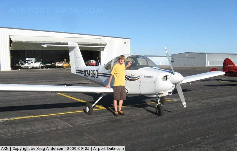
(Click on the photo to enlarge) |
|
 |
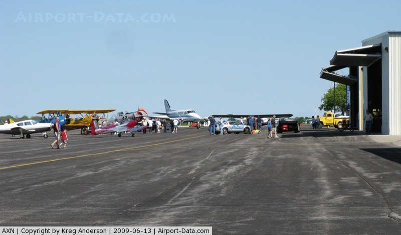
(Click on the photo to enlarge) |
|
 |
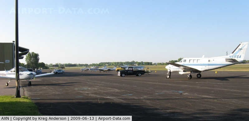
(Click on the photo to enlarge) |
|
 |
(Click on the photo to enlarge) |
Location & QuickFacts
| FAA Information Effective: | 2008-09-25 |
| Airport Identifier: | AXN |
| Airport Status: | Operational |
| Longitude/Latitude: | 095-23-40.8000W/45-51-58.7000N
-95.394667/45.866306 (Estimated) |
| Elevation: | 1425 ft / 434.34 m (Surveyed) |
| Land: | 640 acres |
| From nearest city: | 2 nautical miles SW of Alexandria, MN |
| Location: | Douglas County, MN |
| Magnetic Variation: | 05E (1985) |
Owner & Manager
| Ownership: | Publicly owned |
| Owner: | City Of Alexandria |
| Address: | 704 Broadway
Alexandria, MN 56308 |
| Phone number: | 320-763-6678 |
| Manager: | Albert W Bennewitz |
| Address: | 2604 Aga Drive
Alexandria, MN 56308 |
| Phone number: | 320-762-2111 |
Airport Operations and Facilities
| Airport Use: | Open to public |
| Wind indicator: | Yes |
| Segmented Circle: | Yes |
| Control Tower: | No |
| Lighting Schedule: | DUSK-DAWN
MIRL RY 13/31 PRESET ON LOW INTST; TO ACTVT HIGHER INTST AND MIRL RY 04/22 AND PAPI RYS 04 & 22 & 13 & 31 AND REIL RYS 04 & 22 & 13 AND ODALS RY 31 - CTAF. |
| Beacon Color: | Clear-Green (lighted land airport) |
| Landing fee charge: | No |
| Sectional chart: | Twin Cities |
| Region: | AGL - Great Lakes |
| Boundary ARTCC: | ZMP - Minneapolis |
| Tie-in FSS: | PNM - Princeton |
| FSS on Airport: | No |
| FSS Toll Free: | 1-800-WX-BRIEF |
| NOTAMs Facility: | AXN (NOTAM-d service avaliable) |
| Federal Agreements: | NGY3 |
Airport Communications
| CTAF: | 123.000 |
| Unicom: | 123.000 |
Airport Services
| Fuel available: | 100LLA |
| Airframe Repair: | MAJOR |
| Power Plant Repair: | MAJOR |
Runway Information
Runway 04/22
| Dimension: | 4099 x 75 ft / 1249.4 x 22.9 m |
| Surface: | ASPH, Good Condition |
| Weight Limit: | Single wheel: 35000 lbs.
Dual wheel: 60000 lbs. |
| Edge Lights: | Medium |
| |
Runway 04 |
Runway 22 |
| Longitude: | 095-23-58.7981W | 095-23-14.9015W |
| Latitude: | 45-51-45.3344N | 45-52-11.7127N |
| Elevation: | 1425.00 ft | 1418.00 ft |
| Alignment: | 49 | 127 |
| Traffic Pattern: | Left | Left |
| Markings: | Non-precision instrument, Good Condition | Non-precision instrument, Good Condition |
| Crossing Height: | 44.00 ft | 44.00 ft |
| VASI: | 4-light PAPI on left side | 4-light PAPI on left side |
| Visual Glide Angle: | 3.00° | 3.00° |
| Runway End Identifier: | Yes | Yes |
| Obstruction: | 25 ft tree, 1268.0 ft from runway, 300 ft right of centerline, 45:1 slope to clear | , 50:1 slope to clear |
|
Runway 13/31
| Dimension: | 5100 x 100 ft / 1554.5 x 30.5 m |
| Surface: | ASPH, Good Condition |
| Weight Limit: | Single wheel: 35000 lbs.
Dual wheel: 60000 lbs. |
| Edge Lights: | Medium |
| |
Runway 13 |
Runway 31 |
| Longitude: | 095-24-07.4849W | 095-23-20.5024W |
| Latitude: | 45-52-17.8724N | 45-51-39.7072N |
| Elevation: | 1411.00 ft | 1422.00 ft |
| Alignment: | 127 | 127 |
| ILS Type: | | ILS
|
| Traffic Pattern: | Left | Left |
| Markings: | Precision instrument, Good Condition | Precision instrument, Good Condition |
| Crossing Height: | 34.00 ft | 50.00 ft |
| VASI: | 4-light PAPI on left side | 4-light PAPI on left side |
| Visual Glide Angle: | 3.00° | 3.00° |
| Approach lights: | | ODALS |
| Runway End Identifier: | Yes | |
| Obstruction: | 13 ft trees, 266.0 ft from runway, 300 ft right of centerline, 5:1 slope to clear | , 50:1 slope to clear |
|
Radio Navigation Aids
| ID |
Type |
Name |
Ch |
Freq |
Var |
Dist |
| EE | NDB | Tamie | | 374.00 | 04E | 5.8 nm |
| GHW | NDB | Glenwood | | 346.00 | 03E | 13.7 nm |
| BBB | NDB | Benson | | 239.00 | 05E | 34.1 nm |
| SAZ | NDB | Staples | | 257.00 | 04E | 39.6 nm |
| LXL | NDB | Little Falls | | 359.00 | 03E | 44.3 nm |
| XCR | NDB | Ripley | | 404.00 | 03E | 45.7 nm |
| AQP | NDB | Appleton | | 356.00 | 05E | 46.3 nm |
| ETH | NDB | Wheaton | | 326.00 | 05E | 48.5 nm |
| RYM | TACAN | Camp Ripley | 048X | | 03E | 45.5 nm |
| AXN | VOR/DME | Alexandria | 075X | 112.80 | 07E | 8.7 nm |
| MOX | VOR/DME | Morris | 033X | 109.60 | 05E | 30.1 nm |
| FFM | VOR/DME | Fergus Falls | 041X | 110.40 | 05E | 40.7 nm |
| BDH | VOR/DME | Willmar | 84X | 113.70 | 04E | 46.4 nm |
| ILL | VOR/DME | Willmar | 084X | 113.70 | 04E | 46.8 nm |
Remarks
- WATERFOWL & JACKRABBITS ON & INVOF RY.
- ULTRALIGHT TRAFFIC ON & INVOF ARPT.
Images and information placed above are from
http://www.airport-data.com/airport/AXN/
We thank them for the data!
| General Info
|
| Country |
United States
|
| State |
MINNESOTA
|
| ICAO ID |
KAXN
|
| FAA ID |
AXN
|
| Time |
UTC-6(-5DT)
|
| Latitude |
45.866297
45° 51' 58.67" N
|
| Longitude |
-95.394669
095° 23' 40.81" W
|
| Elevation |
1425 feet
434 meters
|
| Type |
Civil
|
| Magnetic Variation |
003° E (01/06)
|
| Beacon |
Yes
|
| Operating Agency |
U.S.CIVIL AIRPORT WHEREIN PERMIT COVERS USE BY TRANSIT MILITARY AIRCRAFT
|
| Near City |
Alexandria
|
| Operating Hours |
SEE REMARKS FOR OPERATING HOURS OR COMMUNICATIONS FOR POSSIBLE HOURS
|
| Daylight Saving Time |
Second Sunday in March at 0200 to first Sunday in November at 0200 local time (Exception Arizona and that portion of Indiana in the Eastern Time Zone)
|
We don't guarantee the information is fresh and accurate. The data may
be wrong or outdated.
For more up-to-date information please refer to other sources.
|
|