|
|
|
 |
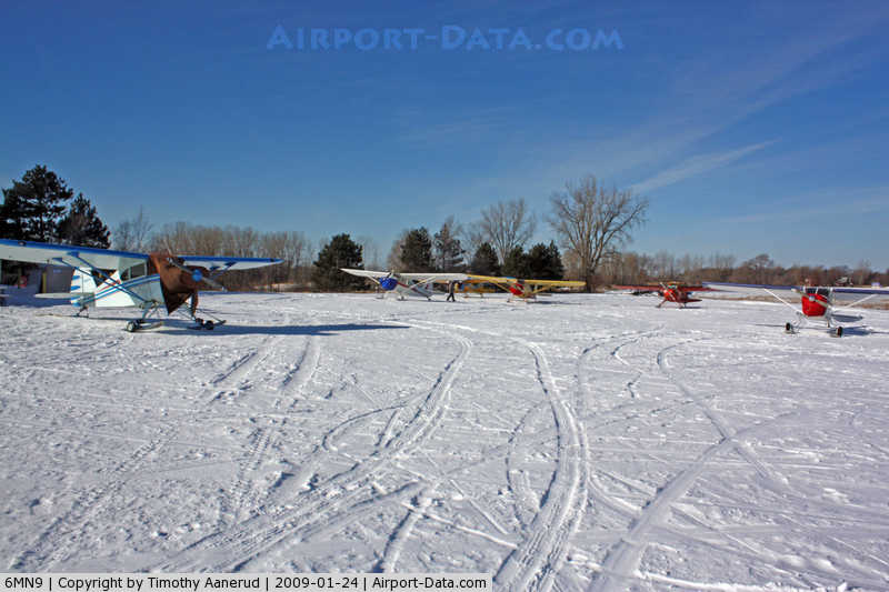
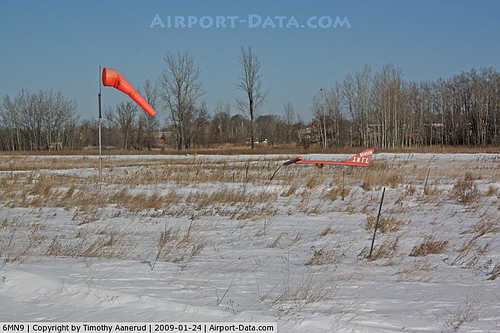
(Click on the photo to enlarge) |
|
 |
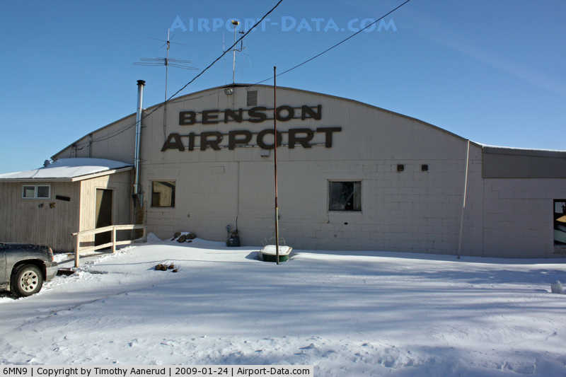
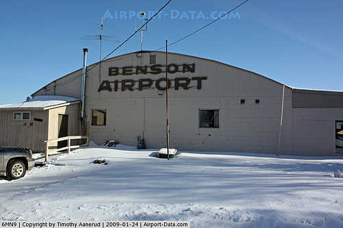
(Click on the photo to enlarge) |
|
 |
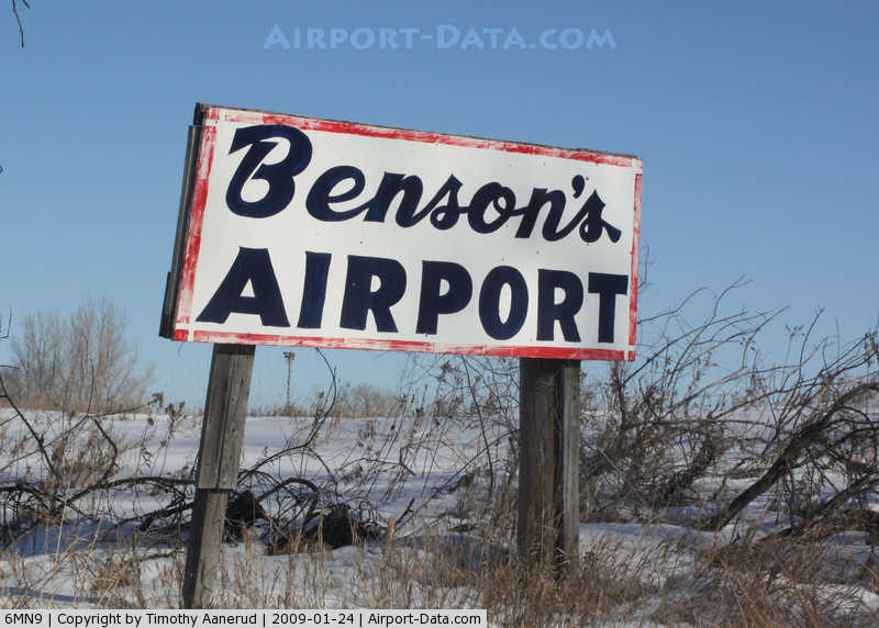
(Click on the photo to enlarge) |
|
 |
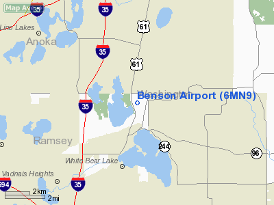
(Click on the photo to enlarge) |
Location & QuickFacts
| FAA Information Effective: | 2008-09-25 |
| Airport Identifier: | 6MN9 |
| Airport Status: | Operational |
| Longitude/Latitude: | 092-59-45.7820W/45-06-59.8800N
-92.996051/45.116633 (Estimated) |
| Elevation: | 942 ft / 287.12 m (Estimated) |
| Land: | 60 acres |
| From nearest city: | 3 nautical miles N of White Bear Township, MN |
| Location: | Ramsey County, MN |
| Magnetic Variation: | 03E (1985) |
Owner & Manager
| Ownership: | Privately owned |
| Owner: | White Bear Township |
| Address: | 1281 Hammond Rd
White Bear Township, MN 55110 |
| Phone number: | 612-429-5827 |
| Manager: | William F. Short |
| Address: | 1281 Hammond Rd
White Bear Township, MN 55110 |
| Phone number: | 612-429-5827 |
Airport Operations and Facilities
| Airport Use: | Private |
| Wind indicator: | Yes |
| Segmented Circle: | No |
| Control Tower: | No |
| Lighting Schedule: | PHONE REQ
FOR LIRL RWY 12/30 CALL 651-429-0315. |
| Beacon Color: | Clear-Green (lighted land airport) |
| Landing fee charge: | No |
| Sectional chart: | Twin Cities |
| Region: | AGL - Great Lakes |
| Traffic Pattern Alt: | 800 ft |
| Boundary ARTCC: | ZMP - Minneapolis |
| Tie-in FSS: | PNM - Princeton |
| FSS on Airport: | No |
| FSS Toll Free: | 1-800-WX-BRIEF |
Airport Communications
Airport Services
| Fuel available: | 100LL |
| Airframe Repair: | MAJOR |
| Bottled Oxygen: | NONE |
| Bulk Oxygen: | NONE |
Runway Information
Runway 12/30
| Dimension: | 2000 x 75 ft / 609.6 x 22.9 m |
| Surface: | TURF, |
| Edge Lights: | Low
NSTD LIRL. LGTS ON SW SIDE OF RWY. NO LGTS ON NE SIDE OF RWY FOR GLIDER PULLOFF. THR LGTS ON RWY 12 & 30. THR LGTS ON FOUR CORNERS OF RWY. |
| |
Runway 12 |
Runway 30 |
| Traffic Pattern: | Left | Left |
|
Radio Navigation Aids
| ID |
Type |
Name |
Ch |
Freq |
Var |
Dist |
| PPI | NDB | Hopey | | 400.00 | 03E | 14.8 nm |
| OEO | NDB | Osceola | | 233.00 | 01E | 17.5 nm |
| MS | NDB | Narco | | 266.00 | 02E | 17.9 nm |
| RNH | NDB | New Richmond | | 257.00 | 02E | 19.7 nm |
| AHH | NDB | Ameron | | 278.00 | 01E | 28.3 nm |
| CBG | NDB | Cambridge | | 350.00 | 03E | 28.8 nm |
| ROS | NDB | Rush City | | 282.00 | 02E | 34.9 nm |
| PNM | NDB | Princeton | | 368.00 | 03E | 37.3 nm |
| JMR | NDB | Mora | | 327.00 | 03E | 47.9 nm |
| UBE | NDB | Cumberland | | 375.00 | 01E | 49.1 nm |
| BXR | NDB | Big Doctor | | 203.00 | 02E | 50.0 nm |
| MSP | VOR/DME | Minneapolis | 100X | 115.30 | 02E | 16.7 nm |
| FCM | VOR/DME | Flying Cloud | 055X | 111.80 | 06E | 26.3 nm |
| RZN | VOR/DME | Siren | 031X | 109.40 | 02E | 49.8 nm |
| GEP | VORTAC | Gopher | 120X | 117.30 | 06E | 16.1 nm |
| FGT | VORTAC | Farmington | 104X | 115.70 | 06E | 30.3 nm |
| STP | VOT | St Paul | | 114.40 | | 10.9 nm |
| MSP | VOT | Minneapolis St Paul | | 111.00 | | 16.8 nm |
Images and information placed above are from
http://www.airport-data.com/airport/6MN9/
We thank them for the data!
| General Info
|
| Country |
United States
|
| State |
MINNESOTA
|
| FAA ID |
6MN9
|
| Latitude |
45-06-59.880N
|
| Longitude |
092-59-45.782W
|
| Elevation |
942 feet
|
| Near City |
WHITE BEAR TOWNSHIP
|
We don't guarantee the information is fresh and accurate. The data may
be wrong or outdated.
For more up-to-date information please refer to other sources.
|
|