|
|
| Austin Municipal Airport |
| IATA: AUM – ICAO: KAUM – FAA LID: AUM |
| Summary |
| Airport type |
Public |
| Owner |
City of Austin |
| Serves |
Austin, MN |
| Location |
Austin, MN |
| Elevation AMSL |
1234 ft / 376.1 m |
| Coordinates |
43°39′45″N 092°55′58″W / 43.6625°N 92.93278°W / 43.6625; -92.93278Coordinates: 43°39′45″N 092°55′58″W / 43.6625°N 92.93278°W / 43.6625; -92.93278 |
| Website |
www.ci.austin.mn.us |
| Runways |
| Direction |
Length |
Surface |
| ft |
m |
| 17/35 |
5,800 |
1768 |
Concrete |
| Statistics (April 30, 2007 - April 30, 2008) |
| Aircraft operations |
25,420 |
| Based aircraft |
25 |
| Source: Federal Aviation Administration |
Austin Municipal Airport (ICAO: KAUM, FAA LID: AUM)is a public airport located in Austin, a city in Mower County, Minnesota, United States which is in south central Minnesota. It is owned by the City of Austin.
The above content comes from Wikipedia and is published under free licenses – click here to read more.

|
 |
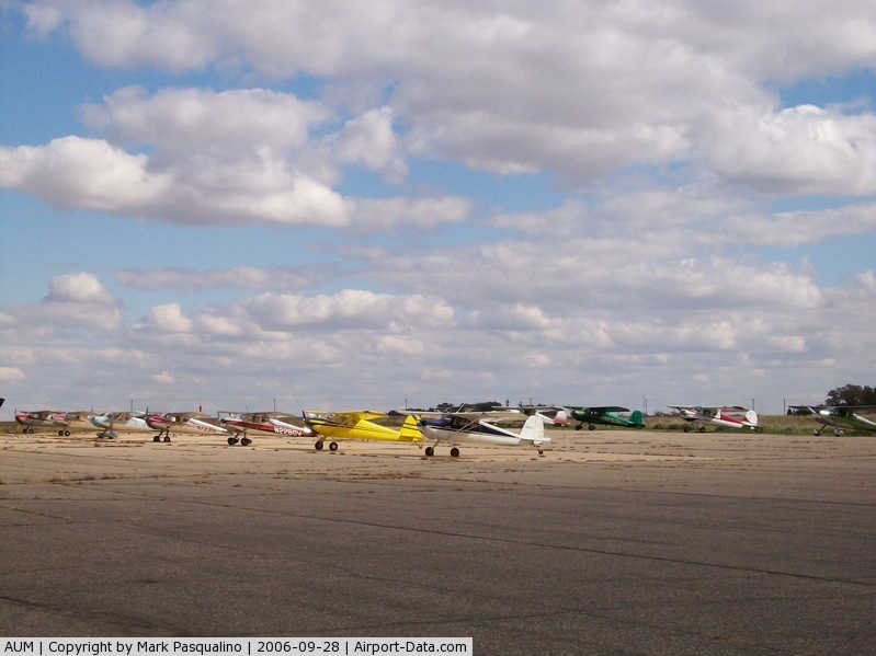
(Click on the photo to enlarge) |
|
 |
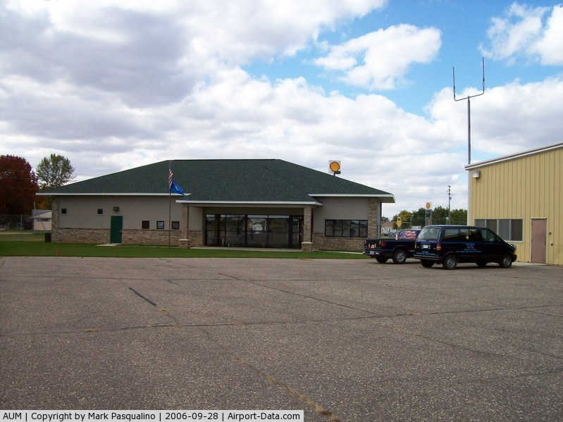
(Click on the photo to enlarge) |
|
 |
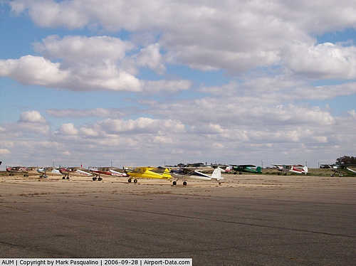
(Click on the photo to enlarge) |
Location & QuickFacts
| FAA Information Effective: | 2008-09-25 |
| Airport Identifier: | AUM |
| Airport Status: | Operational |
| Longitude/Latitude: | 092-55-58.5000W/43-39-45.5000N
-92.932917/43.662639 (Estimated) |
| Elevation: | 1234 ft / 376.12 m (Surveyed) |
| Land: | 278 acres |
| From nearest city: | 2 nautical miles E of Austin, MN |
| Location: | Mower County, MN |
| Magnetic Variation: | 03E (1990) |
Owner & Manager
| Ownership: | Publicly owned |
| Owner: | City Of Austin |
| Address: | 500 Ne 4th Av
Austin, MN 55912 |
| Phone number: | 507-437-7674 |
| Manager: | Bruce W. Budahn |
| Address: | 710 Ne 21st St
Austin, MN 55912 |
| Phone number: | 507-433-1813 |
Airport Operations and Facilities
| Airport Use: | Open to public |
| Wind indicator: | Yes |
| Segmented Circle: | No |
| Control Tower: | No |
| Lighting Schedule: | DUSK-DAWN
HIRL RY 17/35 PRESET LOW INTST; TO INCR INTST & ACTVT REIL RY 17, MALSR RY 35 & PAPI RYS 17 & 35 - CTAF. |
| Beacon Color: | Clear-Green (lighted land airport) |
| Landing fee charge: | No |
| Sectional chart: | Chicago |
| Region: | AGL - Great Lakes |
| Boundary ARTCC: | ZMP - Minneapolis |
| Tie-in FSS: | PNM - Princeton |
| FSS on Airport: | No |
| FSS Toll Free: | 1-800-WX-BRIEF |
| NOTAMs Facility: | AUM (NOTAM-d service avaliable) |
| Federal Agreements: | NGY |
Airport Communications
| CTAF: | 122.700 |
| Unicom: | 122.700 |
Airport Services
| Fuel available: | 100LLA |
| Airframe Repair: | MAJOR |
| Power Plant Repair: | MAJOR |
| Bottled Oxygen: | NONE |
| Bulk Oxygen: | NONE |
Runway Information
Runway 17/35
| Dimension: | 5800 x 100 ft / 1767.8 x 30.5 m |
| Surface: | CONC, Good Condition |
| Weight Limit: | Single wheel: 14000 lbs.
Dual wheel: 19000 lbs. |
| Edge Lights: | High |
| |
Runway 17 |
Runway 35 |
| Longitude: | 092-56-03.9450W | 092-55-53.1470W |
| Latitude: | 43-40-13.8500N | 43-39-17.1100N |
| Elevation: | 1231.00 ft | 1231.00 ft |
| Alignment: | 127 | 127 |
| ILS Type: | | LOC/GS |
| Traffic Pattern: | Left | Left |
| Markings: | Non-precision instrument, Good Condition | Non-precision instrument, Fair Condition |
| Crossing Height: | 41.00 ft | 42.00 ft |
| VASI: | 4-light PAPI on left side | 4-light PAPI on left side |
| Visual Glide Angle: | 3.00° | 3.00° |
| Approach lights: | | MALSR |
| Runway End Identifier: | Yes | |
| Obstruction: | 75 ft trees, 1700.0 ft from runway, 550 ft right of centerline, 20:1 slope to clear | 60 ft pline, 2200.0 ft from runway, 33:1 slope to clear |
|
Radio Navigation Aids
| ID |
Type |
Name |
Ch |
Freq |
Var |
Dist |
| IY | NDB | Chukk | | 417.00 | 03E | 33.0 nm |
| ACQ | NDB | Waseca | | 371.00 | 02E | 36.3 nm |
| CCY | NDB | Charles City | | 375.00 | 03E | 38.4 nm |
| CJJ | NDB | Cresco | | 293.00 | 02E | 39.2 nm |
| FXY | NDB | Forest City | | 359.00 | 05E | 39.5 nm |
| JAY | VOR/DME | Austin | 019X | 108.20 | 03E | 5.2 nm |
| RST | VOR/DME | Rochester | 057X | 112.00 | 05E | 16.3 nm |
| AEL | VOR/DME | Albert Lea | 035X | 109.80 | 05E | 19.1 nm |
| FOW | VOR/DME | Halfway | 049X | 111.20 | 02E | 37.7 nm |
| MCW | VORTAC | Mason City | 096X | 114.90 | 06E | 38.3 nm |
Remarks
- MIGRATORY WATERFOWL & DEER INVOF ARPT.
Images and information placed above are from
http://www.airport-data.com/airport/AUM/
We thank them for the data!
| General Info
|
| Country |
United States
|
| State |
MINNESOTA
|
| FAA ID |
AUM
|
| Latitude |
43-39-53.967N
|
| Longitude |
092-56-00.186W
|
| Elevation |
1233 feet
|
| Near City |
AUSTIN
|
We don't guarantee the information is fresh and accurate. The data may
be wrong or outdated.
For more up-to-date information please refer to other sources.
|
|