|
|
Anoka County - Blaine Arpt(Janes Field) Airport |
Anoka County-Blaine Airport
Janes Field |
| IATA: none – ICAO: KANE – FAA LID: ANE |
| Summary |
| Airport type |
Public |
| Owner |
Metropolitan Airports Commission |
| Serves |
Minneapolis, Minnesota |
| Location |
Blaine, Minnesota |
| Elevation AMSL |
912 ft / 278 m |
| Coordinates |
45°08′42″N 093°12′37″W / 45.145°N 93.21028°W / 45.145; -93.21028 |
| Runways |
| Direction |
Length |
Surface |
| ft |
m |
| 9/27 |
5,000 |
1,524 |
Asphalt |
| 18/36 |
4,855 |
1,480 |
Asphalt |
| Statistics (2006) |
| Aircraft operations |
195,650 |
| Based aircraft |
460 |
| Source: Federal Aviation Administration |
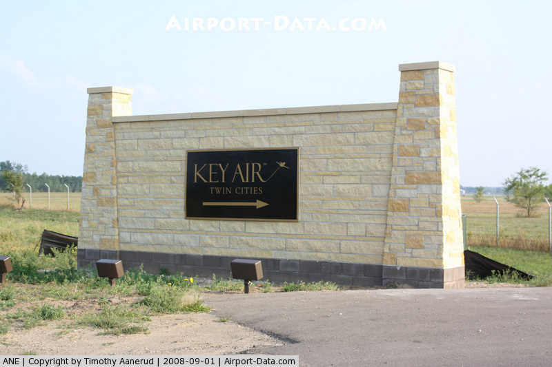
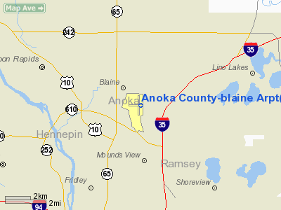
Anoka County-Blaine Airport (ICAO: KANE, FAA LID: ANE), also known as Janes Field, is a public airport located in the city of Blaine in Anoka County, Minnesota, about 10 miles (16 km) north of the central business district of Minneapolis. It is owned by the Metropolitan Airports Commission.
Although most U.S. airports use the same three-letter location identifier for the FAA and IATA, Anoka County-Blaine Airport is assigned ANE by the FAA but has no designation from the IATA.
Facilities and aircraft
Anoka County-Blaine Airport covers an area of 1,900 acres (769 ha) which contains two asphalt paved runways: 9/27 measuring 5,000 x 100 ft (1,524 x 30 m) and 18/36 measuring 4,855 x 100 ft (1,480 x 30 m).
The non-federal control tower is open 0700-2100 local time in winter months (from October to April) and 0700-2200 local time in summer months (from May to September).
For the 12-month period ending July 31, 2006, the airport had 195,650 aircraft operations, an average of 536 per day: 99% general aviation, 1% air taxi and <1% military. There are 460 aircraft based at this airport: 87% single-engine, 9% multi-engine, 3% jet and 1% helicopter.
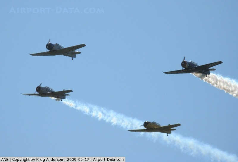
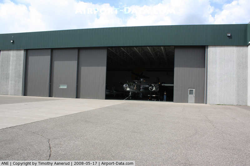
The airport is home to two aviation museums, the Golden Wings Museum, and the American Wings Air Museum.
The above content comes from Wikipedia and is published under free licenses – click here to read more.
|
 |
(Click on the photo to enlarge) |
|
 |
(Click on the photo to enlarge) |
|
 |
(Click on the photo to enlarge) |
|
 |
(Click on the photo to enlarge) |
Location & QuickFacts
| FAA Information Effective: | 2008-09-25 |
| Airport Identifier: | ANE |
| Airport Status: | Operational |
| Longitude/Latitude: | 093-12-36.7000W/45-08-41.6000N
-93.210194/45.144889 (Estimated) |
| Elevation: | 912 ft / 277.98 m (Surveyed) |
| Land: | 1900 acres |
| From nearest city: | 10 nautical miles N of Minneapolis, MN |
| Location: | Anoka County, MN |
| Magnetic Variation: | 02E (2000) |
Owner & Manager
| Ownership: | Publicly owned |
| Owner: | Metropolitan Airport Cmsn |
| Address: | 6040 28th Ave. So.
Minneapolis, MN 55450 |
| Phone number: | 612-726-8100 |
| Manager: | Joseph Harris
MAC MAINT SUPSVR 763-786-9490. |
| Address: | 6040 28th Ave So.
Minneapolis, MN 55450 |
| Phone number: | 763-717-0001 |
Airport Operations and Facilities
| Airport Use: | Open to public |
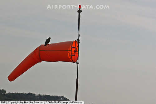
| Wind indicator: | Yes |
| Segmented Circle: | No |
| Control Tower: | Yes |
| Lighting Schedule: | DUSK-DAWN
ACTVT HIRL RY 09/27; MIRL RY 18/36; REIL RYS 09; 18; & 36; VASI RYS 18 & 36; PAPI RYS 9 & 27 & MALSR RY 27 - CTAF. |
| Beacon Color: | Clear-Green (lighted land airport) |
| Landing fee charge: | No |
| Sectional chart: | Twin Cities |
| Region: | AGL - Great Lakes |
| Traffic Pattern Alt: | 1000 ft |
| Boundary ARTCC: | ZMP - Minneapolis |
| Tie-in FSS: | PNM - Princeton |
| FSS on Airport: | No |
| FSS Toll Free: | 1-800-WX-BRIEF |
| NOTAMs Facility: | ANE (NOTAM-d service avaliable) |
| Federal Agreements: | NGY |
Airport Communications
| CTAF: | 126.050 |
| Unicom: | 122.950 |
Airport Services
| Fuel available: | 100LLA |
| Airframe Repair: | MAJOR |
| Power Plant Repair: | MAJOR |
| Bottled Oxygen: | HIGH/LOW |
| Bulk Oxygen: | NONE |
Runway Information
Runway 09/27
| Dimension: | 5000 x 100 ft / 1524.0 x 30.5 m |
| Surface: | ASPH, Good Condition |
| Weight Limit: | Single wheel: 23000 lbs. |
| Edge Lights: | High |
| |
Runway 09 |
Runway 27 |
| Longitude: | 093-13-12.2769W | 093-12-02.5272W |
| Latitude: | 45-08-41.3497N | 45-08-40.7371N |
| Elevation: | 905.00 ft | 909.00 ft |
| Alignment: | 91 | 127 |
| ILS Type: | | ILS/DME
|
| Traffic Pattern: | Left | Left |
| Markings: | Non-precision instrument, Good Condition | Precision instrument, Good Condition |
| Crossing Height: | 25.00 ft | 50.00 ft |
| VASI: | 4-light PAPI on left side | 4-light PAPI on left side |
| Visual Glide Angle: | 3.00° | 3.00° |
| Approach lights: | | MALSR |
| Runway End Identifier: | Yes | No |
| Obstruction: | 20 ft trees, 300.0 ft from runway, 205 ft left of centerline, 5:1 slope to clear | , 50:1 slope to clear |
|
Runway 18/36
| Dimension: | 4855 x 100 ft / 1479.8 x 30.5 m |
| Surface: | ASPH, Good Condition |
| Weight Limit: | Single wheel: 23000 lbs. |
| Edge Lights: | Medium |
| |
Runway 18 |
Runway 36 |
| Longitude: | 093-12-35.5674W | 093-12-36.3684W |
| Latitude: | 45-09-06.0804N | 45-08-18.1460N |
| Elevation: | 912.00 ft | 910.00 ft |
| Alignment: | 127 | 1 |
| Traffic Pattern: | Left | Left |
| Markings: | Non-precision instrument, Good Condition | Non-precision instrument, Good Condition |
| Crossing Height: | 50.00 ft | 50.00 ft |
| VASI: | 4-box on left side | 4-box on left side |
| Visual Glide Angle: | 3.00° | 3.00° |
| Runway End Identifier: | Yes | Yes |
| Obstruction: | 45 ft tree, 1200.0 ft from runway, 22:1 slope to clear | 27 ft trees, 560.0 ft from runway, 285 ft right of centerline, 13:1 slope to clear |
|
Radio Navigation Aids
| ID |
Type |
Name |
Ch |
Freq |
Var |
Dist |
| MS | NDB | Narco | | 266.00 | 02E | 19.8 nm |
| PPI | NDB | Hopey | | 400.00 | 03E | 19.9 nm |
| OEO | NDB | Osceola | | 233.00 | 01E | 24.2 nm |
| CBG | NDB | Cambridge | | 350.00 | 03E | 24.9 nm |
| RNH | NDB | New Richmond | | 257.00 | 02E | 28.7 nm |
| PNM | NDB | Princeton | | 368.00 | 03E | 30.3 nm |
| ROS | NDB | Rush City | | 282.00 | 02E | 34.9 nm |
| AHH | NDB | Ameron | | 278.00 | 01E | 36.5 nm |
| GYL | NDB | Glencoe | | 407.00 | 03E | 43.8 nm |
| JMR | NDB | Mora | | 327.00 | 03E | 44.9 nm |
| MSP | VOR/DME | Minneapolis | 100X | 115.30 | 02E | 15.0 nm |
| FCM | VOR/DME | Flying Cloud | 055X | 111.80 | 06E | 21.9 nm |
| STC | VOR/DME | St Cloud | 058X | 112.10 | 03E | 43.3 nm |
| GEP | VORTAC | Gopher | 120X | 117.30 | 06E | 6.9 nm |
| FGT | VORTAC | Farmington | 104X | 115.70 | 06E | 30.9 nm |
| STP | VOT | St Paul | | 114.40 | | 13.8 nm |
| MSP | VOT | Minneapolis St Paul | | 111.00 | | 15.7 nm |
Remarks
- DEER AND WATERFOWL ON & INVOF ARPT.
Images and information placed above are from
http://www.airport-data.com/airport/ANE/
We thank them for the data!
| General Info
|
| Country |
United States
|
| State |
MINNESOTA
|
| FAA ID |
ANE
|
| Latitude |
45-08-42.000N
|
| Longitude |
093-12-41.000W
|
| Elevation |
912 feet
|
| Near City |
MINNEAPOLIS
|
We don't guarantee the information is fresh and accurate. The data may
be wrong or outdated.
For more up-to-date information please refer to other sources.
|
|