|
|
Coordinates: 44°37′40″N 093°13′41″W / 44.62778°N 93.22806°W / 44.62778; -93.22806
| Airlake Airport |
| IATA: none – ICAO: KLVN – FAA LID: LVN |
| Summary |
| Airport type |
Public |
| Owner |
Metropolitan Airports Commission |
| Serves |
Minneapolis, Minnesota |
| Location |
Lakeville, Minnesota |
| Elevation AMSL |
960 ft / 293 m |
| Website |
mspairport.com/Relievers/... |
| Runways |
| Direction |
Length |
Surface |
| ft |
m |
| 12/30 |
4,098 |
1,249 |
Asphalt |
| Statistics (2006) |
| Aircraft operations |
65,000 |
| Based aircraft |
159 |
| Source: Federal Aviation Administration |
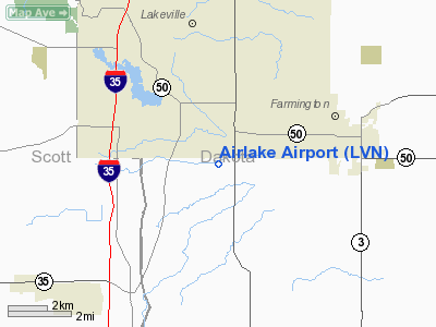
Airlake Airport (ICAO: KLVN, FAA LID: LVN) is a public airport located in the southern suburbs of the Twin Cities in Minnesota, near the communities of Lakeville and Farmington in Dakota County, about 22 miles (35 km) south of the central business district of Minneapolis. It is owned by the Metropolitan Airports Commission.
Although most U.S. airports use the same three-letter location identifier for the FAA and IATA, Airlake Airport is assigned LVN by the FAA but has no designation from the IATA.
Facilities and aircraft
Airlake Airport covers an area of 425 acres (172 ha) and contains one asphalt paved runway designated 12/30 which measures 4,098 x 75 ft (1,249 x 23 m). For the 12-month period ending May 30, 2006, the airport had 65,000 general aviation aircraft operations, an average of 178 per day. There are 159 aircraft based at this airport: 95% single-engine, 4% multi-engine and 1% jet.
Future plans include new hangars in the southwest corner of the airfield, expanding the primary runway to 4,600 feet (1,400 m), and developing a 2,500-foot (760 m) crosswind runway.
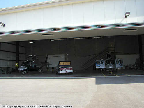
There is one FBO, Aircraft Resource Center.
The above content comes from Wikipedia and is published under free licenses – click here to read more.
|
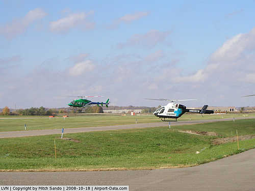 |
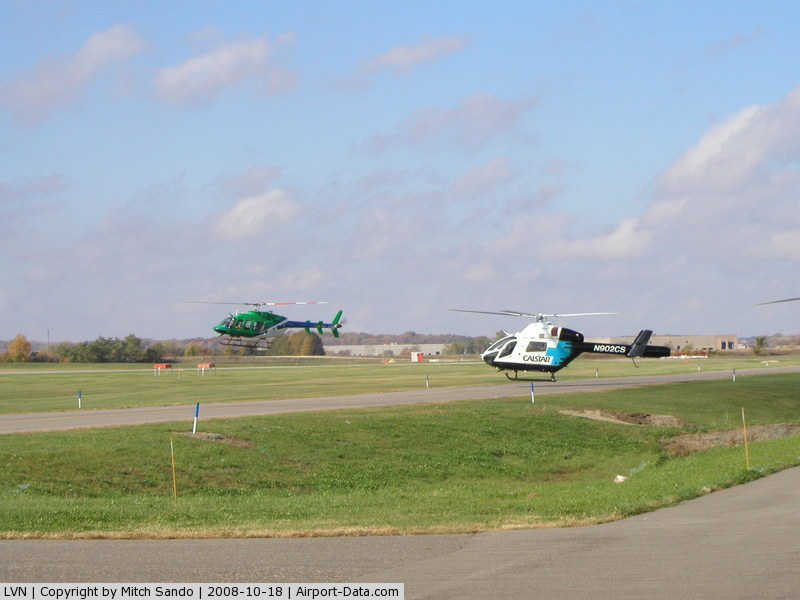
(Click on the photo to enlarge) |
|
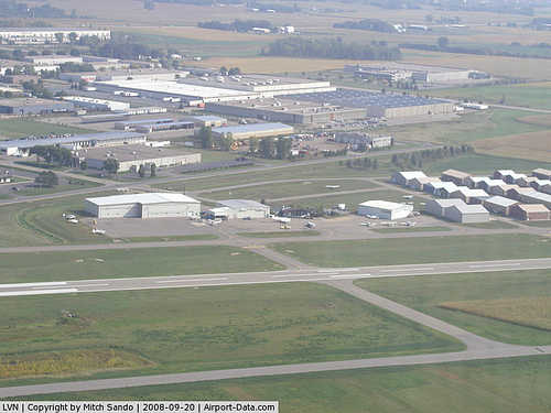 |
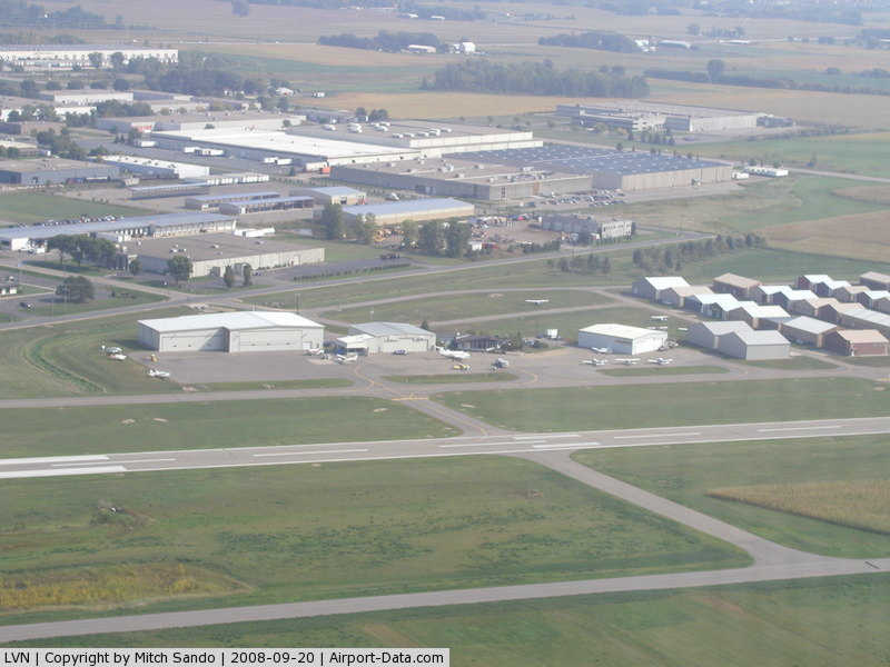
(Click on the photo to enlarge) |
|
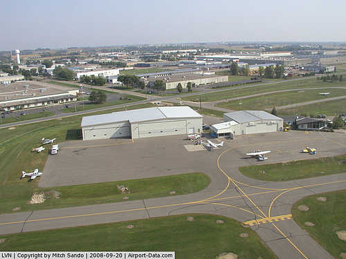 |
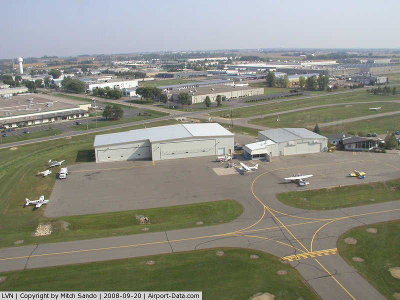
(Click on the photo to enlarge) |
|
 |
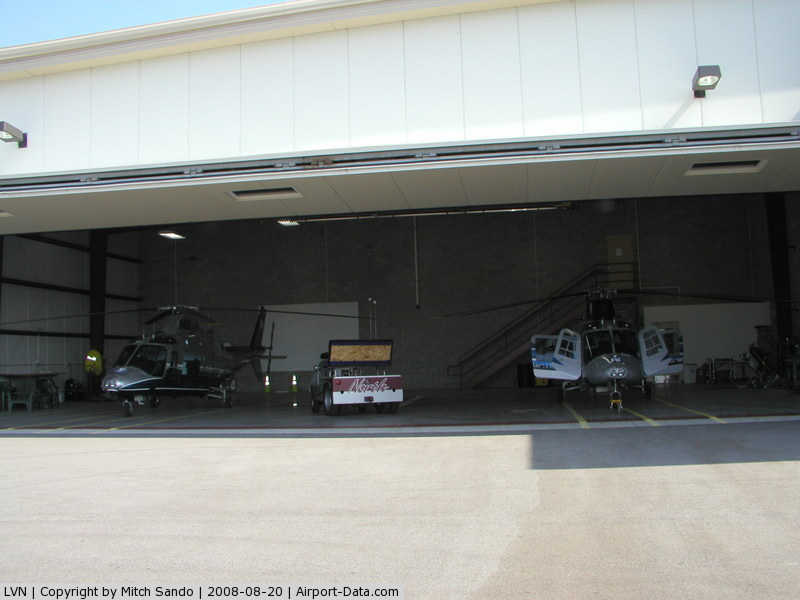
(Click on the photo to enlarge) |
Location & QuickFacts
| FAA Information Effective: | 2008-09-25 |
| Airport Identifier: | LVN |
| Airport Status: | Operational |
| Longitude/Latitude: | 093-13-41.1000W/44-37-40.3000N
-93.228083/44.627861 (Estimated) |
| Elevation: | 960 ft / 292.61 m (Surveyed) |
| Land: | 425 acres |
| From nearest city: | 22 nautical miles S of Minneapolis, MN |
| Location: | Dakota County, MN |
| Magnetic Variation: | 03E (1995) |
Owner & Manager
| Ownership: | Publicly owned |
| Owner: | Metro Arpts Cmsn |
| Address: | 6040 28th Ave So.
Minneapolis, MN 55450 |
| Phone number: | 612-726-8100 |
| Manager: | Jeff Nawrocki
MAINT SUPVR VERN KEN 612-469-4040 MON-FRI 0800-1630. |
| Address: | 6040 - 28th Ave So.
Minneapolis, MN 55450 |
| Phone number: | 952-469-4414 |
Airport Operations and Facilities
| Airport Use: | Open to public |
| Wind indicator: | Yes |
| Segmented Circle: | No |
| Control Tower: | No |
| Lighting Schedule: | DUSK-DAWN
ACTVT HIRL RY 12/30, REIL & VASI RY 12, MALSR & PAPI RY 30 - CTAF. |
| Beacon Color: | Clear-Green (lighted land airport) |
| Landing fee charge: | No |
| Sectional chart: | Twin Cities |
| Region: | AGL - Great Lakes |
| Traffic Pattern Alt: | 800 ft |
| Boundary ARTCC: | ZMP - Minneapolis |
| Tie-in FSS: | PNM - Princeton |
| FSS on Airport: | No |
| FSS Toll Free: | 1-800-WX-BRIEF |
| NOTAMs Facility: | LVN (NOTAM-d service avaliable) |
| Federal Agreements: | NGY |
Airport Communications
| CTAF: | 123.000 |
| Unicom: | 123.000 |
Airport Services
| Fuel available: | 100LLA
SELF SERVICE FUEL AVBL 24 HRS WITH CREDIT CARD. |
| Airframe Repair: | MAJOR |
| Power Plant Repair: | MAJOR |
| Bottled Oxygen: | LOW |
Runway Information
Runway 12/30
| Dimension: | 4098 x 75 ft / 1249.1 x 22.9 m
REPAINTED. DISPLACEMENT ON NW END NOW TAXIWAY. |
| Surface: | ASPH, Good Condition |
| Weight Limit: | Single wheel: 30000 lbs.
Dual wheel: 80000 lbs. |
| Edge Lights: | High |
| |
Runway 12 |
Runway 30 |
| Longitude: | 093-14-06.2953W | 093-13-15.9891W |
| Latitude: | 44-37-49.6246N | 44-37-30.9727N |
| Elevation: | 960.00 ft | 951.00 ft |
| Alignment: | 117 | 127 |
| ILS Type: | | ILS
|
| Traffic Pattern: | Right | Left |
| Markings: | Non-precision instrument, Good Condition | Precision instrument, Good Condition |
| Crossing Height: | 37.00 ft | 29.00 ft |
| Displaced threshold: | 0.00 ft | 392.00 ft |
| VASI: | 4-box on left side | 4-light PAPI on right side |
| Visual Glide Angle: | 3.25° | 3.00° |
| Approach lights: | | MALSR |
| Runway End Identifier: | Yes | |
| Centerline Lights: | No | No |
| Touchdown Lights: | No | No |
| Obstruction: | 50 ft tree, 1040.0 ft from runway, 550 ft left of centerline, 16:1 slope to clear | 15 ft road, 850.0 ft from runway, 315 ft right of centerline, 43:1 slope to clear
50:1 TO DSPLCD THR. |
|
Radio Navigation Aids
| ID |
Type |
Name |
Ch |
Freq |
Var |
Dist |
| MS | NDB | Narco | | 266.00 | 02E | 13.3 nm |
| PPI | NDB | Hopey | | 400.00 | 03E | 19.1 nm |
| ACQ | NDB | Waseca | | 371.00 | 02E | 36.3 nm |
| GYL | NDB | Glencoe | | 407.00 | 03E | 37.5 nm |
| RNH | NDB | New Richmond | | 257.00 | 02E | 43.0 nm |
| OEO | NDB | Osceola | | 233.00 | 01E | 47.0 nm |
| FCM | VOR/DME | Flying Cloud | 055X | 111.80 | 06E | 15.4 nm |
| MSP | VOR/DME | Minneapolis | 100X | 115.30 | 02E | 16.2 nm |
| FOW | VOR/DME | Halfway | 049X | 111.20 | 02E | 26.2 nm |
| MKT | VOR/DME | Mankato | 045X | 110.80 | 07E | 38.3 nm |
| FGT | VORTAC | Farmington | 104X | 115.70 | 06E | 2.0 nm |
| GEP | VORTAC | Gopher | 120X | 117.30 | 06E | 31.7 nm |
| MSP | VOT | Minneapolis St Paul | | 111.00 | | 15.4 nm |
| STP | VOT | St Paul | | 114.40 | | 20.1 nm |
Remarks
- BIRDS ON & INVOF ARPT.
- ULTRALIGHT OPNS NOT PERMITTED.
- HANGARS 450 FT FROM CENTERLINE IN PRIMARY SURFACE.
Images and information placed above are from
http://www.airport-data.com/airport/LVN/
We thank them for the data!
| General Info
|
| Country |
United States
|
| State |
MINNESOTA
|
| FAA ID |
LVN
|
| Latitude |
44-37-40.273N
|
| Longitude |
093-13-41.189W
|
| Elevation |
960 feet
|
| Near City |
MINNEAPOLIS
|
We don't guarantee the information is fresh and accurate. The data may
be wrong or outdated.
For more up-to-date information please refer to other sources.
|
|