 |
|
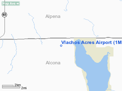
Location & QuickFacts
| FAA Information Effective: | 2008-09-25 |
| Airport Identifier: | 1MI8 |
| Airport Status: | Operational |
| Longitude/Latitude: | 083-38-12.9300W/44-50-48.0400N
-83.636925/44.846678 (Estimated) |
| Elevation: | 785 ft / 239.27 m (Estimated) |
| Land: | 0 acres |
| From nearest city: | 2 nautical miles E of Hubbard, MI |
| Location: | Alcona County, MI |
| Magnetic Variation: | 06W (1990) |
Owner & Manager
| Ownership: | Privately owned |
| Owner: | Daniel Vlachos |
| Address: | 325 Helen
Inkster, MI 48141 |
| Phone number: | 313-277-3347 |
| Manager: | Daniel Vlachos |
| Address: | 325 Helen
Inkster, MI 48141 |
| Phone number: | 313-277-3347 |
Airport Operations and Facilities
| Airport Use: | Private |
| Segmented Circle: | No |
| Control Tower: | No |
| Sectional chart: | Lake Huron |
| Region: | AGL - Great Lakes |
| Boundary ARTCC: | ZMP - Minneapolis |
| Tie-in FSS: | LAN - Lansing |
| FSS Toll Free: | 1-800-WX-BRIEF |
Runway Information
Runway 14/32
| Dimension: | 1800 x 200 ft / 548.6 x 61.0 m |
| Surface: | TURF, |
| |
Runway 14 |
Runway 32 |
| Traffic Pattern: | Left | Left |
|
Runway 18/36
| Dimension: | 2600 x 200 ft / 792.5 x 61.0 m |
| Surface: | TURF, |
| |
Runway 18 |
Runway 36 |
| Traffic Pattern: | Left | Left |
| Obstruction: | 50 ft trees, 50.0 ft from runway | 50 ft trees, 400.0 ft from runway |
|
Radio Navigation Aids
| ID |
Type |
Name |
Ch |
Freq |
Var |
Dist |
| PZQ | NDB | Rogers City | | 215.00 | 07W | 34.4 nm |
| BHW | NDB | Hardwood | | 236.00 | 06W | 40.7 nm |
| CGG | VOR | Grayling | | 109.80 | 06W | 47.6 nm |
| ASP | VOR/DME | Au Sable | 108X | 116.10 | 07W | 26.1 nm |
| BXZ | VOR/DME | West Branch | 079X | 113.20 | 06W | 43.2 nm |
| GLR | VOR/DME | Gaylord | 029X | 109.20 | 06W | 46.5 nm |
| APN | VORTAC | Alpena | 025X | 108.80 | 07W | 14.6 nm |
Remarks
- PRVDD ANY OBSTRUCTION IN RY APCH SLOPE SFC BE LOWERED/REMOVED OR RY THRS BE DSPLCD & MKD TO PRVD A MIN 20:1 APCH SFC CLNC OVER OBSTRUCTIONS.
Images and information placed above are from
http://www.airport-data.com/airport/1MI8/
We thank them for the data!
| General Info
|
| Country |
United States
|
| State |
MICHIGAN
|
| FAA ID |
1MI8
|
| Latitude |
44-50-48.040N
|
| Longitude |
083-38-12.930W
|
| Elevation |
785 feet
|
| Near City |
HUBBARD
|
We don't guarantee the information is fresh and accurate. The data may
be wrong or outdated.
For more up-to-date information please refer to other sources.
|
|


