 |
|
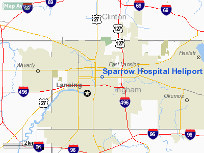
Sparrow Hospital Heliport |
Location & QuickFacts
| FAA Information Effective: | 2008-09-25 |
| Airport Identifier: | 08MI |
| Airport Status: | Operational |
| Longitude/Latitude: | 084-32-09.0000W/42-44-04.0000N
-84.535833/42.734444 (Estimated) |
| Elevation: | 1019 ft / 310.59 m (Estimated) |
| Land: | 0 acres |
| From nearest city: | 0 nautical miles E of Lansing, MI |
| Location: | Ingham County, MI |
| Magnetic Variation: | 04W (1980) |
Owner & Manager
| Ownership: | Privately owned |
| Owner: | Sparrow Health Systems |
| Address: | 1215 East Michigan Ave
Lansing, MI 48902 |
| Phone number: | 517-483-2504 |
| Manager: | Sparrow Safety & Security Dep |
| Address: | 1215 East Michigan Ave
Lansing, MI 48902 |
| Phone number: | 517-483-2000 |
Airport Operations and Facilities
| Airport Use: | Private
MEDICAL USE. |
| Wind indicator: | Yes |
| Segmented Circle: | No |
| Control Tower: | No |
| Lighting Schedule: | PHONE REQ
FOR LIRL RY H1 & ROTG BCN CALL 517-483-2000. |
| Beacon Color: | Clear-Green-Yellow (heliport) |
| Sectional chart: | Detroit |
| Region: | AGL - Great Lakes |
| Boundary ARTCC: | ZOB - Cleveland |
| Tie-in FSS: | LAN - Lansing |
| FSS Toll Free: | 1-800-WX-BRIEF |
Runway Information
Helipad H1
| Dimension: | 60 x 60 ft / 18.3 x 18.3 m |
| Surface: | ROOF-TOP, |
| Edge Lights: | Low |
| |
Runway H1 |
Runway |
| Traffic Pattern: | Left | Left |
|
Radio Navigation Aids
| ID |
Type |
Name |
Ch |
Freq |
Var |
Dist |
| OZW | NDB | Howell | | 243.00 | 05W | 25.0 nm |
| BT | NDB | Batol | | 272.00 | 04W | 36.4 nm |
| AMN | NDB | Alma | | 329.00 | 05W | 37.1 nm |
| JXN | VOR/DME | Jackson | 033X | 109.60 | 05W | 28.8 nm |
| LFD | VOR/DME | Litchfield | 049X | 111.20 | 05W | 41.7 nm |
| GRR | VOR/DME | Grand Rapids | 106Y | 115.95 | 04W | 42.5 nm |
| LAN | VORTAC | Lansing | 045X | 110.80 | 05W | 7.2 nm |
| FNT | VORTAC | Flint | 116X | 116.90 | 06W | 37.5 nm |
| BTL | VORTAC | Battle Creek | 031X | 109.40 | 02W | 40.7 nm |
| PSI | VORTAC | Pontiac | 047X | 111.00 | 03W | 44.3 nm |
| SVM | VORTAC | Salem | 090X | 114.30 | 03W | 46.0 nm |
Remarks
- PRVDD OPNS CONDUCTED FM 190 DEG TO 300 DEG; AREA IS MRKD; WIND INDICATOR IS MNTD.
Images and information placed above are from
http://www.airport-data.com/airport/08MI/
We thank them for the data!
| General Info
|
| Country |
United States
|
| State |
MICHIGAN
|
| FAA ID |
08MI
|
| Latitude |
42-44-03.125N
|
| Longitude |
084-32-11.922W
|
| Elevation |
860 feet
|
| Near City |
LANSING
|
We don't guarantee the information is fresh and accurate. The data may
be wrong or outdated.
For more up-to-date information please refer to other sources.
|
|


