|
|
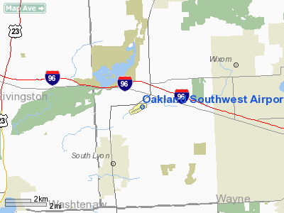
Oakland Southwest Airport |
| Oakland Southwest Airport |
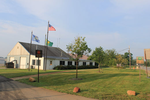 |
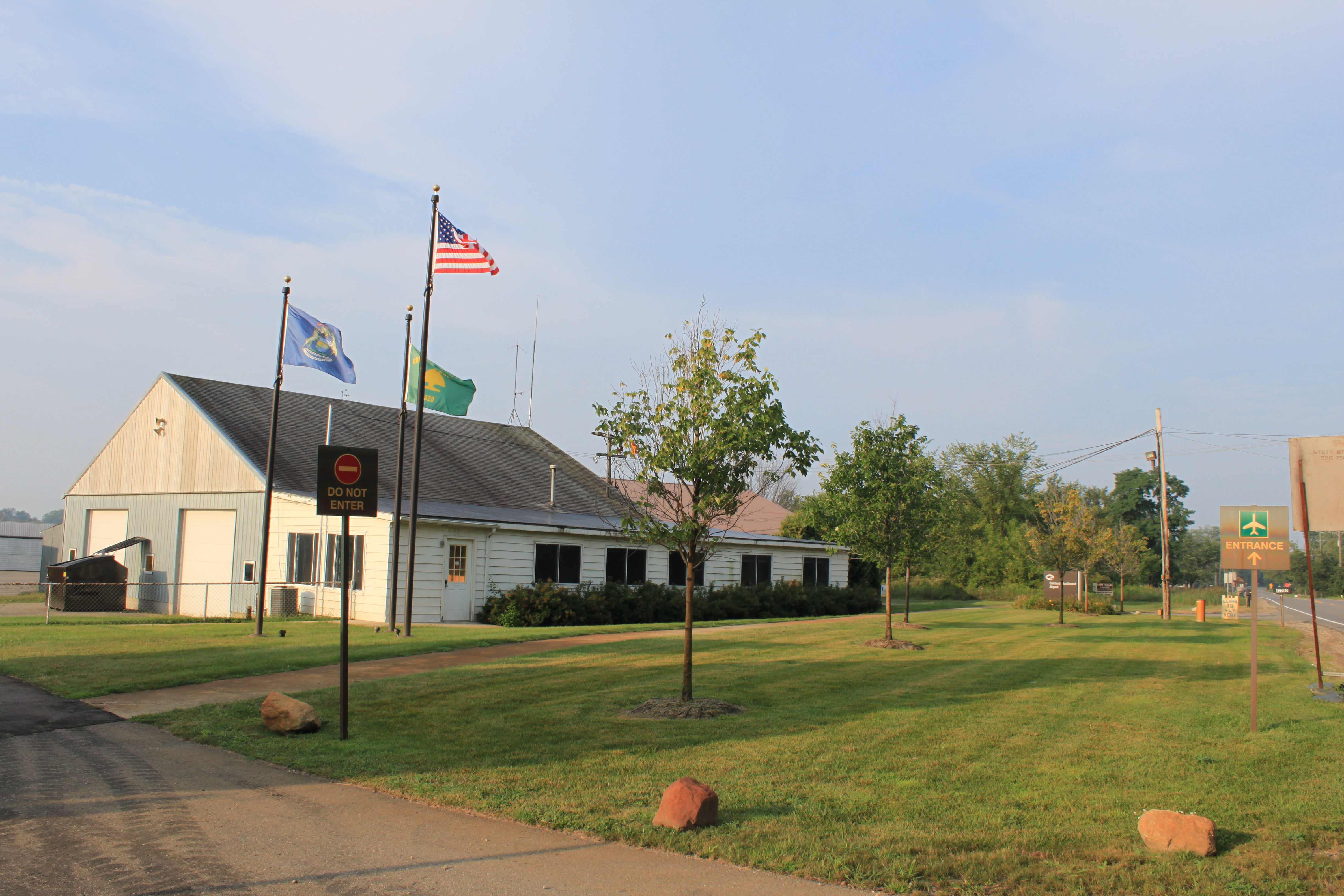
| Airport entrance |
| IATA: none – ICAO: none – FAA LID: Y47 |
| Summary |
| Airport type |
Public |
| Operator |
Oakland County |
| Location |
New Hudson, Michigan |
| Elevation AMSL |
926 ft / 282 m |
| Coordinates |
42°30′19″N 083°37′42″W / 42.50528°N 83.62833°W / 42.50528; -83.62833Coordinates: 42°30′19″N 083°37′42″W / 42.50528°N 83.62833°W / 42.50528; -83.62833 |
| Runways |
| Direction |
Length |
Surface |
| ft |
m |
| 07/25 |
3128 |
953 |
Asphalt |
Oakland Southwest Airport (FAA LID: Y47) is a public airport owned and operated by Oakland County located 1 mi (1.6 km) southwest of New Hudson, Michigan, United States. The airport is uncontrolled, and is used for general aviation purposes.
On average, 56 aircraft operations occur each day, and 100% of the operation are general aviation. No commercial airline service is available. 96 aircraft are based on the field.
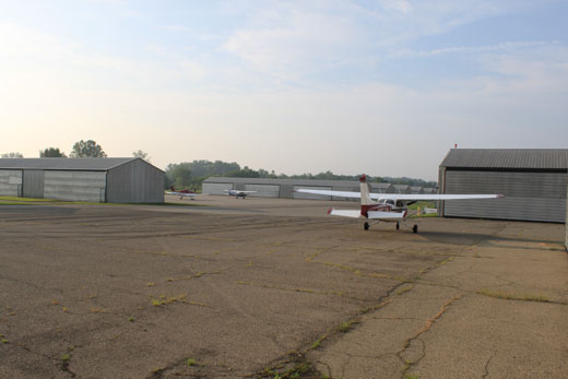 | |
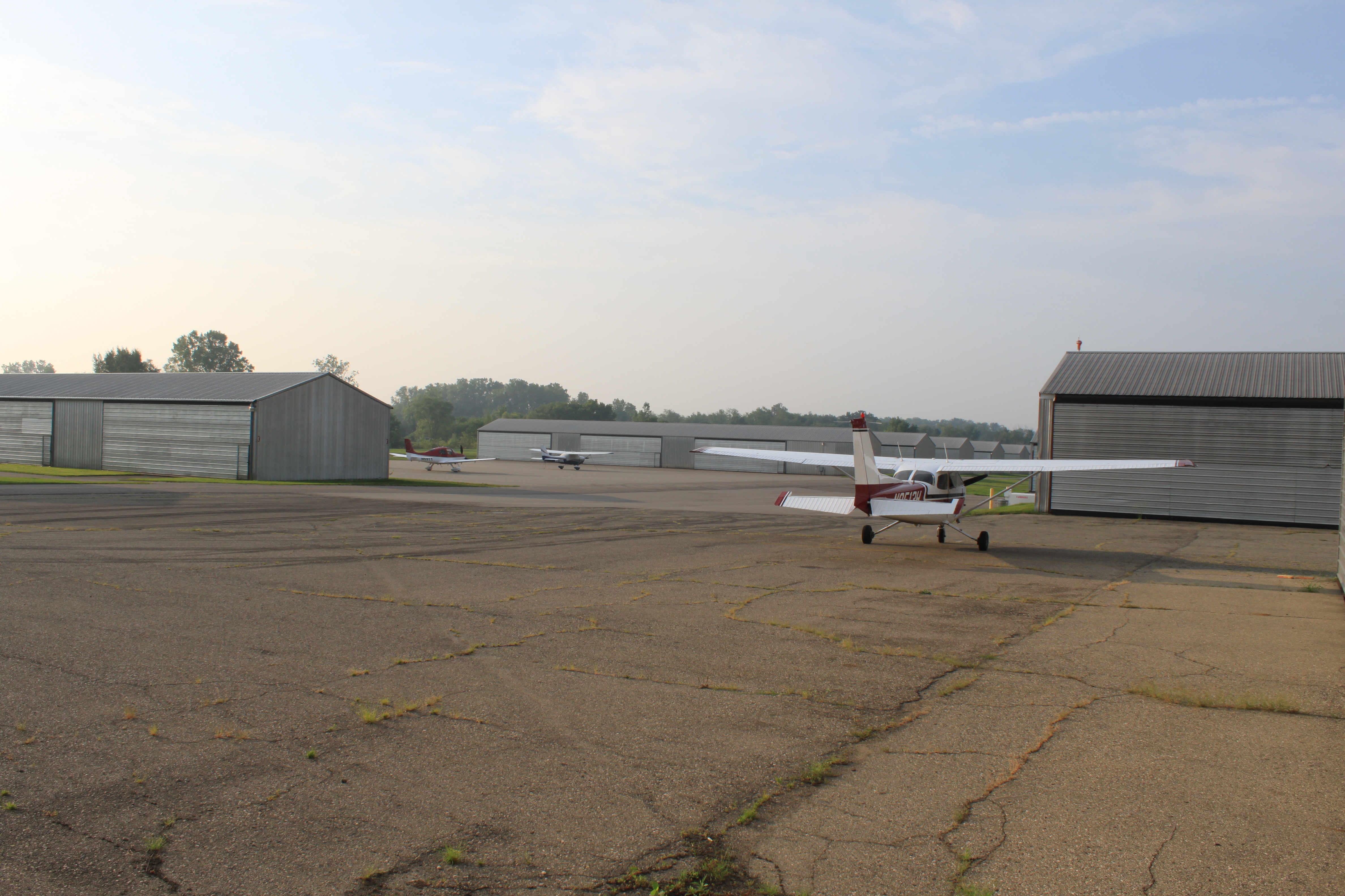
Planes in hangar area |
The above content comes from Wikipedia and is published under free licenses – click here to read more.
Location & QuickFacts
| FAA Information Effective: | 2008-09-25 |
| Airport Identifier: | Y47 |
| Airport Status: | Operational |
| Longitude/Latitude: | 083-37-25.3800W/42-30-11.2210N
-83.623717/42.503117 (Estimated) |
| Elevation: | 926 ft / 282.24 m (Estimated) |
| Land: | 67 acres |
| From nearest city: | 1 nautical miles SW of New Hudson, MI |
| Location: | Oakland County, MI |
| Magnetic Variation: | 03W (1965) |
Owner & Manager
| Ownership: | Publicly owned |
| Owner: | Oakland County
MAILING ADRESS BOX 329 NEW HUDSON MI 48165 |
| Address: | 6500 Highland Rd
Waterford, MI 48327
ARPT ADDRESS 57751 PONTIAC TRAIL NEW HUDSON MI 48165. |
| Phone number: | 248-666-3900 |
| Manager: | Karl W Randall |
| Address: | 6500 Highland Rd
Waterford, MI 48165 |
| Phone number: | 248-666-3900 |
Airport Operations and Facilities
| Airport Use: | Open to public |
| Wind indicator: | Yes |
| Segmented Circle: | Yes |
| Control Tower: | No |
| Lighting Schedule: | DUSK-DAWN |
| Beacon Color: | Clear-Green (lighted land airport) |
| Landing fee charge: | No |
| Sectional chart: | Detroit |
| Region: | AGL - Great Lakes |
| Boundary ARTCC: | ZOB - Cleveland |
| Tie-in FSS: | LAN - Lansing |
| FSS on Airport: | No |
| FSS Toll Free: | 1-800-WX-BRIEF |
| NOTAMs Facility: | LAN (NOTAM-d service avaliable) |
| Federal Agreements: | N |
Airport Communications
| CTAF: | 122.700 |
| Unicom: | 122.700 |
Airport Services
| Fuel available: | 100LL |
| Airframe Repair: | MAJOR |
| Power Plant Repair: | MAJOR |
| Bottled Oxygen: | NONE |
| Bulk Oxygen: | NONE |
Runway Information
Runway 07/25
| Dimension: | 3128 x 40 ft / 953.4 x 12.2 m |
| Surface: | ASPH, Fair Condition |
| Edge Lights: | Low |
| |
Runway 07 |
Runway 25 |
| Longitude: | 083-37-45.1240W | 083-37-05.5630W |
| Latitude: | 42-30-06.3040N | 42-30-16.1960N |
| Elevation: | 921.00 ft | 926.00 ft |
| Alignment: | 71 | 127 |
| Traffic Pattern: | Left | Left |
| Markings: | Basic, Fair Condition | Basic, Fair Condition |
| Displaced threshold: | 460.00 ft | 465.00 ft |
| VASI: | 2-box on right side | 2-box on left side |
| Visual Glide Angle: | 3.00° | 3.00° |
| Runway End Identifier: | No | No |
| Centerline Lights: | No | No |
| Touchdown Lights: | No | No |
| Obstruction: | 20 ft brush, 201.0 ft from runway
APCH RATIO 3:1 TO DSPLCD THLD; +25 FT TREE 75 FT FM DSPLCD THLD, 84 FT L.
-4 FT DITCH 40 FT FM THR & SCTD +5-15 FT BRUSH. | 30 ft trees, 201.0 ft from runway, 110 ft right of centerline
APCH RATIO 7:1 AT DSPLCD THLD +11 FT TREE 80 FT L, 117 FT FM DSPLCD THLD.
20' BRUSH 84' FM THR 110' L; +10' STACKED DRAIN TILE 125' FM THLD 120'L. |
|
Radio Navigation Aids
| ID |
Type |
Name |
Ch |
Freq |
Var |
Dist |
| OZW | NDB | Howell | | 243.00 | 05W | 17.9 nm |
| G | NDB | Golf | | 398.00 | 05W | 30.0 nm |
| TCU | NDB | Tecumseh | | 239.00 | 04W | 30.3 nm |
| VQ | NDB | Cargl | | 230.00 | 05W | 31.0 nm |
| RYS | NDB | Grosse Ile | | 419.00 | 06W | 32.0 nm |
| QG | NDB | Windsor | | 353.00 | 06W | 35.4 nm |
| ADG | NDB | Adrian | | 278.00 | 06W | 43.1 nm |
| MTC | TACAN | Selfridge | 064X | | 06W | 35.7 nm |
| DXO | VOR/DME | Detroit | 081X | 113.40 | 06W | 20.8 nm |
| YQG | VOR/DME | Windsor | 085X | 113.80 | 06W | 38.4 nm |
| JXN | VOR/DME | Jackson | 033X | 109.60 | 05W | 39.9 nm |
| SVM | VORTAC | Salem | 090X | 114.30 | 03W | 5.8 nm |
| PSI | VORTAC | Pontiac | 047X | 111.00 | 03W | 12.5 nm |
| CRL | VORTAC | Carleton | 104X | 115.70 | 03W | 28.3 nm |
| FNT | VORTAC | Flint | 116X | 116.90 | 06W | 28.4 nm |
| LAN | VORTAC | Lansing | 045X | 110.80 | 05W | 49.2 nm |
| YIP | VOT | Willow Run | | 112.00 | | 16.8 nm |
| DTW | VOT | Detroit Met Wayne | | 109.80 | | 20.1 nm |
| DET | VOT | Detroit City | | 111.60 | | 27.6 nm |
Remarks
- OCNL 4"-6" DROP OFF ON RY & TAXIWAY SHOULDERS.
- TREES & BRUSH IN PRIMARY SURFACE 70-120 FT L & R.
- EXISTED PRIOR TO 1959.
Images and information placed above are from
http://www.airport-data.com/airport/Y47/
We thank them for the data!
| General Info
|
| Country |
United States
|
| State |
MICHIGAN
|
| FAA ID |
Y47
|
| Latitude |
42-30-11.221N
|
| Longitude |
083-37-25.380W
|
| Elevation |
926 feet
|
| Near City |
NEW HUDSON
|
We don't guarantee the information is fresh and accurate. The data may
be wrong or outdated.
For more up-to-date information please refer to other sources.
|
|