 |
|
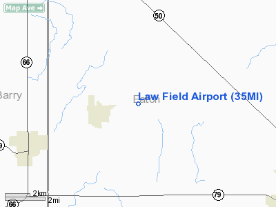
Location & QuickFacts
| FAA Information Effective: | 2008-09-25 |
| Airport Identifier: | 35MI |
| Airport Status: | Operational |
| Longitude/Latitude: | 084-59-08.9780W/42-38-02.1280N
-84.985827/42.633924 (Estimated) |
| Elevation: | 920 ft / 280.42 m (Estimated) |
| Land: | 6 acres |
| From nearest city: | 2 nautical miles NE of Vermontville, MI |
| Location: | Eaton County, MI |
| Magnetic Variation: | 04W (1990) |
Owner & Manager
| Ownership: | Privately owned |
| Owner: | Larry L Law |
| Address: | 4790 Allegan Rd
Vermontville, MI 49096 |
| Phone number: | 517-726-0391 |
| Manager: | Larry L Law |
| Address: | 4790 Allegan Rd
Vermontville, MI 49096 |
| Phone number: | 517-726-0391 |
Airport Operations and Facilities
| Airport Use: | Private |
| Wind indicator: | Yes |
| Segmented Circle: | No |
| Control Tower: | No |
| Sectional chart: | Detroit |
| Region: | AGL - Great Lakes |
| Boundary ARTCC: | ZOB - Cleveland |
| Tie-in FSS: | LAN - Lansing |
| FSS on Airport: | No |
| FSS Toll Free: | 1-800-WX-BRIEF |
Runway Information
Runway 06/24
| Dimension: | 2600 x 100 ft / 792.5 x 30.5 m |
| Surface: | TURF, |
| |
Runway 06 |
Runway 24 |
| Traffic Pattern: | Left | Left |
| Obstruction: | 30 ft bldg, 2310.0 ft from runway | 30 ft pline, 300.0 ft from runway |
|
Radio Navigation Aids
| ID |
Type |
Name |
Ch |
Freq |
Var |
Dist |
| BT | NDB | Batol | | 272.00 | 04W | 18.6 nm |
| AMN | NDB | Alma | | 329.00 | 05W | 42.4 nm |
| OZW | NDB | Howell | | 243.00 | 05W | 44.1 nm |
| HAI | NDB | Three Rivers | | 407.00 | 02W | 48.7 nm |
| GRR | VOR/DME | Grand Rapids | 106Y | 115.95 | 04W | 24.4 nm |
| JXN | VOR/DME | Jackson | 033X | 109.60 | 05W | 32.5 nm |
| AZO | VOR/DME | Kalamazoo | 027X | 109.00 | 01W | 34.7 nm |
| LFD | VOR/DME | Litchfield | 049X | 111.20 | 05W | 35.7 nm |
| LAN | VORTAC | Lansing | 045X | 110.80 | 05W | 13.7 nm |
| BTL | VORTAC | Battle Creek | 031X | 109.40 | 02W | 22.8 nm |
Remarks
- OBJECTS EXIST WITHIN THE AIRSPACE NEEDED TO INSURE SAFETY IN TKOF & LNDG.
Images and information placed above are from
http://www.airport-data.com/airport/35MI/
We thank them for the data!
| General Info
|
| Country |
United States
|
| State |
MICHIGAN
|
| FAA ID |
35MI
|
| Latitude |
42-38-02.128N
|
| Longitude |
084-59-08.978W
|
| Elevation |
920 feet
|
| Near City |
VERMONTVILLE
|
We don't guarantee the information is fresh and accurate. The data may
be wrong or outdated.
For more up-to-date information please refer to other sources.
|
|


