|
|
|
 |
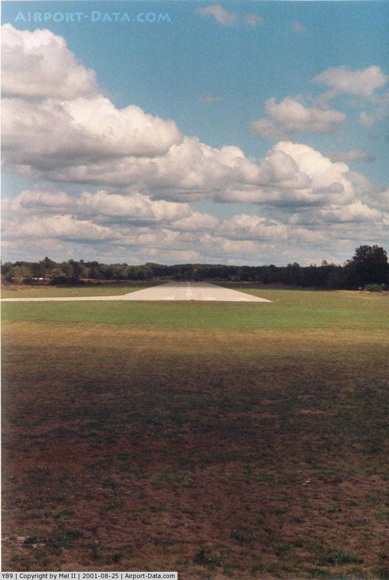
(Click on the photo to enlarge) |
|
 |
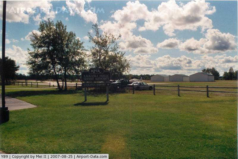
(Click on the photo to enlarge) |
Location & QuickFacts
| FAA Information Effective: | 2008-09-25 |
| Airport Identifier: | Y89 |
| Airport Status: | Operational |
| Longitude/Latitude: | 085-12-11.2500W/44-43-30.6600N
-85.203125/44.725183 (Estimated) |
| Elevation: | 1030 ft / 313.94 m (Surveyed) |
| Land: | 160 acres |
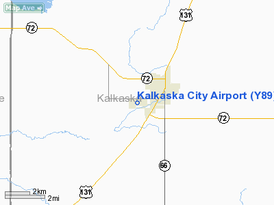
| From nearest city: | 1 nautical miles SW of Kalkaska, MI |
| Location: | Kalkaska County, MI |
| Magnetic Variation: | 05W (1985) |
Owner & Manager
| Ownership: | Publicly owned |
| Owner: | Village Of Kalkaska |
| Address: | 109 4th St
Kalkaska, MI 49646
ARPT LOCATED AT 1325 ISLAND LK RD |
| Phone number: | 231-258-9191 |
| Manager: | Pending |
| Address: | Po Box 489
Kalkaska, MI 49646 |
| Phone number: | 231-258-9191
AFTER HRS FIELD CONDITIONS, CTC CENTRAL DISPATCH 231-258-3350. |
Airport Operations and Facilities
| Airport Use: | Open to public |
| Wind indicator: | Yes |
| Segmented Circle: | Yes |
| Control Tower: | No |
| Lighting Schedule: | RDO-CTL
ACTVT MIRL RY 10/28 & PAPI RYS 10 & 28 - CTAF. |
| Landing fee charge: | No |
| Sectional chart: | Green Bay |
| Region: | AGL - Great Lakes |
| Boundary ARTCC: | ZMP - Minneapolis |
| Tie-in FSS: | LAN - Lansing |
| FSS on Airport: | No |
| FSS Toll Free: | 1-800-WX-BRIEF |
| NOTAMs Facility: | LAN (NOTAM-d service avaliable) |
Airport Communications
Airport Services
Runway Information
Runway 10/28
| Dimension: | 3500 x 75 ft / 1066.8 x 22.9 m |
| Surface: | ASPH, Good Condition |
| Edge Lights: | Medium |
| |
Runway 10 |
Runway 28 |
| Longitude: | 085-12-34.9600W | 085-11-47.5356W |
| Latitude: | 44-43-34.2500N | 44-43-27.0760N |
| Traffic Pattern: | Left | Left |
| Markings: | Basic, Good Condition
RWY MKG FADED | Basic, Good Condition
RWY10/28 MKG FADED |
| Crossing Height: | 24.00 ft | 32.00 ft |
| VASI: | 2-light PAPI on left side | 2-light PAPI on left side |
| Visual Glide Angle: | 3.00° | 4.00° |
| Obstruction: | 32 ft trees, 1000.0 ft from runway, 25:1 slope to clear | 75 ft trees, 1700.0 ft from runway, 20:1 slope to clear |
|
Radio Navigation Aids
| ID |
Type |
Name |
Ch |
Freq |
Var |
Dist |
| TV | NDB | Gwenn | | 365.00 | 05W | 9.7 nm |
| CXK | NDB | Clam Lake | | 251.00 | 05W | 10.6 nm |
| GYG | NDB | Grayling | | 359.00 | 06W | 16.1 nm |
| CAD | NDB | Cadillac | | 269.00 | 04W | 28.5 nm |
| BFA | NDB | Boyne Falls | | 263.00 | 06W | 29.1 nm |
| CVX | NDB | Charlevoix | | 392.00 | 05W | 34.8 nm |
| CGG | VOR | Grayling | | 109.80 | 06W | 20.4 nm |
| GLR | VOR/DME | Gaylord | 029X | 109.20 | 06W | 27.4 nm |
| HTL | VOR/DME | Houghton Lake | 053X | 111.60 | 05W | 31.9 nm |
| TVC | VORTAC | Traverse City | 093X | 114.60 | 02W | 15.2 nm |
Remarks
- ADMIN BLDG & PHONE 300 FT WEST OF ACFT PKG AREA, IN TRANSIT AUTHORTY OFFICE.
- DEER & BIRDS ON & INVOF ARPT.
Images and information placed above are from
http://www.airport-data.com/airport/Y89/
We thank them for the data!
| General Info
|
| Country |
United States
|
| State |
MICHIGAN
|
| FAA ID |
Y89
|
| Latitude |
44-43-30.660N
|
| Longitude |
085-12-11.250W
|
| Elevation |
1030 feet
|
| Near City |
KALKASKA
|
We don't guarantee the information is fresh and accurate. The data may
be wrong or outdated.
For more up-to-date information please refer to other sources.
|
|