 |
|
Location & QuickFacts
| FAA Information Effective: | 2008-09-25 |
| Airport Identifier: | 39MI |
| Airport Status: | Operational |
| Longitude/Latitude: | 088-10-20.4870W/46-10-07.8100N
-88.172358/46.168836 (Estimated) |
| Elevation: | 1418 ft / 432.21 m (Estimated) |
| Land: | 40 acres |
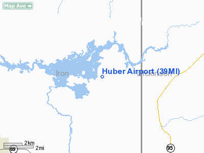
| From nearest city: | 8 nautical miles NE of Crystal Falls, MI |
| Location: | Iron County, MI |
| Magnetic Variation: | 02W (1985) |
Owner & Manager
| Ownership: | Privately owned |
| Owner: | Bears, Ltd. |
| Address: | 580 E. Merchant St.
Kankakee, IL 60901 |
| Manager: | Frederick E. Huber |
| Address: |
|
Airport Operations and Facilities
| Airport Use: | Private |
| Segmented Circle: | No |
| Control Tower: | No |
| Landing fee charge: | No |
| Sectional chart: | Green Bay |
| Region: | AGL - Great Lakes |
| Boundary ARTCC: | ZMP - Minneapolis |
| Tie-in FSS: | GRB - Green Bay |
| FSS on Airport: | No |
| FSS Toll Free: | 1-800-WX-BRIEF |
Airport Services
| Airframe Repair: | NONE |
| Power Plant Repair: | NONE |
| Bottled Oxygen: | NONE |
| Bulk Oxygen: | NONE |
Runway Information
Runway 14/32
| Dimension: | 1625 x 120 ft / 495.3 x 36.6 m |
| Surface: | TURF, |
| |
Runway 14 |
Runway 32 |
| Traffic Pattern: | Left | Left |
| Runway End Identifier: | No | No |
| Centerline Lights: | No | No |
| Touchdown Lights: | No | No |
|
Radio Navigation Aids
| ID |
Type |
Name |
Ch |
Freq |
Var |
Dist |
| LNL | NDB | Land O Lakes | | 396.00 | 02W | 43.2 nm |
| RXW | NDB | Watersmeet | | 407.00 | 01E | 46.6 nm |
| EGV | NDB | Eagle River | | 341.00 | 02W | 47.7 nm |
| IMT | VOR/DME | Iron Mountain | 049X | 111.20 | 02W | 21.4 nm |
| MQT | VOR/DME | Marquette/dcmsnd | 114X | 116.70 | 02W | 32.6 nm |
| SAW | VOR/DME | Sawyer | 118X | 117.10 | 04W | 34.2 nm |
Remarks
- ARPT OPEN SKI-PLANES IN WINTER.
- ARPT ESTBD PRIOR TO 1959.
Images and information placed above are from
http://www.airport-data.com/airport/39MI/
We thank them for the data!
| General Info
|
| Country |
United States
|
| State |
MICHIGAN
|
| FAA ID |
39MI
|
| Latitude |
46-10-07.810N
|
| Longitude |
088-10-20.487W
|
| Elevation |
1418 feet
|
| Near City |
CRYSTAL FALLS
|
We don't guarantee the information is fresh and accurate. The data may
be wrong or outdated.
For more up-to-date information please refer to other sources.
|
|


