 |
|
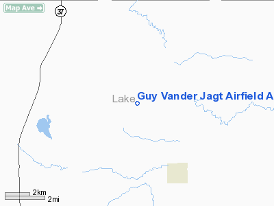
Guy Vander Jagt Airfield Airport |
Location & QuickFacts
| FAA Information Effective: | 2008-09-25 |
| Airport Identifier: | 95MI |
| Airport Status: | Operational |
| Longitude/Latitude: | 085-43-23.0000W/44-05-22.0000N
-85.723056/44.089444 (Estimated) |
| Elevation: | 970 ft / 295.66 m (Estimated) |
| Land: | 960 acres |
| From nearest city: | 3 nautical miles NW of Luther, MI |
| Location: | Lake County, MI |
| Magnetic Variation: | () |
Owner & Manager
| Ownership: | Privately owned |
| Owner: | Ponderosa Farms Llc |
| Address: | 7065 N Kings Highway
Luther, MI 49656 |
| Phone number: | 847-304-5800 |
| Manager: | Sidney End |
| Address: | 102 S Wynstone Park Drive
N Barrington, IL 60010 |
| Phone number: | 847-304-5800 |
Airport Operations and Facilities
| Airport Use: | Private |
| Control Tower: | No |
| Sectional chart: | Chicago |
| Region: | AGL - Great Lakes |
| Boundary ARTCC: | ZMP - Minneapolis |
| Tie-in FSS: | LAN - Lansing |
| FSS Toll Free: | 1-800-WX-BRIEF |
Runway Information
Runway 12/30
| Dimension: | 3400 x 150 ft / 1036.3 x 45.7 m |
| Surface: | TURF, |
| |
Runway 12 |
Runway 30 |
| Traffic Pattern: | Left | Left |
| Obstruction: | | 30 ft pline, 300.0 ft from runway |
|
Radio Navigation Aids
| ID |
Type |
Name |
Ch |
Freq |
Var |
Dist |
| CAD | NDB | Cadillac | | 269.00 | 04W | 17.4 nm |
| LDM | NDB | Ludington | | 341.00 | 03W | 30.6 nm |
| TV | NDB | Gwenn | | 365.00 | 05W | 40.8 nm |
| MBL | VOR/DME | Manistee | 051X | 111.40 | 05W | 25.3 nm |
| HIC | VOR/DME | White Cloud | 123X | 117.60 | 01W | 30.9 nm |
| HTL | VOR/DME | Houghton Lake | 053X | 111.60 | 05W | 48.3 nm |
| TVC | VORTAC | Traverse City | 093X | 114.60 | 02W | 35.6 nm |
Remarks
- PRVDD CLEAR PART 77 SFCS.
Images and information placed above are from
http://www.airport-data.com/airport/95MI/
We thank them for the data!
We don't guarantee the information is fresh and accurate. The data may
be wrong or outdated.
For more up-to-date information please refer to other sources.
|
|


