 |
|
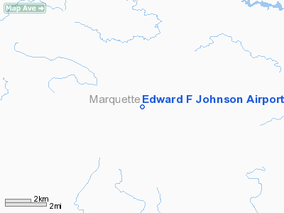
Location & QuickFacts
| FAA Information Effective: | 2008-09-25 |
| Airport Identifier: | M61 |
| Airport Status: | Operational |
| Longitude/Latitude: | 087-47-18.4850W/46-20-42.7870N
-87.788468/46.345219 (Estimated) |
| Elevation: | 1446 ft / 440.74 m (Estimated) |
| Land: | 75 acres |
| From nearest city: | 10 nautical miles S of Ishpeming, MI |
| Location: | Marquette County, MI |
| Magnetic Variation: | 03W (1985) |
Owner & Manager
| Ownership: | Privately owned |
| Owner: | Marilee Koval |
| Address: | 56820 County Road 581
Ishpeming, MI 49849 |
| Phone number: | 906-486-9046 |
| Manager: | Roger Pietro |
| Address: | 880 County Road Prg
Ishpeming, MI 49849 |
| Phone number: | 906-486-9074 |
Airport Operations and Facilities
| Airport Use: | Open to public |
| Wind indicator: | Yes |
| Segmented Circle: | Yes |
| Control Tower: | No |
| Landing fee charge: | No |
| Sectional chart: | Green Bay |
| Region: | AGL - Great Lakes |
| Boundary ARTCC: | ZMP - Minneapolis |
| Tie-in FSS: | GRB - Green Bay |
| FSS on Airport: | No |
| FSS Toll Free: | 1-800-WX-BRIEF |
| NOTAMs Facility: | GRB (NOTAM-d service avaliable) |
Airport Communications
Airport Services
Runway Information
Runway 18/36
| Dimension: | 2200 x 100 ft / 670.6 x 30.5 m |
| Surface: | TURF, Fair Condition |
| |
Runway 18 |
Runway 36 |
| Traffic Pattern: | Left | Left |
| Displaced threshold: | 0.00 ft | 200.00 ft |
| Runway End Identifier: | No | No |
| Centerline Lights: | No | No |
| Touchdown Lights: | No | No |
| Obstruction: | 40 ft tree, 125 ft left of centerline
RWY 18 APCH RATIO 20:1 BASED ON STRAIGHT OUT OVR +28 FT TREES, 560 FT DSTC, L/R. | 35 ft tree, 0.0 ft from runway, 120 ft left of centerline
RWY 36 APCH RATIO 20:1 BASED ON STRAIGHT OUT OVR +27 FT TREES, 540 FT DSTC, L/R. |
|
Radio Navigation Aids
| ID |
Type |
Name |
Ch |
Freq |
Var |
Dist |
| MQT | VOR/DME | Marquette/dcmsnd | 114X | 116.70 | 02W | 13.9 nm |
| SAW | VOR/DME | Sawyer | 118X | 117.10 | 04W | 16.3 nm |
| IMT | VOR/DME | Iron Mountain | 049X | 111.20 | 02W | 34.6 nm |
| ESC | VOR/DME | Escanaba | 045X | 110.80 | 00E | 47.4 nm |
Remarks
- LGTD 419 FT AGL TWR LCTD 6100 FT SOUTH OF ARPT AND 600 FT RIGHT OF EXTNDD CNTRLN RWY 18/36.
- CLSD WINTER MONTH DEC THRU APR & WHEN SNOW COVERED.
- PRVDD CLEAR 20:1 APCHS, CLEAR OBSTL FREE ZONE AND TAKE OFF/LANDING AREA IS MKD.
Images and information placed above are from
http://www.airport-data.com/airport/M61/
We thank them for the data!
| General Info
|
| Country |
United States
|
| State |
MICHIGAN
|
| FAA ID |
M61
|
| Latitude |
46-20-42.787N
|
| Longitude |
087-47-18.485W
|
| Elevation |
1446 feet
|
| Near City |
ISHPEMING
|
We don't guarantee the information is fresh and accurate. The data may
be wrong or outdated.
For more up-to-date information please refer to other sources.
|
|


