 |
|
Location & QuickFacts
| FAA Information Effective: | 2008-09-25 |
| Airport Identifier: | MI28 |
| Airport Status: | Operational |
| Longitude/Latitude: | 084-13-27.9560W/43-35-32.0960N
-84.224432/43.592249 (Estimated) |
| Elevation: | 635 ft / 193.55 m (Estimated) |
| Land: | 0 acres |
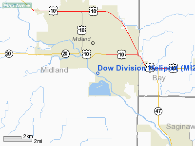
| From nearest city: | 1 nautical miles SE of Midland, MI |
| Location: | Midland County, MI |
| Magnetic Variation: | 05W (1985) |
Owner & Manager
| Ownership: | Privately owned |
| Owner: | Dow Chemical Co |
| Address: | 1100 Bldg
Midland, MI 48667 |
| Phone number: | 517-636-4231 |
| Manager: | Charles E. Carothers |
| Address: | 1100 Bldg
Midland, MI 48667 |
| Phone number: | 517-636-4231 |
Airport Operations and Facilities
| Airport Use: | Private |
| Wind indicator: | Yes |
| Segmented Circle: | No |
| Control Tower: | No |
| Sectional chart: | Detroit |
| Region: | AGL - Great Lakes |
| Boundary ARTCC: | ZOB - Cleveland |
| Tie-in FSS: | LAN - Lansing |
| FSS Toll Free: | 1-800-WX-BRIEF |
Runway Information
Helipad H1
| Dimension: | 40 x 40 ft / 12.2 x 12.2 m |
| Surface: | ASPH, |
| |
Runway H1 |
Runway |
| Traffic Pattern: | Left | Left |
|
Radio Navigation Aids
| ID |
Type |
Name |
Ch |
Freq |
Var |
Dist |
| HYX | NDB | Browne | | 385.00 | 06W | 18.7 nm |
| GDW | NDB | Wiggins | | 209.00 | 04W | 25.2 nm |
| AMN | NDB | Alma | | 329.00 | 05W | 29.3 nm |
| BHW | NDB | Hardwood | | 236.00 | 06W | 39.9 nm |
| MBS | VOR/DME | Saginaw | 076X | 112.90 | 03W | 7.4 nm |
| MOP | VOR/DME | Mount Pleasant | 043X | 110.60 | 05W | 22.4 nm |
| BXZ | VOR/DME | West Branch | 079X | 113.20 | 06W | 39.1 nm |
| HTL | VOR/DME | Houghton Lake | 053X | 111.60 | 05W | 49.9 nm |
| FNT | VORTAC | Flint | 116X | 116.90 | 06W | 43.0 nm |
Remarks
- PRVDD APP/DEP OPNS FM 030-350 DEGS; AREA IS MARKED; WIND INDICATOR IS MAINTAINED.
Images and information placed above are from
http://www.airport-data.com/airport/MI28/
We thank them for the data!
| General Info
|
| Country |
United States
|
| State |
MICHIGAN
|
| FAA ID |
MI28
|
| Latitude |
43-35-32.096N
|
| Longitude |
084-13-27.956W
|
| Elevation |
635 feet
|
| Near City |
MIDLAND
|
We don't guarantee the information is fresh and accurate. The data may
be wrong or outdated.
For more up-to-date information please refer to other sources.
|
|


