 |
|
Location & QuickFacts
| FAA Information Effective: | 2008-09-25 |
| Airport Identifier: | MI18 |
| Airport Status: | Operational |
| Longitude/Latitude: | 083-50-09.8640W/43-05-35.0980N
-83.836073/43.093083 (Estimated) |
| Elevation: | 725 ft / 220.98 m (Estimated) |
| Land: | 0 acres |
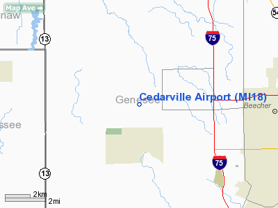
| From nearest city: | 3 nautical miles NE of Flushing, MI |
| Location: | Genesee County, MI |
| Magnetic Variation: | 05W (1985) |
Owner & Manager
| Ownership: | Privately owned |
| Owner: | Jim B. Seder |
| Address: | 8102 W. Coldwater Rd
Flushing, MI 48433 |
| Phone number: | 313-659-5381 |
| Address: |
|
Airport Operations and Facilities
| Airport Use: | Private |
| Segmented Circle: | No |
| Control Tower: | No |
| Landing fee charge: | No |
| Sectional chart: | Detroit |
| Region: | AGL - Great Lakes |
| Boundary ARTCC: | ZOB - Cleveland |
| Tie-in FSS: | LAN - Lansing |
| FSS on Airport: | No |
| FSS Toll Free: | 1-800-WX-BRIEF |
Airport Services
| Airframe Repair: | NONE |
| Power Plant Repair: | NONE |
Runway Information
Runway N/S
| Dimension: | 2500 x 60 ft / 762.0 x 18.3 m |
| Surface: | TURF, |
| |
Runway N |
Runway S |
| Traffic Pattern: | Left | Left |
|
Radio Navigation Aids
| ID |
Type |
Name |
Ch |
Freq |
Var |
Dist |
| HYX | NDB | Browne | | 385.00 | 06W | 20.4 nm |
| OZW | NDB | Howell | | 243.00 | 05W | 28.4 nm |
| AMN | NDB | Alma | | 329.00 | 05W | 43.8 nm |
| MBS | VOR/DME | Saginaw | 076X | 112.90 | 03W | 28.4 nm |
| FNT | VORTAC | Flint | 116X | 116.90 | 06W | 8.5 nm |
| PSI | VORTAC | Pontiac | 047X | 111.00 | 03W | 27.1 nm |
| SVM | VORTAC | Salem | 090X | 114.30 | 03W | 42.5 nm |
| LAN | VORTAC | Lansing | 045X | 110.80 | 05W | 44.1 nm |
| ECK | VORTAC | Peck | 087X | 114.00 | 07W | 50.0 nm |
Remarks
- HOUSE & BARN E SIDE OF SE END OF RWY.
- BOTH THRS DSPLCD TO PROVIDE 20-1 ACPH OVER ROAD & POLE LINES.
Images and information placed above are from
http://www.airport-data.com/airport/MI18/
We thank them for the data!
| General Info
|
| Country |
United States
|
| State |
MICHIGAN
|
| FAA ID |
MI18
|
| Latitude |
43-05-35.098N
|
| Longitude |
083-50-09.864W
|
| Elevation |
725 feet
|
| Near City |
FLUSHING
|
We don't guarantee the information is fresh and accurate. The data may
be wrong or outdated.
For more up-to-date information please refer to other sources.
|
|


