 |
|
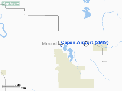
Location & QuickFacts
| FAA Information Effective: | 2008-09-25 |
| Airport Identifier: | 2MI9 |
| Airport Status: | Operational |
| Longitude/Latitude: | 085-19-04.1360W/43-37-27.0950N
-85.317816/43.624193 (Estimated) |
| Elevation: | 1015 ft / 309.37 m (Estimated) |
| Land: | 0 acres |
| From nearest city: | 4 nautical miles W of Mecosta, MI |
| Location: | Mecosta County, MI |
| Magnetic Variation: | 04W (1985) |
Owner & Manager
| Ownership: | Privately owned |
| Owner: | Clayton C. Capen |
| Address: | 11681 11 Mile Rd
Mecosta, MI 49332 |
| Phone number: | 231-972-7285 |
| Address: |
|
Airport Operations and Facilities
| Airport Use: | Private |
| Wind indicator: | Yes |
| Segmented Circle: | No |
| Control Tower: | No |
| Lighting Schedule: | PHONE REQ
FOR RWY LGTS CALL 231-972-7285 |
| Landing fee charge: | No |
| Sectional chart: | Chicago |
| Region: | AGL - Great Lakes |
| Boundary ARTCC: | ZMP - Minneapolis |
| Tie-in FSS: | LAN - Lansing |
| FSS on Airport: | No |
| FSS Toll Free: | 1-800-WX-BRIEF |
| Airframe Repair: | NONE |
| Power Plant Repair: | NONE |
Runway Information
Runway E/W
| Dimension: | 1800 x 100 ft / 548.6 x 30.5 m |
| Surface: | TURF, |
| Edge Lights: | Low |
| |
Runway E |
Runway W |
| Traffic Pattern: | Right | Right |
|
Runway N/S
| Dimension: | 1450 x 100 ft / 442.0 x 30.5 m |
| Surface: | TURF, |
| |
Runway N |
Runway S |
| Traffic Pattern: | Right | Right |
|
Radio Navigation Aids
| ID |
Type |
Name |
Ch |
Freq |
Var |
Dist |
| AMN | NDB | Alma | | 329.00 | 05W | 29.4 nm |
| CAD | NDB | Cadillac | | 269.00 | 04W | 39.3 nm |
| GDW | NDB | Wiggins | | 209.00 | 04W | 42.1 nm |
| HIC | VOR/DME | White Cloud | 123X | 117.60 | 01W | 17.6 nm |
| MOP | VOR/DME | Mount Pleasant | 043X | 110.60 | 05W | 25.3 nm |
| MKG | VORTAC | Muskegon | 099X | 115.20 | 01W | 41.7 nm |
Remarks
- ALL TFC PATTERN OPERATIONS CONDUCTED ON NORTH SIDE OF ARPT.
Images and information placed above are from
http://www.airport-data.com/airport/2MI9/
We thank them for the data!
| General Info
|
| Country |
United States
|
| State |
MICHIGAN
|
| FAA ID |
2MI9
|
| Latitude |
43-37-27.095N
|
| Longitude |
085-19-04.136W
|
| Elevation |
1015 feet
|
| Near City |
MECOSTA
|
We don't guarantee the information is fresh and accurate. The data may
be wrong or outdated.
For more up-to-date information please refer to other sources.
|
|


