 |
|
Location & QuickFacts
| FAA Information Effective: | 2008-09-25 |
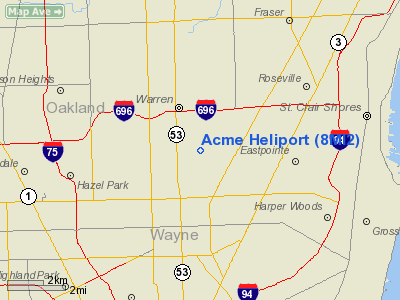
| Airport Identifier: | 8MI2 |
| Airport Status: | Operational |
| Longitude/Latitude: | 083-00-39.7100W/42-28-19.1300N
-83.011031/42.471981 (Estimated) |
| Elevation: | 645 ft / 196.60 m (Estimated) |
| Land: | 0 acres |
| From nearest city: | 1 nautical miles SE of Centerline, MI |
| Location: | Macomb County, MI |
| Magnetic Variation: | 06W (1990) |
Owner & Manager
| Ownership: | Privately owned |
| Owner: | Gary W. Bendik |
| Address: | 6690 Rynn Rd
Clyde, MI 48049 |
| Manager: | Gary W. Bendik |
| Address: | 6690 Rynn Rd
Clyde, MI 48049 |
Airport Operations and Facilities
| Airport Use: | Private
PERSONAL USE. |
| Wind indicator: | Yes |
| Segmented Circle: | No |
| Control Tower: | No |
| Sectional chart: | Detroit |
| Region: | AGL - Great Lakes |
| Boundary ARTCC: | ZOB - Cleveland |
| Tie-in FSS: | LAN - Lansing |
| FSS Toll Free: | 1-800-WX-BRIEF |
Runway Information
Helipad H1
| Dimension: | 30 x 30 ft / 9.1 x 9.1 m |
| Surface: | ASPH, |
| |
Runway H1 |
Runway |
| Traffic Pattern: | Left | Left |
|
Radio Navigation Aids
| ID |
Type |
Name |
Ch |
Freq |
Var |
Dist |
| VQ | NDB | Cargl | | 230.00 | 05W | 7.4 nm |
| QG | NDB | Windsor | | 353.00 | 06W | 11.5 nm |
| G | NDB | Golf | | 398.00 | 05W | 13.8 nm |
| RYS | NDB | Grosse Ile | | 419.00 | 06W | 23.2 nm |
| 4L | NDB | Chatham | | 236.00 | 06W | 42.5 nm |
| PT | NDB | Pelee Island | | 283.00 | 05W | 44.3 nm |
| OZW | NDB | Howell | | 243.00 | 05W | 44.3 nm |
| ZR | NDB | Sarnia | | 404.00 | 06W | 44.4 nm |
| TCU | NDB | Tecumseh | | 239.00 | 04W | 46.7 nm |
| MTC | TACAN | Selfridge | 064X | | 06W | 11.6 nm |
| YQG | VOR/DME | Windsor | 085X | 113.80 | 06W | 15.6 nm |
| DXO | VOR/DME | Detroit | 081X | 113.40 | 06W | 22.2 nm |
| SVM | VORTAC | Salem | 090X | 114.30 | 03W | 26.1 nm |
| PSI | VORTAC | Pontiac | 047X | 111.00 | 03W | 26.9 nm |
| CRL | VORTAC | Carleton | 104X | 115.70 | 03W | 32.3 nm |
| FNT | VORTAC | Flint | 116X | 116.90 | 06W | 44.1 nm |
| ECK | VORTAC | Peck | 087X | 114.00 | 07W | 48.9 nm |
| DET | VOT | Detroit City | | 111.60 | | 4.0 nm |
| DTW | VOT | Detroit Met Wayne | | 109.80 | | 21.5 nm |
| YIP | VOT | Willow Run | | 112.00 | | 26.8 nm |
Remarks
- (E111-1) SECOND STORY STRUCTURE ON NW CORNER OF BLDG IS LGTD DURING NGT USE OF THE HELIPAD; AND COORD WITH DET CITY ATCT WHEN HELIPAD IS UN USE.
- PRVDD ALL APCH/DEP ROUTE OPS ARE FM 030-180 DEG; A WIND INDICATOR IS MAINTAINED; CINDER BLOCK CHIMNEY NW OF HELIPAD ON BLDG IS REMOVED; ALL SURROUNDING TREES THAT MAY BECOME OBSTRUCTIONS ARE REMOVED;
Images and information placed above are from
http://www.airport-data.com/airport/8MI2/
We thank them for the data!
| General Info
|
| Country |
United States
|
| State |
MICHIGAN
|
| FAA ID |
8MI2
|
| Latitude |
42-28-19.130N
|
| Longitude |
083-00-39.710W
|
| Elevation |
645 feet
|
| Near City |
CENTERLINE
|
We don't guarantee the information is fresh and accurate. The data may
be wrong or outdated.
For more up-to-date information please refer to other sources.
|
|


