 |
|
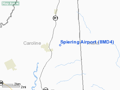
Location & QuickFacts
| FAA Information Effective: | 2008-09-25 |
| Airport Identifier: | 8MD4 |
| Airport Status: | Operational |
| Longitude/Latitude: | 075-46-40.0000W/38-58-50.0000N
-75.777778/38.980556 (Estimated) |
| Elevation: | 55 ft / 16.76 m (Estimated) |
| Land: | 82 acres |
| From nearest city: | 1 nautical miles E of Greensboro, MD |
| Location: | Caroline County, MD |
| Magnetic Variation: | 11W (1995) |
Owner & Manager
| Ownership: | Privately owned |
| Owner: | Glen L Spiering |
| Address: | 26585 Boyce Mill Rd
Greensboro, MD 21639 |
| Phone number: | 410-482-8217 |
| Manager: | Glen L Spiering |
| Address: | 26585 Boyce Mill Rd
Greensboro, MD 21639 |
| Phone number: | 410-482-8217 |
Airport Operations and Facilities
| Airport Use: | Private |
| Wind indicator: | Yes |
| Segmented Circle: | No |
| Control Tower: | No |
| Sectional chart: | Washington |
| Region: | AEA - Eastern |
| Boundary ARTCC: | ZDC - Washington |
| Tie-in FSS: | DCA - Leesburg |
| FSS Toll Free: | 1-800-WX-BRIEF |
Runway Information
Runway 16/34
| Dimension: | 2300 x 50 ft / 701.0 x 15.2 m |
| Surface: | TURF, Good Condition |
| |
Runway 16 |
Runway 34 |
| Traffic Pattern: | Left | Left |
|
Radio Navigation Aids
| ID |
Type |
Name |
Ch |
Freq |
Var |
Dist |
| ESN | NDB | Easton | | 212.00 | 10W | 17.3 nm |
| CGE | NDB | Cambridge | | 355.00 | 10W | 29.1 nm |
| MTN | NDB | Martin | | 342.00 | 11W | 34.0 nm |
| APG | NDB | Aberdeen | | 349.00 | 11W | 36.7 nm |
| RNB | NDB | Rainbow | | 363.00 | 11W | 39.9 nm |
| IUB | NDB | Institute | | 404.00 | 08W | 43.6 nm |
| OX | NDB | Landy | | 407.00 | 12W | 46.0 nm |
| BUH | NDB | Anne Arundel | | 260.00 | 10W | 46.3 nm |
| DOV | TACAN | Dover | 037X | | 09W | 17.1 nm |
| MTN | TACAN | Martin | 068X | | 11W | 36.3 nm |
| ATR | VOR/DME | Waterloo | 073X | 112.60 | 09W | 28.4 nm |
| PPM | VOR/DME | Phillips | 021X | 108.40 | 09W | 34.5 nm |
| ENO | VORTAC | Smyrna | 051X | 111.40 | 09W | 19.4 nm |
| SBY | VORTAC | Salisbury | 049X | 111.20 | 12W | 40.2 nm |
| DQO | VORTAC | Dupont | 087X | 114.00 | 10W | 42.7 nm |
| BAL | VORTAC | Baltimore | 098X | 115.10 | 11W | 42.8 nm |
| OOD | VORTAC | Woodstown | 075X | 112.80 | 10W | 45.2 nm |
| SIE | VORTAC | Sea Isle | 095X | 114.80 | 09W | 46.2 nm |
| OTT | VORTAC | Nottingham | 084X | 113.70 | 10W | 48.2 nm |
Remarks
- PRVDD VFR ONLY, OPERATE TO MINIMIZE NOISE, & CLEAR 20:1 APCH/DEP PATH FOR EACH RY.
Images and information placed above are from
http://www.airport-data.com/airport/8MD4/
We thank them for the data!
| General Info
|
| Country |
United States
|
| State |
MARYLAND
|
| FAA ID |
8MD4
|
| Latitude |
38-58-50.000N
|
| Longitude |
075-46-40.000W
|
| Elevation |
55 feet
|
| Near City |
GREENSBORO
|
We don't guarantee the information is fresh and accurate. The data may
be wrong or outdated.
For more up-to-date information please refer to other sources.
|
|


