 |
|
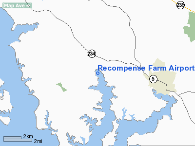
Location & QuickFacts
| FAA Information Effective: | 2008-09-25 |
| Airport Identifier: | 2MD1 |
| Airport Status: | Operational |
| Longitude/Latitude: | 076-43-28.8700W/38-18-30.4500N
-76.724686/38.308458 (Estimated) |
| Elevation: | 30 ft / 9.14 m (Estimated) |
| Land: | 0 acres |
| From nearest city: | 2 nautical miles S of Clements, MD |
| Location: | St Marys County, MD |
| Magnetic Variation: | 10W (1995) |
Owner & Manager
| Ownership: | Privately owned |
| Owner: | Robert Marshall Green |
| Address: | Po Box 1338
Mechanicsville, MD 20659 |
| Phone number: | 301-884-5014 |
| Manager: | Robert Marshall Green |
| Address: | Po Box 1338
Mechanicsville, MD 20659 |
| Phone number: | 301-884-5014 |
Airport Operations and Facilities
| Airport Use: | Private |
| Wind indicator: | Yes |
| Segmented Circle: | No |
| Control Tower: | No |
| Sectional chart: | Washington |
| Region: | AEA - Eastern |
| Boundary ARTCC: | ZDC - Washington |
| Tie-in FSS: | DCA - Leesburg |
| FSS Toll Free: | 1-800-WX-BRIEF |
Runway Information
Runway 09/27
| Dimension: | 1100 x 40 ft / 335.3 x 12.2 m |
| Surface: | TURF, |
| |
Runway 09 |
Runway 27 |
| Traffic Pattern: | Left | Left |
|
Radio Navigation Aids
| ID |
Type |
Name |
Ch |
Freq |
Var |
Dist |
| NHK | NDB | Patuxent | | 400.00 | 10W | 15.2 nm |
| VKX | NDB | Potomac | | 241.00 | 10W | 28.6 nm |
| DC | NDB | Oxonn | | 332.00 | 11W | 31.0 nm |
| APH | NDB | A P Hill | | 396.00 | 10W | 31.3 nm |
| EZF | NDB | Shannon | | 237.00 | 10W | 34.4 nm |
| CGE | NDB | Cambridge | | 355.00 | 10W | 35.4 nm |
| GTN | NDB | Georgetown | | 323.00 | 09W | 41.8 nm |
| ESN | NDB | Easton | | 212.00 | 10W | 42.9 nm |
| BUH | NDB | Anne Arundel | | 260.00 | 10W | 46.6 nm |
| LJK | NDB | Ashey | | 280.00 | 09W | 48.1 nm |
| DCA | VOR/DME | Washington | 047X | 111.00 | 09W | 36.2 nm |
| PXT | VORTAC | Patuxent | 123X | 117.60 | 10W | 15.4 nm |
| OTT | VORTAC | Nottingham | 084X | 113.70 | 10W | 23.9 nm |
| BRV | VORTAC | Brooke | 092X | 114.50 | 09W | 29.7 nm |
| ADW | VORTAC | Andrews | 078X | 113.10 | 10W | 30.7 nm |
| ADW | VOT | Andrews Afb | | 109.60 | | 29.7 nm |
| DCA | VOT | Washington National | | 109.40 | | 35.4 nm |
Remarks
- CLEAR 20:1 APCH/DEP;DALGT/VFR OPNS ONLY; PILOTS NOTIFIED OF RADIO TWRS 3.5 MI NE OF ARPT.
Images and information placed above are from
http://www.airport-data.com/airport/2MD1/
We thank them for the data!
| General Info
|
| Country |
United States
|
| State |
MARYLAND
|
| FAA ID |
2MD1
|
| Latitude |
38-18-30.450N
|
| Longitude |
076-43-28.870W
|
| Elevation |
30 feet
|
| Near City |
CLEMENTS
|
We don't guarantee the information is fresh and accurate. The data may
be wrong or outdated.
For more up-to-date information please refer to other sources.
|
|


