 |
|
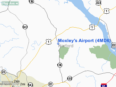
Location & QuickFacts
| FAA Information Effective: | 2008-09-25 |
| Airport Identifier: | 4MD6 |
| Airport Status: | Operational |
| Longitude/Latitude: | 076-15-45.0000W/39-37-30.0000N
-76.262500/39.625000 (Estimated) |
| Elevation: | 410 ft / 124.97 m (Estimated) |
| Land: | 0 acres |
| From nearest city: | 2 nautical miles S of Dublin, MD |
| Location: | Harford County, MD |
| Magnetic Variation: | 11W (1990) |
Owner & Manager
| Ownership: | Privately owned |
| Owner: | Myrtle Moxley & Sons |
| Address: | 1043 Priestford Rd
Street, MD 21154 |
| Phone number: | 301-457-4863 |
| Manager: | Roy Moxley |
| Address: | 1043 Priestford Rd
Street, MD 21154 |
| Phone number: | 301-457-4863 |
Airport Operations and Facilities
| Airport Use: | Private |
| Segmented Circle: | No |
| Control Tower: | No |
| Sectional chart: | Washington |
| Region: | AEA - Eastern |
| Boundary ARTCC: | ZNY - New York |
| Tie-in FSS: | DCA - Leesburg |
| FSS Toll Free: | 1-800-WX-BRIEF |
Runway Information
Runway 15/33
| Dimension: | 1800 x 50 ft / 548.6 x 15.2 m |
| Surface: | TURF, |
| |
Runway 15 |
Runway 33 |
| Traffic Pattern: | Left | Left |
| Obstruction: | 70 ft trees | 40 ft wires |
|
Radio Navigation Aids
| ID |
Type |
Name |
Ch |
Freq |
Var |
Dist |
| APG | NDB | Aberdeen | | 349.00 | 11W | 9.0 nm |
| MTN | NDB | Martin | | 342.00 | 11W | 20.3 nm |
| IUB | NDB | Institute | | 404.00 | 08W | 26.4 nm |
| FND | NDB | Ellicott | | 371.00 | 11W | 31.3 nm |
| EUD | NDB | York | | 254.00 | 11W | 33.5 nm |
| BUH | NDB | Anne Arundel | | 260.00 | 10W | 39.9 nm |
| MTN | TACAN | Martin | 068X | | 11W | 19.0 nm |
| DOV | TACAN | Dover | 037X | | 09W | 47.3 nm |
| PPM | VOR/DME | Phillips | 021X | 108.40 | 09W | 10.4 nm |
| LRP | VORTAC | Lancaster | 120X | 117.30 | 09W | 29.8 nm |
| DQO | VORTAC | Dupont | 087X | 114.00 | 10W | 30.5 nm |
| MXE | VORTAC | Modena | 079X | 113.20 | 09W | 32.5 nm |
| BAL | VORTAC | Baltimore | 098X | 115.10 | 11W | 33.0 nm |
| EMI | VORTAC | Westminster | 126X | 117.90 | 08W | 34.1 nm |
| ENO | VORTAC | Smyrna | 051X | 111.40 | 09W | 42.0 nm |
| OOD | VORTAC | Woodstown | 075X | 112.80 | 10W | 44.4 nm |
| PTW | VORTAC | Pottstown | 112X | 116.50 | 09W | 48.3 nm |
| MDT | VOT | Harrisburg International | | 110.00 | | 41.4 nm |
| PHL | VOT | Philadelphia Intl | | 109.80 | | 49.3 nm |
Remarks
- SEE AIRSPACE LTR DATED 09/11/91.
Images and information placed above are from
http://www.airport-data.com/airport/4MD6/
We thank them for the data!
| General Info
|
| Country |
United States
|
| State |
MARYLAND
|
| FAA ID |
4MD6
|
| Latitude |
39-37-30.000N
|
| Longitude |
076-15-45.000W
|
| Elevation |
410 feet
|
| Near City |
DUBLIN
|
We don't guarantee the information is fresh and accurate. The data may
be wrong or outdated.
For more up-to-date information please refer to other sources.
|
|


