 |
|
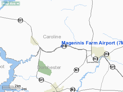
Location & QuickFacts
| FAA Information Effective: | 2008-09-25 |
| Airport Identifier: | 7MD1 |
| Airport Status: | Operational |
| Longitude/Latitude: | 075-51-03.7640W/38-42-12.4130N
-75.851046/38.703448 (Estimated) |
| Elevation: | 40 ft / 12.19 m (Estimated) |
| Land: | 0 acres |
| From nearest city: | 3 nautical miles SE of Federalsburg, MD |
| Location: | Caroline County, MD |
| Magnetic Variation: | 11W (1995) |
Owner & Manager
| Ownership: | Privately owned |
| Owner: | C Magennis |
| Address: | 4720 Preston Rd
Federalsburg, MD 21632 |
| Phone number: | 410-754-9417 |
| Manager: | C Magennis |
| Address: | 4720 Preston Rd
Fereralsburg, MD 21632 |
| Phone number: | 410-754-9417 |
Airport Operations and Facilities
| Airport Use: | Private |
| Wind indicator: | Yes |
| Segmented Circle: | No |
| Control Tower: | No |
| Sectional chart: | Washington |
| Region: | AEA - Eastern |
| Boundary ARTCC: | ZDC - Washington |
| Tie-in FSS: | DCA - Leesburg |
| FSS on Airport: | No |
| FSS Toll Free: | 1-800-WX-BRIEF |
Runway Information
Runway 09/27
| Dimension: | 2500 x 50 ft / 762.0 x 15.2 m |
| Surface: | TURF, |
| |
Runway 09 |
Runway 27 |
| Traffic Pattern: | Left | Left |
|
Radio Navigation Aids
| ID |
Type |
Name |
Ch |
Freq |
Var |
Dist |
| ESN | NDB | Easton | | 212.00 | 10W | 11.9 nm |
| CGE | NDB | Cambridge | | 355.00 | 10W | 13.1 nm |
| NHK | NDB | Patuxent | | 400.00 | 10W | 36.1 nm |
| OX | NDB | Landy | | 407.00 | 12W | 36.9 nm |
| MTN | NDB | Martin | | 342.00 | 11W | 43.5 nm |
| BUH | NDB | Anne Arundel | | 260.00 | 10W | 48.3 nm |
| DOV | TACAN | Dover | 037X | | 09W | 31.4 nm |
| MTN | TACAN | Martin | 068X | | 11W | 45.9 nm |
| ATR | VOR/DME | Waterloo | 073X | 112.60 | 09W | 30.7 nm |
| PPM | VOR/DME | Phillips | 021X | 108.40 | 09W | 48.2 nm |
| SBY | VORTAC | Salisbury | 049X | 111.20 | 12W | 26.8 nm |
| ENO | VORTAC | Smyrna | 051X | 111.40 | 09W | 35.4 nm |
| PXT | VORTAC | Patuxent | 123X | 117.60 | 10W | 35.9 nm |
| OTT | VORTAC | Nottingham | 084X | 113.70 | 10W | 41.9 nm |
| SWL | VORTAC | Snow Hill | 071X | 112.40 | 08W | 42.9 nm |
| BAL | VORTAC | Baltimore | 098X | 115.10 | 11W | 47.2 nm |
| ADW | VORTAC | Andrews | 078X | 113.10 | 10W | 48.0 nm |
| ADW | VOT | Andrews Afb | | 109.60 | | 48.5 nm |
Remarks
- PRVDD VFR; NO IFR OPNS; A 20:1 CLNC OFF EACH END OF RY & OWNER OPERATES I NA MANNER TO MIN NOISE.
Images and information placed above are from
http://www.airport-data.com/airport/7MD1/
We thank them for the data!
| General Info
|
| Country |
United States
|
| State |
MARYLAND
|
| FAA ID |
7MD1
|
| Latitude |
38-42-12.413N
|
| Longitude |
075-51-03.764W
|
| Elevation |
40 feet
|
| Near City |
FEDERALSBURG
|
We don't guarantee the information is fresh and accurate. The data may
be wrong or outdated.
For more up-to-date information please refer to other sources.
|
|


