 |
|
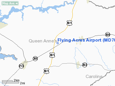
Location & QuickFacts
| FAA Information Effective: | 2008-09-25 |
| Airport Identifier: | MD70 |
| Airport Status: | Operational |
| Longitude/Latitude: | 075-54-31.7790W/39-10-52.3980N
-75.908828/39.181222 (Estimated) |
| Elevation: | 70 ft / 21.34 m (Estimated) |
| Land: | 0 acres |
| From nearest city: | 2 nautical miles W of Sudlersville, MD |
| Location: | Queen Annes County, MD |
| Magnetic Variation: | 10W (1985) |
Owner & Manager
| Ownership: | Privately owned |
| Owner: | Cosmo S. Bastianelli |
| Address: | 140 Flying Acres Lane
Sudlersville, MD 21668 |
| Phone number: | 301-438-3442 |
| Address: |
|
Airport Operations and Facilities
| Airport Use: | Private |
| Wind indicator: | Yes |
| Segmented Circle: | No |
| Control Tower: | No |
| Landing fee charge: | No |
| Sectional chart: | Washington |
| Region: | AEA - Eastern |
| Boundary ARTCC: | ZDC - Washington |
| Tie-in FSS: | DCA - Leesburg |
| FSS on Airport: | No |
| FSS Toll Free: | 1-800-WX-BRIEF |
Airport Services
| Airframe Repair: | NONE |
| Power Plant Repair: | NONE |
>
Runway Information
Runway 15/33
| Dimension: | 2200 x 75 ft / 670.6 x 22.9 m |
| Surface: | TURF, |
| |
Runway 15 |
Runway 33 |
| Traffic Pattern: | Left | Left |
|
Radio Navigation Aids
| ID |
Type |
Name |
Ch |
Freq |
Var |
Dist |
| MTN | NDB | Martin | | 342.00 | 11W | 23.1 nm |
| APG | NDB | Aberdeen | | 349.00 | 11W | 23.2 nm |
| ESN | NDB | Easton | | 212.00 | 10W | 23.8 nm |
| IUB | NDB | Institute | | 404.00 | 08W | 34.0 nm |
| RNB | NDB | Rainbow | | 363.00 | 11W | 38.7 nm |
| CGE | NDB | Cambridge | | 355.00 | 10W | 39.1 nm |
| BUH | NDB | Anne Arundel | | 260.00 | 10W | 40.1 nm |
| FND | NDB | Ellicott | | 371.00 | 11W | 40.9 nm |
| DOV | TACAN | Dover | 037X | | 09W | 20.8 nm |
| MTN | TACAN | Martin | 068X | | 11W | 25.1 nm |
| PPM | VOR/DME | Phillips | 021X | 108.40 | 09W | 21.0 nm |
| ATR | VOR/DME | Waterloo | 073X | 112.60 | 09W | 39.5 nm |
| ENO | VORTAC | Smyrna | 051X | 111.40 | 09W | 18.5 nm |
| DQO | VORTAC | Dupont | 087X | 114.00 | 10W | 33.0 nm |
| BAL | VORTAC | Baltimore | 098X | 115.10 | 11W | 35.1 nm |
| OOD | VORTAC | Woodstown | 075X | 112.80 | 10W | 39.2 nm |
| MXE | VORTAC | Modena | 079X | 113.20 | 09W | 45.6 nm |
| OTT | VORTAC | Nottingham | 084X | 113.70 | 10W | 48.4 nm |
| VCN | VORTAC | Cedar Lake | 099X | 115.20 | 10W | 48.7 nm |
Images and information placed above are from
http://www.airport-data.com/airport/MD70/
We thank them for the data!
| General Info
|
| Country |
United States
|
| State |
MARYLAND
|
| FAA ID |
MD70
|
| Latitude |
39-10-52.398N
|
| Longitude |
075-54-31.779W
|
| Elevation |
70 feet
|
| Near City |
SUDLERSVILLE
|
We don't guarantee the information is fresh and accurate. The data may
be wrong or outdated.
For more up-to-date information please refer to other sources.
|
|


