 |
|
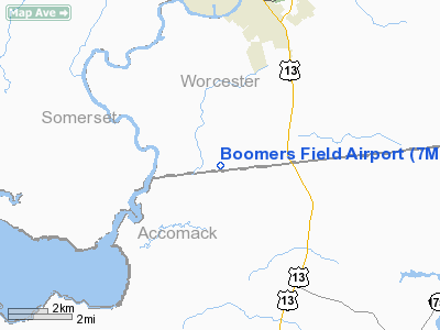
Location & QuickFacts
| FAA Information Effective: | 2008-09-25 |
| Airport Identifier: | 7MD7 |
| Airport Status: | Operational |
| Longitude/Latitude: | 075-34-58.7300W/38-00-01.4400N
-75.582981/38.000400 (Estimated) |
| Elevation: | 22 ft / 6.71 m (Estimated) |
| Land: | 160 acres |
| From nearest city: | 4 nautical miles SW of Pocomoke, MD |
| Location: | Worcester County, MD |
| Magnetic Variation: | 11W (1995) |
Owner & Manager
| Ownership: | Privately owned |
| Owner: | Dean & Debbie Guy |
| Address: | 1621 Colona Rd
Pocomoke, MD 21851 |
| Phone number: | 410-957-2816 |
| Manager: | Dean & Debbie Guy |
| Address: | 1621 Colona Rd
Pocomoke, MD 21851 |
| Phone number: | 410-957-2816 |
Airport Operations and Facilities
| Airport Use: | Private |
| Wind indicator: | Yes |
| Segmented Circle: | No |
| Control Tower: | No |
| Sectional chart: | Washington |
| Region: | AEA - Eastern |
| Boundary ARTCC: | ZDC - Washington |
| Tie-in FSS: | DCA - Leesburg |
| FSS Toll Free: | 1-800-WX-BRIEF |
Runway Information
Runway 04/22
| Dimension: | 2000 x 75 ft / 609.6 x 22.9 m |
| Surface: | TURF, |
| |
Runway 04 |
Runway 22 |
| Traffic Pattern: | Left | Left |
| Obstruction: | 22 ft brush, 500.0 ft from runway | 45 ft trees, 1500.0 ft from runway |
|
Runway 13/31
| Dimension: | 2600 x 100 ft / 792.5 x 30.5 m |
| Surface: | TURF, |
| |
Runway 13 |
Runway 31 |
| Traffic Pattern: | Left | Left |
| Obstruction: | 45 ft trees, 1400.0 ft from runway | 60 ft pline, 50.0 ft from runway |
|
Radio Navigation Aids
| ID |
Type |
Name |
Ch |
Freq |
Var |
Dist |
| BDB | NDB | Accomack | | 336.00 | 11W | 27.8 nm |
| OX | NDB | Landy | | 407.00 | 12W | 28.4 nm |
| CGE | NDB | Cambridge | | 355.00 | 10W | 38.6 nm |
| NHK | NDB | Patuxent | | 400.00 | 10W | 42.4 nm |
| SWL | VORTAC | Snow Hill | 071X | 112.40 | 08W | 6.6 nm |
| SBY | VORTAC | Salisbury | 049X | 111.20 | 12W | 21.0 nm |
| PXT | VORTAC | Patuxent | 123X | 117.60 | 10W | 42.3 nm |
| CCV | VORTAC | Cape Charles | 059X | 112.20 | 10W | 43.9 nm |
Remarks
- VFR/DAY OPNS ONLY; 7:1 APCH SLOPE; COORDINATE TFC PATTERN WITH 2 PRIVATE USE ARPTS IN VICINITY; PILOTS BE MADE AWARE OF NASA WALLOPS ARPT AIRSPACE.
Images and information placed above are from
http://www.airport-data.com/airport/7MD7/
We thank them for the data!
| General Info
|
| Country |
United States
|
| State |
MARYLAND
|
| FAA ID |
7MD7
|
| Latitude |
38-00-01.440N
|
| Longitude |
075-34-58.730W
|
| Elevation |
22 feet
|
| Near City |
POCOMOKE
|
We don't guarantee the information is fresh and accurate. The data may
be wrong or outdated.
For more up-to-date information please refer to other sources.
|
|


