 |
|
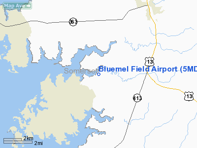
h2>Location & QuickFacts
| FAA Information Effective: | 2008-09-25 |
| Airport Identifier: | 5MD7 |
| Airport Status: | Operational |
| Longitude/Latitude: | 075-45-47.0000W/38-08-01.0000N
-75.763056/38.133611 (Estimated) |
| Elevation: | 3 ft / 0.91 m (Estimated) |
| Land: | 110 acres |
| From nearest city: | 5 nautical miles SW of Princess Anne, MD |
| Location: | Somerset County, MD |
| Magnetic Variation: | 11W (1990) |
Owner & Manager
| Ownership: | Privately owned |
| Owner: | Kurt & Hannah Bluemel |
| Address: | 9042 Fontaine Road
Manokin, MD 21836 |
| Phone number: | 410-651-5077 |
| Manager: | Kurt & Hannah Bluemel |
| Address: | 9042 Fontaine Road
Manokin, MD 21836 |
| Phone number: | 410-651-5077 |
Airport Operations and Facilities
| Airport Use: | Private |
| Wind indicator: | Yes |
| Segmented Circle: | No |
| Control Tower: | No |
| Sectional chart: | Washington |
| Region: | AEA - Eastern |
| Boundary ARTCC: | ZDC - Washington |
| Tie-in FSS: | DCA - Leesburg |
| FSS on Airport: | No |
| FSS Toll Free: | 1-800-WX-BRIEF |
Runway Information
Runway 16/34
| Dimension: | 2200 x 50 ft / 670.6 x 15.2 m |
| Surface: | TURF, |
| |
Runway 16 |
Runway 34 |
| Traffic Pattern: | Left | Left |
|
Radio Navigation Aids
| ID |
Type |
Name |
Ch |
Freq |
Var |
Dist |
| CGE | NDB | Cambridge | | 355.00 | 10W | 27.4 nm |
| OX | NDB | Landy | | 407.00 | 12W | 30.0 nm |
| NHK | NDB | Patuxent | | 400.00 | 10W | 31.6 nm |
| BDB | NDB | Accomack | | 336.00 | 11W | 33.9 nm |
| ESN | NDB | Easton | | 212.00 | 10W | 42.8 nm |
| ATR | VOR/DME | Waterloo | 073X | 112.60 | 09W | 48.2 nm |
| SWL | VORTAC | Snow Hill | 071X | 112.40 | 08W | 14.9 nm |
| SBY | VORTAC | Salisbury | 049X | 111.20 | 12W | 17.4 nm |
| PXT | VORTAC | Patuxent | 123X | 117.60 | 10W | 31.5 nm |
| CCV | VORTAC | Cape Charles | 059X | 112.20 | 10W | 48.5 nm |
Remarks
- PRVDD ARPT USED DALGT ONLY & NO IFR OPNS ARE CONDUCTED; POWERLINES AROUND ARPT ARE BURIED; & OWNER RCVS BRFNG FROM ATC AT PATUXENT NAS ON SPECIAL USE AIRSPACE.
Images and information placed above are from
http://www.airport-data.com/airport/5MD7/
We thank them for the data!
| General Info
|
| Country |
United States
|
| State |
MARYLAND
|
| FAA ID |
5MD7
|
| Latitude |
38-08-01.000N
|
| Longitude |
075-45-47.000W
|
| Elevation |
3 feet
|
| Near City |
PRINCESS ANNE
|
We don't guarantee the information is fresh and accurate. The data may
be wrong or outdated.
For more up-to-date information please refer to other sources.
|
|


