 |
|
Location & QuickFacts
| FAA Information Effective: | 2008-09-25 |
| Airport Identifier: | 05B |
| Airport Status: | Operational |
| Longitude/Latitude: | 067-55-55.0860W/47-09-32.1550N
-67.931968/47.158932 (Estimated) |
| Elevation: | 440 ft / 134.11 m (Estimated) |
| Land: | 0 acres |
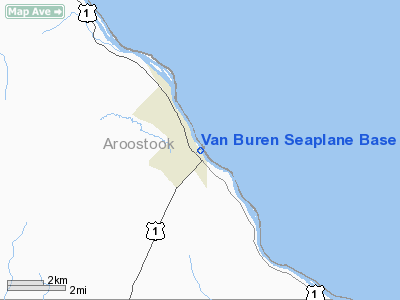
| From nearest city: | 0 nautical miles N of Van Buren, ME |
| Location: | Aroostook County, ME |
| Magnetic Variation: | 21W (1985) |
Owner & Manager
| Ownership: | Publicly owned |
| Owner: | Town Of Van Buren |
| Address: | 51 Main Street Suite 101
Van Buren, ME 04785 |
| Phone number: | 207-868-2886 |
| Manager: | Larry Cote |
| Address: | 51 Main Street Suite 101, 65 Main St
Van Buren, ME 04785 |
| Phone number: | 207-868-2886
ALT PHONE: VAN BUREN POLICE DEPT. 207-868-3481. |
Airport Operations and Facilities
| Airport Use: | Open to public |
| Wind indicator: | Yes |
| Segmented Circle: | No |
| Control Tower: | No |
| Landing fee charge: | No |
| Sectional chart: | Halifax |
| Region: | ANE - New England |
| Boundary ARTCC: | ZBW - Boston |
| Tie-in FSS: | BGR - Bangor |
| FSS on Airport: | No |
| FSS Toll Free: | 1-800-WX-BRIEF |
| NOTAMs Facility: | BGR (NOTAM-d service avaliable) |
Airport Communications
Runway Information
Runway NW/SE
| Dimension: | 4000 x 200 ft / 1219.2 x 61.0 m |
| Surface: | WATER, |
| |
Runway NW |
Runway SE |
| Traffic Pattern: | Left | Left |
| Obstruction: | , 50:1 slope to clear | 66 ft bridge, 1320.0 ft from runway, 20:1 slope to clear |
|
Radio Navigation Aids
| ID |
Type |
Name |
Ch |
Freq |
Var |
Dist |
| YSL | NDB | St Leonard | | 404.00 | 22W | 3.9 nm |
| FVE | NDB | Frenchville | | 257.00 | 20W | 14.8 nm |
| LIF | NDB | Limestone | | 220.00 | 19W | 19.4 nm |
| PQI | VOR/DME | Presque Isle | 111X | 116.40 | 21W | 24.1 nm |
Remarks
- CLSD OCT 15 - MAY 15 YEARLY.
- DOCK LOCATED NEAR BASE OF BRIDGE.
- U.S. CUSTOMS AVAILABLE 24 HRS. 207-868-2202.
- VFR USE.
Images and information placed above are from
http://www.airport-data.com/airport/05B/
We thank them for the data!
| General Info
|
| Country |
United States
|
| State |
MAINE
|
| FAA ID |
05B
|
| Latitude |
47-09-32.155N
|
| Longitude |
067-55-55.086W
|
| Elevation |
440 feet
|
| Near City |
VAN BUREN
|
We don't guarantee the information is fresh and accurate. The data may
be wrong or outdated.
For more up-to-date information please refer to other sources.
|
|


