 |
|
Location & QuickFacts
| FAA Information Effective: | 2008-09-25 |
| Airport Identifier: | 85B |
| Airport Status: | Operational |
| Longitude/Latitude: | 068-33-43.1340W/46-06-15.1720N
-68.561982/46.104214 (Estimated) |
| Elevation: | 780 ft / 237.74 m (Estimated) |
| Land: | 0 acres |
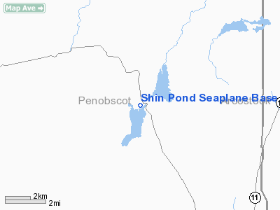
| From nearest city: | 8 nautical miles NW of Patten, ME |
| Location: | Penobscot County, ME |
| Magnetic Variation: | 20W (1985) |
Owner & Manager
| Ownership: | Privately owned |
| Owner: | Scotty's Flying Serv. Inc. |
| Address: | Shin Pond
Mt. Chase, ME 04765 |
| Phone number: | 207-528-2626 |
| Manager: | Scotty Skinner |
| Address: | Shin Pond
Mt. Chase, ME 04765 |
| Phone number: | 207-528-2626 |
Airport Operations and Facilities
| Airport Use: | Open to public |
| Wind indicator: | No |
| Segmented Circle: | No |
| Control Tower: | No |
| Landing fee charge: | No |
| Sectional chart: | Halifax |
| Region: | ANE - New England |
| Boundary ARTCC: | ZBW - Boston |
| Tie-in FSS: | BGR - Bangor |
| FSS on Airport: | No |
| FSS Toll Free: | 1-800-WX-BRIEF |
| NOTAMs Facility: | BGR (NOTAM-d service avaliable) |
Airport Communications
Airport Services
| Fuel available: | 100LL |
| Airframe Repair: | NONE |
| Power Plant Repair: | NONE |
Runway Information
Runway 02/20
| Dimension: | 6000 x 200 ft / 1828.8 x 61.0 m |
| Surface: | WATER, |
| |
Runway 02 |
Runway 20 |
| Traffic Pattern: | Left | Left |
|
Radio Navigation Aids
| ID |
Type |
Name |
Ch |
Freq |
Var |
Dist |
| LNT | NDB | Milnot | | 344.00 | 19W | 27.4 nm |
| LRG | NDB | Lincoln | | 216.00 | 19W | 45.0 nm |
| HUL | VOR/DME | Houlton | 108X | 116.10 | 21W | 30.6 nm |
| MLT | VOR/DME | Millinocket | 126X | 117.90 | 20W | 31.2 nm |
| PQI | VOR/DME | Presque Isle | 111X | 116.40 | 21W | 44.7 nm |
Remarks
- BRIDGE & WIRES BY TIE-UP AREA.
- NUMEROUS BOATS AND CANOES ON LAKE.
- EXISTED PRIOR TO 1959.
Images and information placed above are from
http://www.airport-data.com/airport/85B/
We thank them for the data!
| General Info
|
| Country |
United States
|
| State |
MAINE
|
| FAA ID |
85B
|
| Latitude |
46-06-15.172N
|
| Longitude |
068-33-43.134W
|
| Elevation |
780 feet
|
| Near City |
PATTEN
|
We don't guarantee the information is fresh and accurate. The data may
be wrong or outdated.
For more up-to-date information please refer to other sources.
|
|


