 |
|
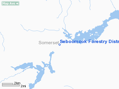
Seboomook Forestry District Headquarters Heliport |
Location & QuickFacts
| FAA Information Effective: | 2008-09-25 |
| Airport Identifier: | ME72 |
| Airport Status: | Operational |
| Longitude/Latitude: | 069-58-58.2360W/45-53-00.1350N
-69.982843/45.883371 (Estimated) |
| Elevation: | 1081 ft / 329.49 m (Estimated) |
| Land: | 0 acres |
| From nearest city: | 0 nautical miles N of Pittston Farm, ME |
| Location: | Somerset County, ME |
| Magnetic Variation: | 19W (1985) |
Owner & Manager
| Ownership: | Publicly owned |
| Owner: | Bur. Forestry Conserv Dept |
| Address: |
|
| Manager: | Otis B. Gray |
| Address: | Me Forestry Dept
Greenville, ME 04441 |
| Phone number: | 207-695-2281
OR 207-695-3721 |
Airport Operations and Facilities
| Airport Use: | Private |
| Wind indicator: | No |
| Segmented Circle: | No |
| Control Tower: | No |
| Landing fee charge: | No |
| Sectional chart: | Montreal |
| Region: | ANE - New England |
| Boundary ARTCC: | ZBW - Boston |
| Tie-in FSS: | BGR - Bangor |
| FSS on Airport: | No |
| FSS Toll Free: | 1-800-WX-BRIEF |
Airport Services
| Airframe Repair: | NONE |
| Power Plant Repair: | NONE |
Runway Information
Helipad H1
| Dimension: | 75 x 75 ft / 22.9 x 22.9 m |
| Surface: | TURF, |
| |
Runway H1 |
Runway |
| Traffic Pattern: | Left | Left |
|
Radio Navigation Aids
| ID |
Type |
Name |
Ch |
Freq |
Var |
Dist |
| XQA | NDB | Squaw | | 236.00 | 18W | 25.3 nm |
| VLV | VOR/DME | Beauce | 119X | 117.20 | 18W | 36.2 nm |
Remarks
Images and information placed above are from
http://www.airport-data.com/airport/ME72/
We thank them for the data!
| General Info
|
| Country |
United States
|
| State |
MAINE
|
| FAA ID |
ME72
|
| Latitude |
45-53-00.135N
|
| Longitude |
069-58-58.236W
|
| Elevation |
1081 feet
|
| Near City |
PITTSTON FARM
|
We don't guarantee the information is fresh and accurate. The data may
be wrong or outdated.
For more up-to-date information please refer to other sources.
|
|


