 |
|
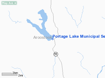
Portage Lake Municipal Seaplane Base |
Location & QuickFacts
| FAA Information Effective: | 2008-09-25 |
| Airport Identifier: | 87B |
| Airport Status: | Operational |
| Longitude/Latitude: | 068-28-51.0000W/46-45-37.0000N
-68.480833/46.760278 (Estimated) |
| Elevation: | 608 ft / 185.32 m (Surveyed) |
| Land: | 0 acres |
| From nearest city: | 1 nautical miles W of Portage Lake, ME |
| Location: | Aroostook County, ME |
| Magnetic Variation: | 20W (1985) |
Owner & Manager
| Ownership: | Publicly owned |
| Owner: | Town Of Portage Lake |
| Address: | P.o. Box 255
Portage Lake, ME 04768 |
| Phone number: | 207-435-4361 |
| Manager: | Rita Sinclair
TOWN MANAGER. |
| Address: | P.o. Box 255
Portage Lake, ME 04768 |
| Phone number: | 207-435-4361 |
Airport Operations and Facilities
| Airport Use: | Open to public |
| Wind indicator: | No |
| Segmented Circle: | No |
| Control Tower: | No |
| Landing fee charge: | No |
| Sectional chart: | Halifax |
| Region: | ANE - New England |
| Boundary ARTCC: | ZBW - Boston |
| Tie-in FSS: | BGR - Bangor |
| FSS on Airport: | No |
| FSS Toll Free: | 1-800-WX-BRIEF |
| NOTAMs Facility: | BGR (NOTAM-d service avaliable) |
| Federal Agreements: | 1 |
Airport Communications
Airport Services
| Bottled Oxygen: | NONE |
| Bulk Oxygen: | NONE |
Runway Information
Runway 02/20
| Dimension: | 5000 x 500 ft / 1524.0 x 152.4 m |
| Surface: | WATER, |
| |
Runway 02 |
Runway 20 |
| Traffic Pattern: | Left | Left |
| Markings: | None, | None, |
|
Runway 15/33
| Dimension: | 5000 x 500 ft / 1524.0 x 152.4 m |
| Surface: | WATER, |
| |
Runway 15 |
Runway 33 |
| Traffic Pattern: | Left | Left |
| Markings: | None, | None, |
|
Radio Navigation Aids
| ID |
Type |
Name |
Ch |
Freq |
Var |
Dist |
| LIF | NDB | Limestone | | 220.00 | 19W | 26.5 nm |
| FVE | NDB | Frenchville | | 257.00 | 20W | 31.9 nm |
| YSL | NDB | St Leonard | | 404.00 | 22W | 36.8 nm |
| PQI | VOR/DME | Presque Isle | 111X | 116.40 | 21W | 15.9 nm |
Remarks
- SUMMER WATER DEPTH IS 1- 1 1/2 FT AT THE END AND SOUTH SIDE DOCKING FACILITY.
- EXISTED PRIOR TO 1959.
Images and information placed above are from
http://www.airport-data.com/airport/87B/
We thank them for the data!
| General Info
|
| Country |
United States
|
| State |
MAINE
|
| FAA ID |
87B
|
| Latitude |
46-45-37.000N
|
| Longitude |
068-28-51.000W
|
| Elevation |
608 feet
|
| Near City |
PORTAGE LAKE
|
We don't guarantee the information is fresh and accurate. The data may
be wrong or outdated.
For more up-to-date information please refer to other sources.
|
|


