 |
|
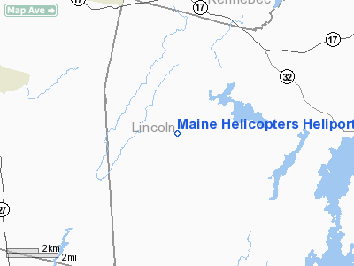
Maine Helicopters Heliport |
Location & QuickFacts
| FAA Information Effective: | 2008-09-25 |
| Airport Identifier: | ME59 |
| Airport Status: | Operational |
| Longitude/Latitude: | 069-36-27.1600W/44-12-11.2600N
-69.607544/44.203128 (Estimated) |
| Elevation: | 150 ft / 45.72 m (Estimated) |
| Land: | 0 acres |
| From nearest city: | 1 nautical miles SW of North Whitefield, ME |
| Location: | Lincoln County, ME |
| Magnetic Variation: | 18W (1995) |
Owner & Manager
| Ownership: | Privately owned |
| Owner: | Maine Helicopers, Inc. |
| Address: | P.o. Box 110-rt. 218
Whitefield, ME 04353 |
| Phone number: | 207-549-3400 |
| Manager: | Andrew Berry |
| Address: | P.o. Box 110 River Rd.
Whitefield, ME 04359 |
| Phone number: | 207-549-3400 |
Airport Operations and Facilities
| Airport Use: | Private |
| Segmented Circle: | No |
| Control Tower: | No |
| Sectional chart: | Halifax |
| Region: | ANE - New England |
| Boundary ARTCC: | ZBW - Boston |
| Tie-in FSS: | BGR - Bangor |
| FSS Toll Free: | 1-800-WX-BRIEF |
Runway Information
Helipad H1
| Dimension: | 100 x 100 ft / 30.5 x 30.5 m |
| Surface: | GRVL, |
| |
Runway H1 |
Runway |
| Traffic Pattern: | Left | Left |
|
Radio Navigation Aids
| ID |
Type |
Name |
Ch |
Freq |
Var |
Dist |
| PH | MARINE NDB | Portland Lhb-p | | 301.00 | 17W | 45.7 nm |
| ISS | NDB | Wiscasset | | 407.00 | 18W | 13.3 nm |
| RL | NDB | Bracy | | 399.00 | 18W | 16.4 nm |
| SUH | NDB | Sprucehead | | 356.00 | 18W | 23.6 nm |
| BST | NDB | Belfast | | 278.00 | 18W | 28.6 nm |
| BUP | NDB | Burnham | | 348.00 | 18W | 31.6 nm |
| NHZ | TACAN | Brunswick | 099X | | 17W | 24.0 nm |
| AUG | VOR/DME | Augusta | 051X | 111.40 | 18W | 10.8 nm |
| BGR | VORTAC | Bangor | 095X | 114.80 | 19W | 49.6 nm |
| PWM | VOT | Portland Intl Jetport | | 111.00 | | 45.6 nm |
| BGR | VOT | Bangor | | 111.00 | | 49.8 nm |
Remarks
Images and information placed above are from
http://www.airport-data.com/airport/ME59/
We thank them for the data!
| General Info
|
| Country |
United States
|
| State |
MAINE
|
| FAA ID |
ME59
|
| Latitude |
44-12-11.260N
|
| Longitude |
069-36-27.160W
|
| Elevation |
150 feet
|
| Near City |
NORTH WHITEFIELD
|
We don't guarantee the information is fresh and accurate. The data may
be wrong or outdated.
For more up-to-date information please refer to other sources.
|
|


