 |
|
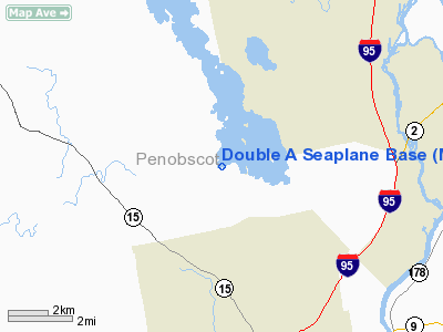
Location & QuickFacts
| FAA Information Effective: | 2008-09-25 |
| Airport Identifier: | ME27 |
| Airport Status: | Operational |
| Longitude/Latitude: | 068-48-08.1300W/44-54-03.2480N
-68.802258/44.900902 (Estimated) |
| Elevation: | 115 ft / 35.05 m (Estimated) |
| Land: | 0 acres |
| From nearest city: | 0 nautical miles of Glenburn, ME |
| Location: | Penobscot County, ME |
| Magnetic Variation: | 19W (1985) |
Owner & Manager
| Ownership: | Privately owned |
| Owner: | Frank E Andrews |
| Address: | 149 Aa Landing Rd.
Glenburn, ME 04401 |
| Phone number: | 207-942-3684 |
| Address: |
|
Airport Operations and Facilities
| Airport Use: | Private |
| Wind indicator: | No |
| Segmented Circle: | No |
| Control Tower: | No |
| Landing fee charge: | No |
| Sectional chart: | Halifax |
| Region: | ANE - New England |
| Boundary ARTCC: | ZBW - Boston |
| Tie-in FSS: | BGR - Bangor |
| FSS on Airport: | No |
| FSS Toll Free: | 1-800-WX-BRIEF |
Airport Services
| Airframe Repair: | NONE |
| Power Plant Repair: | NONE |
Runway Information
Runway 09/27
| Dimension: | 5000 x 200 ft / 1524.0 x 61.0 m |
| Surface: | WATER, |
| |
Runway 09 |
Runway 27 |
| Traffic Pattern: | Left | Left |
|
Runway 17/35
| Dimension: | 10000 x 200 ft / 3048.0 x 61.0 m |
| Surface: | WATER, |
| |
Runway 17 |
Runway 35 |
| Traffic Pattern: | Left | Left |
|
Radio Navigation Aids
| ID |
Type |
Name |
Ch |
Freq |
Var |
Dist |
| OLD | NDB | Old Town | | 272.00 | 20W | 9.6 nm |
| BUP | NDB | Burnham | | 348.00 | 18W | 26.7 nm |
| LRG | NDB | Lincoln | | 216.00 | 19W | 29.6 nm |
| BH | NDB | Surry | | 330.00 | 19W | 30.4 nm |
| BST | NDB | Belfast | | 278.00 | 18W | 30.8 nm |
| LNT | NDB | Milnot | | 344.00 | 19W | 46.2 nm |
| RL | NDB | Bracy | | 399.00 | 18W | 47.9 nm |
| MLT | VOR/DME | Millinocket | 126X | 117.90 | 20W | 43.0 nm |
| BGR | VORTAC | Bangor | 095X | 114.80 | 19W | 4.7 nm |
| BGR | VOT | Bangor | | 111.00 | | 5.8 nm |
Remarks
Images and information placed above are from
http://www.airport-data.com/airport/ME27/
We thank them for the data!
| General Info
|
| Country |
United States
|
| State |
MAINE
|
| FAA ID |
ME27
|
| Latitude |
44-54-03.248N
|
| Longitude |
068-48-08.130W
|
| Elevation |
115 feet
|
| Near City |
GLENBURN
|
We don't guarantee the information is fresh and accurate. The data may
be wrong or outdated.
For more up-to-date information please refer to other sources.
|
|


