 |
|
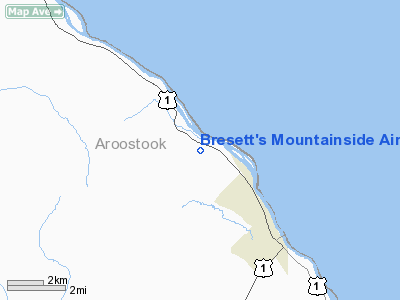
Bresett's Mountainside Airport |
Location & QuickFacts
| FAA Information Effective: | 2008-09-25 |
| Airport Identifier: | 17ME |
| Airport Status: | Operational |
| Longitude/Latitude: | 067-59-30.0000W/47-12-09.0000N
-67.991667/47.202500 (Estimated) |
| Elevation: | 590 ft / 179.83 m (Estimated) |
| Land: | 0 acres |
| From nearest city: | 4 nautical miles NW of Van Buren, ME |
| Location: | Aroostook County, ME |
| Magnetic Variation: | () |
Owner & Manager
| Ownership: | Privately owned |
| Owner: | Michael Bresett |
| Address: | 843 Main St
Van Buren, ME 04785 |
| Phone number: | 207-868-5903 |
| Manager: | Michael Bresett |
| Address: | 843 Main St
Van Buren, ME 04785 |
| Phone number: | 207-868-5903 |
Airport Operations and Facilities
| Airport Use: | Private |
| Control Tower: | No |
| Sectional chart: | Halifax |
| Region: | ANE - New England |
| Boundary ARTCC: | ZBW - Boston |
| Tie-in FSS: | BGR - Bangor |
| FSS Toll Free: | 1-800-WX-BRIEF |
Runway Information
Runway 13/31
| Dimension: | 1450 x 60 ft / 442.0 x 18.3 m |
| Surface: | TURF, |
| |
Runway 13 |
Runway 31 |
| Traffic Pattern: | Right | Left |
| Obstruction: | 50 ft trees, 800.0 ft from runway | 50 ft trees, 800.0 ft from runway |
|
Radio Navigation Aids
| ID |
Type |
Name |
Ch |
Freq |
Var |
Dist |
| YSL | NDB | St Leonard | | 404.00 | 22W | 5.0 nm |
| FVE | NDB | Frenchville | | 257.00 | 20W | 11.5 nm |
| LIF | NDB | Limestone | | 220.00 | 19W | 22.5 nm |
| PQI | VOR/DME | Presque Isle | 111X | 116.40 | 21W | 26.1 nm |
Remarks
Images and information placed above are from
http://www.airport-data.com/airport/17ME/
We thank them for the data!
We don't guarantee the information is fresh and accurate. The data may
be wrong or outdated.
For more up-to-date information please refer to other sources.
|
|


