 |
|
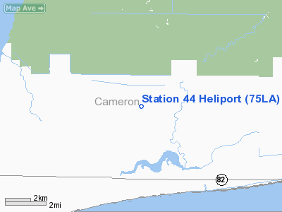
Location &
QuickFacts
|
FAA
Information Effective: |
2008-09-25 |
|
Airport
Identifier: |
75LA |
|
Airport
Status: |
Operational |
|
Longitude/Latitude: |
093-40-24.5750W/29-48-48.7880N
-93.673493/29.813552 (Estimated) |
|
Elevation: |
5 ft / 1.52 m (Estimated) |
|
Land: |
0 acres |
|
From
nearest city: |
2 nautical miles NE of Johnson Bayou, LA |
|
Location: |
Cameron Parish, LA |
|
Magnetic Variation: |
05E (1985) |
Owner & Manager
|
Ownership: |
Privately owned |
|
Owner: |
Transco Energy Company |
|
Address: |
P.o. Box 1396
Houston, TX 77251 |
|
Phone
number: |
512-241-2321 |
|
Manager: |
Ramon Gutierrez |
|
Address: |
P.o. Box 10286
Corpus Christi, TX 78410 |
|
Phone number: |
361-986-0387 |
Airport Operations and Facilities
|
Airport Use: |
Private |
|
Wind indicator: |
Yes |
|
Segmented Circle: |
No |
|
Control Tower: |
No |
|
Sectional chart: |
Houston |
|
Region: |
ASW - Southwest |
|
Boundary ARTCC: |
ZHU - Houston |
|
Tie-in FSS: |
DRI - De Ridder |
|
FSS Toll Free: |
1-800-WX-BRIEF |
Airport Services
|
Runway Information
Helipad H1
|
Dimension: |
30 x 25 ft / 9.1 x 7.6 m |
|
Surface: |
CONC, |
|
|
Runway H1
|
Runway
|
|
Traffic
Pattern: |
Left |
Left |
|
Radio Navigation Aids
|
ID |
Type |
Name |
Ch |
Freq |
Var |
Dist |
|
ORG |
NDB |
Orange |
|
211.00 |
05E |
16.7 nm |
|
UX |
NDB |
Sulfy |
|
278.00 |
04E |
26.6 nm |
|
GDE |
NDB |
Goodhue |
|
368.00 |
07E |
31.6 nm |
|
DQU |
NDB |
De Quincy |
|
410.00 |
05E |
38.9 nm |
|
HRD |
NDB |
Hardin County |
|
524.00 |
04E |
43.9 nm |
|
BPT |
VOR/DME |
Beaumont |
092X |
114.50 |
07E |
19.6 nm |
|
SBI |
VOR/DME |
Sabine Pass |
101X |
115.40 |
07E |
20.5 nm |
|
LCH |
VORTAC |
Lake Charles |
081X |
113.40 |
07E |
35.5 nm |
Station 44 Heliport
Address:
Cameron Parish, LA
Tel:
512-241-2321,
361-986-0387
Images
and information placed above are from
http://www.airport-data.com/airport/75LA/
We
thank them for the data!
|
General Info |
| Country |
United
States |
| State |
LOUISIANA |
| FAA ID |
75LA
|
| Latitude |
29-48-48.788N |
|
Longitude |
093-40-24.575W |
|
Elevation |
5 feet
|
| Near
City |
JOHNSON
BAYOU |
We don't guarantee the information is fresh and accurate. The data may
be wrong or outdated.
For more up-to-date information please refer to other sources.
|
|


