 |
|
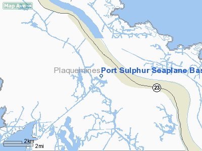
Port Sulphur Seaplane Base |
Location &
QuickFacts
|
FAA
Information Effective: |
2008-09-25 |
|
Airport
Identifier: |
4LA0 |
|
Airport
Status: |
Operational |
|
Longitude/Latitude: |
089-42-10.2320W/29-27-45.7830N
-89.702842/29.462718 (Estimated) |
|
Elevation: |
0 ft / 0.00 m (Estimated) |
|
Land: |
0 acres |
|
From
nearest city: |
1 nautical miles SW of Port Sulphur, LA |
|
Location: |
Plaquemines Parish, LA |
|
Magnetic Variation: |
03E (1985) |
Owner & Manager
|
Ownership: |
Privately owned |
|
Owner: |
Freeport Sulphur Company |
|
Address: |
Box 61520
New Orleans, LA 70161 |
|
Phone
number: |
504-564-3981 |
|
Manager: |
Mickey Bull |
|
Address: |
Po Box 20109
New Orleans, LA 70141 |
|
Phone number: |
504-465-3220 |
Airport Operations and Facilities
|
Airport Use: |
Private |
|
Wind indicator: |
Yes |
|
Segmented Circle: |
No |
|
Control Tower: |
No |
|
Landing fee charge: |
No |
|
Sectional chart: |
New Orleans |
|
Region: |
ASW - Southwest |
|
Boundary ARTCC: |
ZHU - Houston |
|
Tie-in FSS: |
DRI - De Ridder |
|
FSS on Airport: |
No |
|
FSS Toll Free: |
1-800-WX-BRIEF |
Airport Services
|
Airframe
Repair: |
NONE |
|
Power
Plant Repair: |
NONE |
|
Runway
Information
Runway NE/SW
|
Dimension: |
15000 x 200 ft / 4572.0 x 61.0 m |
|
Surface: |
WATER, |
|
|
Runway NE
|
Runway SW
|
|
Traffic
Pattern: |
Left |
Left |
|
Runway NW/SE
|
Dimension: |
15000 x 100 ft / 4572.0 x 30.5 m |
|
Surface: |
WATER, |
|
|
Runway NW
|
Runway SE
|
|
Traffic
Pattern: |
Left |
Left |
|
Radio Navigation Aids
|
ID |
Type |
Name |
Ch |
Freq |
Var |
Dist |
|
MS |
NDB |
Kinte |
|
338.00 |
03E |
49.7 nm |
|
LEV |
VORTAC |
Leeville |
082X |
113.50 |
02E |
27.2 nm |
|
HRV |
VORTAC |
Harvey |
088X |
114.10 |
02E |
28.1 nm |
|
NEW |
VOT |
New Orleans Lakefront |
|
111.00 |
|
38.6 nm |
Remarks
-
70' PLINES 600'
EAST SIDE OF CANAL; POSSIBLE FLOATING DEBRIS IN LNDG AREA.
-
SEAPLANE RAMPS
FOR PRIVATE USE ONLY.
Port Of Iberia Heliport
Address:
Plaquemines Parish, LA
Tel:
504-564-3981,
504-465-3220
Images
and information placed above are from
http://www.airport-data.com/airport/4LA0/
We
thank them for the data!
|
General Info |
| Country |
United
States |
| State |
LOUISIANA |
| FAA ID |
4LA0
|
| Latitude |
29-27-45.783N |
|
Longitude |
089-42-10.232W |
|
Elevation |
0 feet
|
| Near
City |
PORT
SULPHUR |
We don't guarantee the information is fresh and accurate. The data may
be wrong or outdated.
For more up-to-date information please refer to other sources.
|
|


