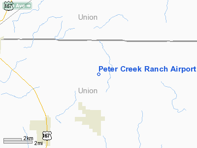
Peter Creek Ranch Airport |
Location &
QuickFacts
|
FAA
Information Effective: |
2008-09-25 |
|
Airport
Identifier: |
LA58 |
|
Airport
Status: |
Operational |
|
Longitude/Latitude: |
092-35-35.5470W/32-58-44.4950N
-92.593208/32.979026 (Estimated) |
|
Elevation: |
200 ft / 60.96 m (Estimated) |
|
Land: |
0 acres |
|
From
nearest city: |
3 nautical miles NE of Spearsville, LA |
|
Location: |
Union Parish, LA |
|
Magnetic Variation: |
04E (1985) |
Owner & Manager
|
Ownership: |
Privately owned |
|
Owner: |
Perry C.risinger |
|
Address: |
Rte No.1
Spearsville, LA 71277 |
|
Phone number: |
318-778-3343 |
|
Address: |
|
Airport Operations and Facilities
|
Airport Use: |
Private |
|
Wind indicator: |
No |
|
Segmented Circle: |
No |
|
Control Tower: |
No |
|
Sectional chart: |
Memphis |
|
Region: |
ASW - Southwest |
|
Boundary ARTCC: |
ZFW - Fort Worth |
|
Tie-in FSS: |
DRI - De Ridder |
|
FSS on Airport: |
No |
|
FSS Toll Free: |
1-800-WX-BRIEF |
Airport Services
|
Airframe
Repair: |
NONE |
|
Power
Plant Repair: |
NONE |
|
Runway Information
Runway 13/31
|
Dimension: |
2500 x 35 ft / 762.0 x 10.7 m |
|
Surface: |
TURF, |
|
|
Runway 13
|
Runway 31
|
|
Traffic
Pattern: |
Left |
Left |
|
Radio Navigation Aids
|
ID |
Type |
Name |
Ch |
Freq |
Var |
Dist |
|
ROQ |
NDB |
Ruston |
|
368.00 |
03E |
22.3 nm |
|
HMQ |
NDB |
Homer |
|
212.00 |
02E |
23.5 nm |
|
TUF |
NDB |
Stuckey |
|
350.00 |
03E |
34.3 nm |
|
AGO |
NDB |
Magnolia |
|
266.00 |
04E |
34.7 nm |
|
BQP |
NDB |
Bastrop |
|
329.00 |
03E |
38.3 nm |
|
CDH |
NDB |
Camden |
|
335.00 |
03E |
39.1 nm |
|
MNE |
NDB |
Minden |
|
201.00 |
04E |
41.2 nm |
|
SPH |
NDB |
Springhill |
|
375.00 |
05E |
41.3 nm |
|
REN |
NDB |
Warren |
|
226.00 |
04E |
42.3 nm |
|
JBL |
NDB |
Hodge |
|
256.00 |
04E |
47.2 nm |
|
ELD |
VORTAC |
El Dorado |
102X |
115.50 |
07E |
18.3 nm |
|
MLU |
VORTAC |
Monroe |
119X |
117.20 |
03E |
39.6 nm |
Peter Creek Ranch Airport
Address:
Union Parish, LA
Tel:
318-778-3343
Images
and information placed above are from
http://www.airport-data.com/airport/LA58/
We
thank them for the data!
|
General Info |
| Country |
United
States |
| State |
LOUISIANA |
| FAA ID |
LA58
|
| Latitude |
32-58-44.495N |
|
Longitude |
092-35-35.547W |
|
Elevation |
200 feet
|
| Near
City |
SPEARSVILLE |
We don't guarantee the information is fresh and accurate. The data may
be wrong or outdated.
For more up-to-date information please refer to other sources.
|


