|
|
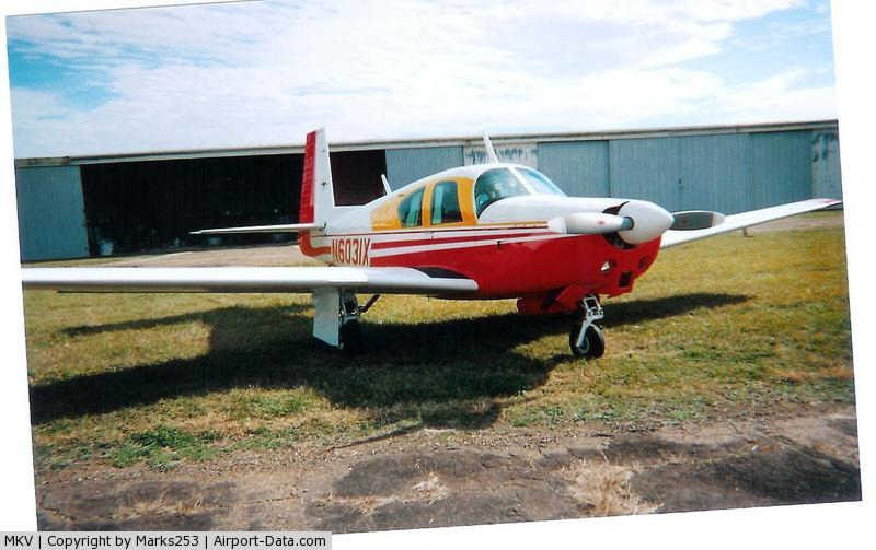
Marksville Municipal Airport |

|
 |
(Click on the photo to enlarge) |
Location &
QuickFacts
|
FAA
Information Effective: |
2008-09-25 |
|
Airport
Identifier: |
MKV |
|
Airport
Status: |
Operational |
|
Longitude/Latitude: |
092-04-08.6000W/31-05-40.8000N
-92.069056/31.094667 (Estimated) |
|
Elevation: |
79 ft / 24.08 m (Surveyed) |
|
Land: |
65 acres |
|
From
nearest city: |
1 nautical miles S of Marksville, LA |
|
Location: |
Avoyelles Parish, LA |
|
Magnetic Variation: |
02E (2005) |
Owner & Manager
|
Ownership: |
Publicly owned |
|
Owner: |
Avoyelles Parish Airport Authority |
|
Address: |
312 North Main St
Marksville, LA 71351 |
|
Phone number: |
318-253-7291 |
|
Manager: |
Newman Dubea |
|
Address: |
304 Spring Bayou
Marksville, LA 71351 |
|
Phone number: |
318-253-9574 |
Airport
Operations and Facilities
|
Airport
Use: |
Open to public |
|
Wind
indicator: |
Yes |
|
Segmented Circle: |
Yes |
|
Control
Tower: |
No |
|
Lighting
Schedule: |
DUSK-DAWN
MIRL RY 04/22 PRESET LOW INTST; TO INCR INTST ACTVT - 122.8. |
|
Beacon
Color: |
Clear-Green (lighted land airport) |
|
Landing
fee charge: |
No |
|
Sectional chart: |
Houston |
|
Region: |
ASW - Southwest |
|
Boundary
ARTCC: |
ZHU - Houston |
|
Tie-in
FSS: |
DRI - De Ridder |
|
FSS on
Airport: |
No |
|
FSS Toll
Free: |
1-800-WX-BRIEF |
|
NOTAMs
Facility: |
DRI (NOTAM-d service avaliable) |
|
Federal Agreements: |
NGY |
Airport Communications
Airport Services
|
Fuel
available: |
100LL
FUEL AVBL 24 HRS WITH CREDIT CARD. |
|
Bottled
Oxygen: |
NONE |
|
Bulk
Oxygen: |
NONE |
|
Runway Information
Runway 04/22
|
Dimension: |
3799 x 75 ft / 1157.9 x 22.9 m |
|
Surface: |
ASPH, Good Condition |
|
Weight Limit: |
Single wheel: 19000 lbs. |
|
Edge Lights: |
Medium |
|
|
Runway 04 |
Runway 22 |
|
Longitude: |
092-04-23.9873W |
092-03-53.2370W |
|
Latitude: |
31-05-27.3935N |
31-05-54.1083N |
|
Elevation: |
74.00 ft |
78.00 ft |
|
Alignment: |
45 |
127 |
|
Traffic
Pattern: |
Left |
Left |
|
Markings: |
Non-precision instrument, Good Condition |
Non-precision instrument, Good Condition |
|
Crossing
Height: |
18.00 ft |
18.00 ft |
|
VASI: |
2-box SAVASI on left side
SAVSI OTS INDEFLY. |
2-box SAVASI on left side
SAVASI OTS INDEFLY. |
|
Visual
Glide Angle: |
3.50° |
3.50° |
|
Obstruction: |
50 ft trees, 2500.0 ft from runway, 450 ft left of
centerline, 46:1 slope to clear |
36 ft trees, 827.0 ft from runway, 250 ft left of
centerline, 17:1 slope to clear |
|
Radio Navigation Aids
|
ID |
Type |
Name |
Ch |
Freq |
Var |
Dist |
|
MKV |
NDB |
Marksville |
|
347.00 |
02E |
0.2 nm |
|
BWK |
NDB |
Bunkie |
|
397.00 |
03E |
16.2 nm |
|
OPL |
NDB |
St Landry |
|
335.00 |
04E |
26.4 nm |
|
ECY |
NDB |
Eunice |
|
263.00 |
02E |
37.6 nm |
|
HZ |
NDB |
Hazer |
|
356.00 |
04E |
40.8 nm |
|
LRR |
NDB |
Allen Parish |
|
379.00 |
03E |
42.0 nm |
|
AEX |
VORTAC |
Alexandria |
108X |
116.10 |
03E |
24.3 nm |
Remarks
-
NORTH RAMP CLSD
TO ALL TRAFFIC & PARKING INDEFLY.
-
PRE-DATES THE ACT.
Based Aircraft
|
Aircraft based
on field: |
13 |
|
Single Engine
Airplanes: |
13 |
Operational Statistics
Time Period: 2007-03-20 - 2008-03-18
|
Aircraft
Operations: |
135/Week |
|
General
Aviation Local: |
71.4% |
|
General
Aviation Itinerant: |
28.6% |
Marksville Municipal Airport
Address:
Avoyelles Parish, LA
Tel:
318-253-7291, 318-253-9574
Images
and information placed above are from
http://www.airport-data.com/airport/MKV/
We
thank them for the data!
|
General Info |
| Country |
United
States |
| State |
LOUISIANA |
| FAA ID |
MKV
|
| Latitude |
31-05-40.776N |
|
Longitude |
092-04-08.647W |
|
Elevation |
79 feet
|
| Near
City |
MARKSVILLE |
We don't guarantee the information is fresh and accurate. The data may
be wrong or outdated.
For more up-to-date information please refer to other sources.
|
|