 |
|
Location &
QuickFacts
|
FAA
Information Effective: |
2008-09-25 |
|
Airport
Identifier: |
LA47 |
|
Airport
Status: |
Operational |
|
Longitude/Latitude: |
089-21-50.1930W/29-17-09.7920N
-89.363943/29.286053 (Estimated) |
|
Elevation: |
-3 ft / -0.91 m (Estimated) |
|
Land: |
4 acres |
|
From
nearest city: |
3 nautical miles SE of Venice, LA |
|
Location: |
Plaquemines Parish, LA |
|
Magnetic Variation: |
03E (1985) |
Owner & Manager
|
Ownership: |
Privately owned |
|
Owner: |
Marathon Oil Co |
|
Address: |
P.o. Box 53266
Lafayette, LA 70505 |
|
Phone
number: |
318-233-8240 |
|
Manager: |
R. J. Barnwell |
|
Address: |
P.o. Box 53266
Lafayette, LA 70505 |
|
Phone number: |
318-233-8240 |
Airport Operations and Facilities
|
Airport
Use: |
Private |
|
Wind
indicator: |
Yes |
|
Segmented Circle: |
No |
|
Control
Tower: |
No |
|
Sectional chart: |
New Orleans |
|
Region: |
ASW - Southwest |
|
Boundary
ARTCC: |
ZHU - Houston |
|
Tie-in
FSS: |
DRI - De Ridder |
|
FSS Toll
Free: |
1-800-WX-BRIEF |
|
Runway Information
Helipad H1
|
Dimension: |
40 x 40 ft / 12.2 x 12.2 m |
|
Surface: |
CONC, |
|
|
Runway H1
|
Runway
|
|
Traffic
Pattern: |
Left |
Left |
|
Radio Navigation Aids
|
ID |
Type |
Name |
Ch |
Freq |
Var |
Dist |
|
LEV |
VORTAC |
Leeville |
082X |
113.50 |
02E |
39.4 nm |
|
HRV |
VORTAC |
Harvey |
088X |
114.10 |
02E |
47.6 nm |
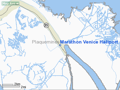
Marathon Venice Heliport
Address:
Plaquemines Parish, LA
Tel:
318-233-8240
Images
and information placed above are from
http://www.airport-data.com/airport/LA47/
We
thank them for the data!
|
General Info |
| Country |
United
States |
| State |
LOUISIANA |
| FAA ID |
LA47
|
| Latitude |
29-17-09.792N |
|
Longitude |
089-21-50.193W |
|
Elevation |
-3 feet
|
| Near
City |
VENICE
|
We don't guarantee the information is fresh and accurate. The data may
be wrong or outdated.
For more up-to-date information please refer to other sources.
|
|


