 |
|
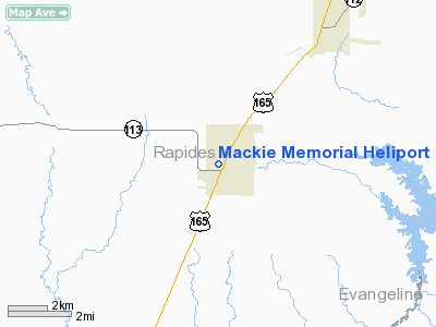
Location &
QuickFacts
|
FAA
Information Effective: |
2008-09-25 |
|
Airport
Identifier: |
LS95 |
|
Airport
Status: |
Operational |
|
Longitude/Latitude: |
092-35-13.5040W/30-58-45.6860N
-92.587084/30.979357 (Estimated) |
|
Elevation: |
135 ft / 41.15 m (Estimated) |
|
Land: |
0 acres |
|
From
nearest city: |
0 nautical miles E of Glenmora, LA |
|
Location: |
Rapides Parish, LA |
|
Magnetic Variation: |
04E (1990) |
Owner & Manager
|
Ownership: |
Privately owned |
|
Owner: |
Jw Mc Donald |
|
Address: |
Glenmora, LA 71433 |
|
Phone
number: |
318-748-8111 |
|
Manager: |
Diedre M. Guy |
|
Address: |
P.o. Box 758
Glenmora, LA 71433 |
|
Phone number: |
318-748-6163 |
Airport Operations and Facilities
|
Airport
Use: |
Private
MEDICAL. |
|
Wind
indicator: |
Yes |
|
Segmented Circle: |
No |
|
Control
Tower: |
No |
|
Sectional chart: |
Houston |
|
Region: |
ASW - Southwest |
|
Boundary
ARTCC: |
ZHU - Houston |
|
Tie-in
FSS: |
DRI - De Ridder |
|
FSS on
Airport: |
No |
|
FSS Toll
Free: |
1-800-WX-BRIEF |
|
Runway Information
Helipad H1
|
Dimension: |
100 x 100 ft / 30.5 x 30.5 m |
|
Surface: |
TURF, |
|
|
Runway H1
|
Runway
|
|
Traffic
Pattern: |
Left |
Left |
|
Radio Navigation Aids
|
ID |
Type |
Name |
Ch |
Freq |
Var |
Dist |
|
POE |
FAN MARKER |
South |
|
|
07E |
29.7 nm |
|
POE1 |
FAN MARKER |
North |
|
|
07E |
33.5 nm |
|
BWK |
NDB |
Bunkie |
|
397.00 |
03E |
19.4 nm |
|
LRR |
NDB |
Allen Parish |
|
379.00 |
03E |
21.0 nm |
|
ECY |
NDB |
Eunice |
|
263.00 |
02E |
26.2 nm |
|
MKV |
NDB |
Marksville |
|
347.00 |
02E |
27.4 nm |
|
GUV |
NDB |
Gator |
|
359.00 |
05E |
30.9 nm |
|
OPL |
NDB |
St Landry |
|
335.00 |
04E |
31.9 nm |
|
VED |
NDB |
Leesville |
|
247.00 |
04E |
39.6 nm |
|
DR |
NDB |
Idder |
|
385.00 |
04E |
40.9 nm |
|
IE |
NDB |
Campi |
|
407.00 |
04E |
47.9 nm |
|
AEX |
VORTAC |
Alexandria |
108X |
116.10 |
03E |
17.3 nm |
|
FXU |
VORTAC |
Polk |
021X |
108.40 |
05E |
33.4 nm |
Remarks
-
PRVDD OPNS
CONDUCTED IN VFR CONDS; MAINTAIN WIND INDICATOR; SAFETY BARRIER PLACE
PREVENTINGPEDESTRIANS FM ENTERING HELIPORT; SIGN PLACED AT ENTRANCE OF HEL
WARNING PEOPLE OF OPNS & INGRESS/EGRESS ROUTES MKD SO OVERFLYING PUBLIC
PARKING AREAS DONT OCCUR.
Mackie Memorial Heliport
Address:
Rapides Parish, LA
Tel:
318-748-8111,
318-748-6163
Images
and information placed above are from
http://www.airport-data.com/airport/LS95/
We
thank them for the data!
|
General Info |
| Country |
United
States |
| State |
LOUISIANA |
| FAA ID |
LS95
|
| Latitude |
30-58-45.686N |
|
Longitude |
092-35-13.504W |
|
Elevation |
135 feet
|
| Near
City |
GLENMORA
|
We don't guarantee the information is fresh and accurate. The data may
be wrong or outdated.
For more up-to-date information please refer to other sources.
|
|


