 |
|
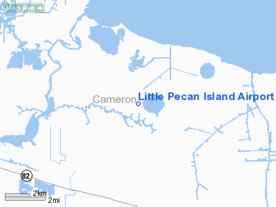
Little Pecan Island Airport |
Location &
QuickFacts
|
FAA
Information Effective: |
2008-09-25 |
|
Airport
Identifier: |
3LA4 |
|
Airport
Status: |
Operational |
|
Longitude/Latitude: |
092-48-00.5160W/29-48-00.7830N
-92.800143/29.800217 (Estimated) |
|
Elevation: |
5 ft / 1.52 m (Estimated) |
|
Land: |
0 acres |
|
From
nearest city: |
18 nautical miles SW of Lake Arthur, LA |
|
Location: |
Cameron Parish, LA |
|
Magnetic Variation: |
04E (1985) |
Owner & Manager
|
Ownership: |
Privately owned |
|
Owner: |
Little Pecan Prop Ltd |
|
Address: |
Box 947
Natchitoches, LA 71457 |
|
Phone number: |
318-352-8289 |
|
Manager: |
Little Pecan Prop Ltd |
|
Address: |
Box 947
Natchitoches, LA 71457 |
|
Phone number: |
318-538-2373 |
Airport Operations and Facilities
|
Airport Use: |
Private |
|
Wind indicator: |
Yes |
|
Segmented Circle: |
No |
|
Control Tower: |
No |
|
Landing fee charge: |
No |
|
Sectional chart: |
Houston |
|
Region: |
ASW - Southwest |
|
Boundary ARTCC: |
ZHU - Houston |
|
Tie-in FSS: |
DRI - De Ridder |
|
FSS on Airport: |
No |
|
FSS Toll Free: |
1-800-WX-BRIEF |
Airport Services
|
Airframe
Repair: |
NONE |
|
Power
Plant Repair: |
NONE |
|
Runway Information
Runway NW/SE
|
Dimension: |
3000 x 70 ft / 914.4 x 21.3 m |
|
Surface: |
TURF, |
|
|
Runway NW |
Runway SE |
|
Traffic
Pattern: |
Left |
Left |
|
Radio Navigation Aids
|
ID |
Type |
Name |
Ch |
Freq |
Var |
Dist |
|
UX |
NDB |
Sulfy |
|
278.00 |
04E |
40.2 nm |
|
ECY |
NDB |
Eunice |
|
263.00 |
02E |
49.2 nm |
|
AR |
NDB |
Acadi |
|
269.00 |
03E |
49.7 nm |
|
LLA |
VOR/DME |
White Lake |
041X |
110.40 |
04E |
23.7 nm |
|
LCH |
VORTAC |
Lake Charles |
081X |
113.40 |
07E |
26.0 nm |
|
LFT |
VORTAC |
Lafayette |
035X |
109.80 |
03E |
48.2 nm |
Remarks
-
TREES ALL DIRECTIONS.
-
PRE-DATES THE ACT.
Little Pecan Island Airport
Address:
Cameron Parish, LA
Tel:
318-352-8289, 318-538-2373
Images
and information placed above are from
http://www.airport-data.com/airport/3LA4/
We
thank them for the data!
|
General Info |
| Country |
United
States |
| State |
LOUISIANA |
| FAA ID |
3LA4
|
| Latitude |
29-48-00.783N |
|
Longitude |
092-48-00.516W |
|
Elevation |
5 feet
|
| Near
City |
LAKE
ARTHUR |
We don't guarantee the information is fresh and accurate. The data may
be wrong or outdated.
For more up-to-date information please refer to other sources.
|
|


