 |
|
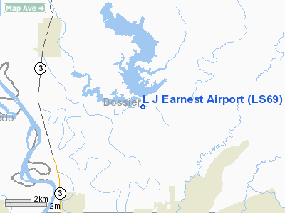
Location &
QuickFacts
|
FAA
Information Effective: |
2008-09-25 |
|
Airport
Identifier: |
LS69 |
|
Airport
Status: |
Operational |
|
Longitude/Latitude: |
093-39-44.6370W/32-38-36.5300N
-93.662399/32.643481 (Estimated) |
|
Elevation: |
165 ft / 50.29 m (Estimated) |
|
Land: |
17 acres |
|
From
nearest city: |
5 nautical miles E of Benton, LA |
|
Location: |
Bossier Parish, LA |
|
Magnetic Variation: |
05E (1985) |
Owner & Manager
|
Ownership: |
Privately owned |
|
Owner: |
L.j. Earnest |
|
Address: |
Po Box 5339
Bossier City, LA 71171-5339 |
|
Phone
number: |
318-747-2370 |
|
Manager: |
W.j. Dillingham |
|
Address: |
Po Box 5339
Bossier City, LA 71171-5339 |
|
Phone number: |
318-747-2370 |
Airport Operations and Facilities
|
Airport
Use: |
Private |
|
Segmented Circle: |
No |
|
Control
Tower: |
No |
|
Sectional chart: |
Memphis |
|
Region: |
ASW - Southwest |
|
Boundary
ARTCC: |
ZFW - Fort Worth |
|
Tie-in
FSS: |
DRI - De Ridder |
|
FSS Toll
Free: |
1-800-WX-BRIEF |
|
Runway Information
Runway 08/26
|
Dimension: |
4000 x 100 ft / 1219.2 x 30.5 m |
|
Surface: |
TURF, |
|
|
Runway 08
|
Runway 26
|
|
Traffic
Pattern: |
Left |
Left |
|
Obstruction: |
40 ft trees, 600.0 ft from runway |
40 ft trees, 600.0 ft from runway |
|
Radio Navigation Aids
|
ID |
Type |
Name |
Ch |
Freq |
Var |
Dist |
|
MNE |
NDB |
Minden |
|
201.00 |
04E |
18.2 nm |
|
SPH |
NDB |
Springhill |
|
375.00 |
05E |
21.0 nm |
|
VIV |
NDB |
Vivian |
|
284.00 |
06E |
21.9 nm |
|
HMQ |
NDB |
Homer |
|
212.00 |
02E |
34.6 nm |
|
MSD |
NDB |
Mansfield |
|
414.00 |
04E |
35.2 nm |
|
ATA |
NDB |
Atlanta |
|
347.00 |
04E |
38.4 nm |
|
AGO |
NDB |
Magnolia |
|
266.00 |
04E |
41.7 nm |
|
RPF |
NDB |
Carthage |
|
332.00 |
04E |
42.5 nm |
|
BAD |
TACAN |
Barksdale |
105X |
|
05E |
8.4 nm |
|
DTN |
VOR |
Downtown |
|
108.60 |
07E |
7.4 nm |
|
EIC |
VORTAC |
Belcher |
121X |
117.40 |
07E |
10.7 nm |
|
EMG |
VORTAC |
Elm Grove |
049X |
111.20 |
07E |
15.0 nm |
|
SHV |
VOT |
Shreveport Regional |
|
108.20 |
|
9.0 nm |
L J Earnest Airport
Address:
Bossier Parish, LA
Tel:
318-747-2370
Images
and information placed above are from
http://www.airport-data.com/airport/LS69/
We
thank them for the data!
|
General Info |
| Country |
United
States |
| State |
LOUISIANA |
| FAA ID |
LS69
|
| Latitude |
32-38-36.530N |
|
Longitude |
093-39-44.637W |
|
Elevation |
165 feet
|
| Near
City |
BENTON
|
We don't guarantee the information is fresh and accurate. The data may
be wrong or outdated.
For more up-to-date information please refer to other sources.
|
|


