 |
|
|
|
|
|
Location &
QuickFacts
|
FAA
Information Effective: |
2008-09-25 |
|
Airport
Identifier: |
LA69 |
|
Airport
Status: |
Operational |
|
Longitude/Latitude: |
091-04-46.3760W/30-28-17.6840N
-91.079549/30.471579 (Estimated) |
|
Elevation: |
50 ft / 15.24 m (Estimated) |
|
Land: |
4 acres |
|
From
nearest city: |
0 nautical miles N of Baton Rouge, LA |
|
Location: |
East Baton Rouge Parish, LA |
|
Magnetic Variation: |
03E (1985) |
Owner & Manager
|
Ownership: |
Privately owned |
|
Owner: |
Jenkins Construction Corp. |
|
Address: |
9810 Bluebonnet Blvd.
Baton Rouge, LA 70810 |
|
Phone
number: |
225-761-2144 |
|
Manager: |
Jim Jenkins |
|
Address: |
9810 Bluebonnet Blvd
Baton Rouge, LA 70810 |
|
Phone number: |
225-761-2144 |
Airport Operations and Facilities
|
Airport Use: |
Private |
|
Wind indicator: |
Yes |
|
Segmented Circle: |
No |
|
Control Tower: |
No |
|
Landing fee charge: |
No |
|
Sectional chart: |
Houston |
|
Region: |
ASW - Southwest |
|
Boundary ARTCC: |
ZHU - Houston |
|
Tie-in FSS: |
DRI - De Ridder |
|
FSS on Airport: |
No |
|
FSS Toll Free: |
1-800-WX-BRIEF |
Airport Services
|
Fuel
available: |
A |
|
Airframe
Repair: |
NONE |
|
Power
Plant Repair: |
NONE |
|
Runway Information
Helipad H1
|
Dimension: |
1500 x 300 ft / 457.2 x 91.4 m |
|
Surface: |
CONC, |
|
|
Runway H1
|
Runway
|
|
Traffic
Pattern: |
Left |
Left |
|
Radio Navigation Aids
|
ID |
Type |
Name |
Ch |
Freq |
Var |
Dist |
|
HZ |
NDB |
Hazer |
|
356.00 |
04E |
23.3 nm |
|
MS |
NDB |
Kinte |
|
338.00 |
03E |
44.3 nm |
|
PTN |
NDB |
Patterson |
|
245.00 |
01E |
47.4 nm |
|
HMU |
VOR |
Hammond |
|
109.60 |
03E |
34.4 nm |
|
RQR |
VOR/DME |
Reserve |
045X |
110.80 |
02E |
34.4 nm |
|
BTR |
VORTAC |
Baton Rouge |
112X |
116.50 |
06E |
11.1 nm |
Remarks
-
HELIPORT LCTD
WITHIN RYAN ARPT CTLZ & UNDER BACK COURSE INSTRUMENT APCH PCDR TO RWY 31.
Based Aircraft
|
Aircraft based
on field: |
1 |
|
Helicopters: |
1 |
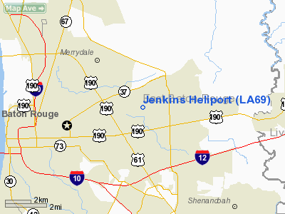
Jenkins Heliport
Address:
East Baton Rouge Parish, LA
Tel:
225-761-2144
Images
and information placed above are from
http://www.airport-data.com/airport/LA69/
We
thank them for the data!
|
General Info |
| Country |
United
States |
| State |
LOUISIANA |
| FAA ID |
LA69
|
| Latitude |
30-28-17.684N |
|
Longitude |
091-04-46.376W |
|
Elevation |
50 feet
|
| Near
City |
BATON
ROUGE |
We don't guarantee the information is fresh and accurate. The data may
be wrong or outdated.
For more up-to-date information please refer to other sources.
|
|


