 |
|
Location &
QuickFacts
|
FAA
Information Effective: |
2008-09-25 |
|
Airport
Identifier: |
LS17 |
|
Airport
Status: |
Operational |
|
Longitude/Latitude: |
089-37-08.1970W/30-03-57.7180N
-89.618944/30.066033 (Estimated) |
|
Elevation: |
0 ft / 0.00 m (Estimated) |
|
Land: |
10 acres |
|
From
nearest city: |
0 nautical miles N of Slidell, LA |
|
Location: |
St Tammany Parish, LA |
|
Magnetic Variation: |
03E (1985) |
Owner & Manager
|
Ownership: |
Privately owned |
|
Owner: |
Jack Kent |
|
Address: |
504-465-0400
Slidell, LA 70459 |
|
Phone
number: |
504-531-7888
1-800-633-0090 |
|
Manager: |
Charles R Lee |
|
Address: |
110 James Dr W Suite 235
St. Rose, LA 70087 |
|
Phone number: |
504-465-0400
1-800-633-0090 |
Airport Operations and Facilities
|
Airport
Use: |
Private |
|
Wind
indicator: |
Yes |
|
Segmented Circle: |
No |
|
Control
Tower: |
No |
|
Sectional chart: |
New Orleans |
|
Region: |
ASW - Southwest |
|
Boundary
ARTCC: |
ZHU - Houston |
|
Tie-in
FSS: |
DRI - De Ridder |
|
FSS on
Airport: |
No |
|
FSS Toll
Free: |
1-800-WX-BRIEF |
|
Runway Information
Helipad H1
|
Dimension: |
30 x 30 ft / 9.1 x 9.1 m |
|
Surface: |
CONC, |
|
|
Runway H1
|
Runway
|
|
Traffic
Pattern: |
Left |
Left |
|
Radio Navigation Aids
|
ID |
Type |
Name |
Ch |
Freq |
Var |
Dist |
|
DEF |
NDB |
Slidell |
|
256.00 |
03E |
17.8 nm |
|
FNA |
NDB |
Florenville |
|
371.00 |
03E |
23.5 nm |
|
AYI |
NDB |
Hanco |
|
221.00 |
03E |
24.7 nm |
|
HS |
NDB |
Hanco |
|
221.00 |
01E |
24.7 nm |
|
MJD |
NDB |
Picayune |
|
276.00 |
01E |
25.8 nm |
|
MS |
NDB |
Kinte |
|
338.00 |
03E |
40.7 nm |
|
BIX |
TACAN |
Keesler |
055X |
|
01E |
41.2 nm |
|
HMU |
VOR |
Hammond |
|
109.60 |
03E |
49.6 nm |
|
PCU |
VOR/DME |
Picayune |
059X |
112.20 |
05E |
30.3 nm |
|
GPT |
VOR/DME |
Gulfport |
27X |
109.00 |
02E |
34.8 nm |
|
HRV |
VORTAC |
Harvey |
088X |
114.10 |
02E |
23.8 nm |
|
NEW |
VOT |
New Orleans Lakefront |
|
111.00 |
|
21.3 nm |
Based Aircraft
|
Aircraft based
on field: |
1 |
|
Helicopters: |
1 |
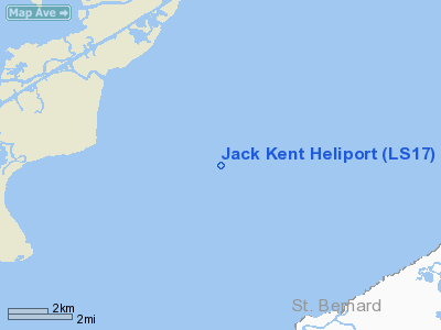
Jack Kent Heliport
Address:
St Tammany Parish, LA
Tel:
504-531-7888, 1-800-633-0090,
504-465-0400
Images
and information placed above are from
http://www.airport-data.com/airport/LS17/
We
thank them for the data!
|
General Info |
| Country |
United
States |
| State |
LOUISIANA |
| FAA ID |
LS17
|
| Latitude |
30-03-57.718N |
|
Longitude |
089-37-08.197W |
|
Elevation |
0 feet
|
| Near
City |
SLIDELL
|
We don't guarantee the information is fresh and accurate. The data may
be wrong or outdated.
For more up-to-date information please refer to other sources.
|
|


