 |
|
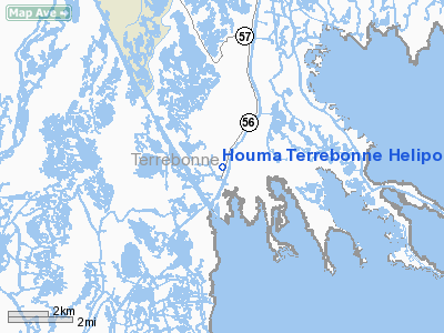
Houma Terrebonne Heliport |
Location &
QuickFacts
|
FAA
Information Effective: |
2008-09-25 |
|
Airport
Identifier: |
LS19 |
|
Airport
Status: |
Operational |
|
Longitude/Latitude: |
090-39-44.3160W/29-15-01.8140N
-90.662310/29.250504 (Estimated) |
|
Elevation: |
3 ft / 0.91 m (Estimated) |
|
Land: |
41 acres |
|
From
nearest city: |
14 nautical miles NE of Chauvin, LA |
|
Location: |
Terrebonne Parish, LA |
|
Magnetic Variation: |
03E (1980) |
Owner & Manager
|
Ownership: |
Privately owned |
|
Owner: |
John L. Glover |
|
Address: |
106 Pier 56
Chauvin, LA 70344 |
|
Phone number: |
985-594-6626 |
|
Manager: |
Michael Glover |
|
Address: |
106 Pier 56
Chauvin, LA 70344 |
|
Phone number: |
985-594-6626 |
Airport
Operations and Facilities
|
Airport
Use: |
Private |
|
Segmented Circle: |
No |
|
Control
Tower: |
No |
|
Sectional chart: |
New Orleans |
|
Region: |
ASW - Southwest |
|
Boundary
ARTCC: |
ZHU - Houston |
|
Tie-in
FSS: |
DRI - De Ridder |
|
FSS Toll
Free: |
1-800-WX-BRIEF |
|
Runway Information
Helipad H1
|
Dimension: |
80 x 80 ft / 24.4 x 24.4 m |
|
Surface: |
TURF, |
|
|
Runway H1
|
Runway
|
|
Traffic
Pattern: |
Left |
Left |
|
Radio Navigation Aids
|
ID |
Type |
Name |
Ch |
Freq |
Var |
Dist |
|
PTN |
NDB |
Patterson |
|
245.00 |
01E |
45.0 nm |
|
MS |
NDB |
Kinte |
|
338.00 |
03E |
48.5 nm |
|
TBD |
VORTAC |
Tibby |
057X |
112.00 |
02E |
26.4 nm |
|
LEV |
VORTAC |
Leeville |
082X |
113.50 |
02E |
29.6 nm |
|
HRV |
VORTAC |
Harvey |
088X |
114.10 |
02E |
49.9 nm |
Houma Terrebonne Heliport
Address:
Terrebonne Parish, LA
Tel:
985-594-6626
Images
and information placed above are from
http://www.airport-data.com/airport/LS19/
We
thank them for the data!
|
General Info |
| Country |
United
States |
| State |
LOUISIANA |
| FAA ID |
LS19
|
| Latitude |
29-15-01.814N |
|
Longitude |
090-39-44.316W |
|
Elevation |
3 feet
|
| Near
City |
CHAUVIN
|
We don't guarantee the information is fresh and accurate. The data may
be wrong or outdated.
For more up-to-date information please refer to other sources.
|
|


