 |
|
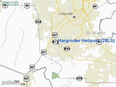
Location &
QuickFacts
|
FAA
Information Effective: |
2008-09-25 |
|
Airport
Identifier: |
28LS |
|
Airport
Status: |
Operational |
|
Longitude/Latitude: |
092-03-45.0000W/30-10-09.0000N
-92.062500/30.169167 (Estimated) |
|
Elevation: |
120 ft / 36.58 m (Estimated) |
|
Land: |
0 acres |
|
From
nearest city: |
0 nautical miles N of Lafayette, LA |
|
Location: |
Lafayette Parish, LA |
|
Magnetic Variation: |
() |
Owner & Manager
|
Ownership: |
Privately owned |
|
Owner: |
Hargroder Equity Partners, Llc |
|
Address: |
3861 Ambassador Caffery
Lafayette, LA 70503 |
|
Phone number: |
337-993-0495 |
|
Manager: |
Dwayne Hargroder |
|
Address: |
3861 Ambassador Caffery
Lafayette, LA 70503 |
|
Phone number: |
337-993-0495 |
Airport
Operations and Facilities
|
Airport
Use: |
Private |
|
Control
Tower: |
No |
|
Sectional chart: |
Houston |
|
Region: |
ASW - Southwest |
|
Boundary
ARTCC: |
ZHU - Houston |
|
Tie-in
FSS: |
DRI - De Ridder |
|
FSS Toll
Free: |
1-800-WX-BRIEF |
|
Runway Information
Helipad H1
|
Dimension: |
34 x 34 ft / 10.4 x 10.4 m |
|
Surface: |
CONC, |
|
|
Runway H1
|
Runway
|
|
Traffic
Pattern: |
Left |
Left |
|
Radio Navigation Aids
|
ID |
Type |
Name |
Ch |
Freq |
Var |
Dist |
|
AR |
NDB |
Acadi |
|
269.00 |
03E |
16.5 nm |
|
OPL |
NDB |
St Landry |
|
335.00 |
04E |
29.3 nm |
|
ECY |
NDB |
Eunice |
|
263.00 |
02E |
30.8 nm |
|
HZ |
NDB |
Hazer |
|
356.00 |
04E |
40.7 nm |
|
BWK |
NDB |
Bunkie |
|
397.00 |
03E |
42.8 nm |
|
LRR |
NDB |
Allen Parish |
|
379.00 |
03E |
43.1 nm |
|
PTN |
NDB |
Patterson |
|
245.00 |
01E |
46.6 nm |
|
LLA |
VOR/DME |
White Lake |
041X |
110.40 |
04E |
34.5 nm |
|
LFT |
VORTAC |
Lafayette |
035X |
109.80 |
03E |
3.9 nm |
|
BTR |
VORTAC |
Baton Rouge |
112X |
116.50 |
06E |
44.2 nm |
Hargroder Heliport
Address:
Lafayette Parish, LA
Tel:
337-993-0495
We don't guarantee the information is fresh and accurate. The data may
be wrong or outdated.
For more up-to-date information please refer to other sources.
|
|


