 |
|
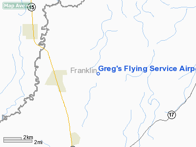
Greg's Flying Service Airport |
Location &
QuickFacts
|
FAA
Information Effective: |
2008-09-25 |
|
Airport
Identifier: |
05LA |
|
Airport
Status: |
Operational |
|
Longitude/Latitude: |
091-41-52.0000W/32-15-55.0000N
-91.697778/32.265278 (Estimated) |
|
Elevation: |
76 ft / 23.16 m (Estimated) |
|
Land: |
0 acres |
|
From
nearest city: |
2 nautical miles E of Baskin, LA |
|
Location: |
Franklin Parish, LA |
|
Magnetic Variation: |
03E (1990) |
Owner & Manager
|
Ownership: |
Privately owned |
|
Owner: |
Gregory W. Taylor |
|
Address: |
540 Blount Road
Winnsboro, LA 71295 |
|
Phone number: |
318-435-3949 |
|
Address: |
|
Airport
Operations and Facilities
|
Airport
Use: |
Private |
|
Segmented Circle: |
No |
|
Control
Tower: |
No |
|
Sectional chart: |
Memphis |
|
Region: |
ASW - Southwest |
|
Boundary
ARTCC: |
ZHU - Houston |
|
Tie-in
FSS: |
DRI - De Ridder |
|
FSS on
Airport: |
No |
|
FSS Toll
Free: |
1-800-WX-BRIEF |
|
Runway Information
Runway 18/36
|
Dimension: |
2200 x 70 ft / 670.6 x 21.3 m |
|
Surface: |
TURF, |
|
|
Runway 18
|
Runway 36
|
|
Traffic
Pattern: |
Left |
Left |
|
Obstruction: |
60 ft trees, 100.0 ft from runway |
60 ft trees, 100.0 ft from runway |
|
Radio Navigation Aids
|
ID |
Type |
Name |
Ch |
Freq |
Var |
Dist |
|
MRK |
NDB |
Molly Ridge |
|
338.00 |
02E |
9.3 nm |
|
BQP |
NDB |
Bastrop |
|
329.00 |
03E |
30.9 nm |
|
TV |
NDB |
Savry |
|
344.00 |
02E |
34.2 nm |
|
VKS |
NDB |
Vicksburg |
|
382.00 |
03E |
39.3 nm |
|
HAH |
NDB |
Natchez-adams County |
|
388.00 |
03E |
40.3 nm |
|
BLE |
NDB |
Lake Providence |
|
278.00 |
03E |
42.6 nm |
|
TUF |
NDB |
Stuckey |
|
350.00 |
03E |
46.1 nm |
|
ROQ |
NDB |
Ruston |
|
368.00 |
03E |
49.7 nm |
|
HEZ |
VOR/DME |
Natchez |
037X |
110.00 |
03E |
43.9 nm |
|
MLU |
VORTAC |
Monroe |
119X |
117.20 |
03E |
22.9 nm |
Based Aircraft
|
Aircraft based
on field: |
3 |
|
Single Engine
Airplanes: |
3 |
Greg's Flying Service Airport
Address:
Franklin Parish, LA
Tel:
318-435-3949
Images
and information placed above are from
http://www.airport-data.com/airport/05LA/
We
thank them for the data!
|
General Info |
| Country |
United
States |
| State |
LOUISIANA |
| FAA ID |
05LA
|
| Latitude |
32-15-55.000N |
|
Longitude |
091-41-52.000W |
|
Elevation |
76 feet
|
| Near
City |
BASKIN
|
We don't guarantee the information is fresh and accurate. The data may
be wrong or outdated.
For more up-to-date information please refer to other sources.
|
|


