 |
|
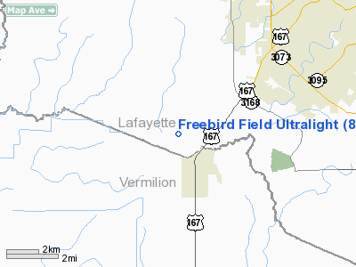
Freebird Field Ultralight |
Location &
QuickFacts
|
FAA
Information Effective: |
2008-09-25 |
|
Airport
Identifier: |
88LA |
|
Airport
Status: |
Operational |
|
Longitude/Latitude: |
092-08-06.4480W/30-07-45.7310N
-92.135124/30.129370 (Estimated) |
|
Elevation: |
20 ft / 6.10 m (Estimated) |
|
Land: |
9 acres |
|
From
nearest city: |
8 nautical miles SW of Lafayette, LA |
|
Location: |
Lafayette Parish, LA |
|
Magnetic Variation: |
04E (1985) |
Owner & Manager
|
Ownership: |
Privately owned |
|
Owner: |
Brad Case & John Rowe |
|
Address: |
Box 2337
Lafayette, LA 70502 |
|
Phone number: |
318-984-9107 |
|
Manager: |
Brad Case & John Rowe |
|
Address: |
415 12th St
Reserve, LA 70084 |
|
Phone number: |
504-536-4718 |
Airport
Operations and Facilities
|
Airport
Use: |
Private |
|
Wind
indicator: |
Yes |
|
Segmented Circle: |
No |
|
Control
Tower: |
No |
|
Sectional chart: |
Houston |
|
Region: |
ASW - Southwest |
|
Boundary
ARTCC: |
ZHU - Houston |
|
Tie-in
FSS: |
DRI - De Ridder |
|
FSS Toll
Free: |
1-800-WX-BRIEF |
|
Runway Information
Runway 07/25
|
Dimension: |
1000 x 60 ft / 304.8 x 18.3 m |
|
Surface: |
TURF, |
|
|
Runway 07
|
Runway 25
|
|
Traffic
Pattern: |
Left |
Left |
|
Runway 11/29
|
Dimension: |
800 x 60 ft / 243.8 x 18.3 m |
|
Surface: |
TURF, |
|
|
Runway 11
|
Runway 29
|
|
Traffic
Pattern: |
Left |
Left |
|
Runway 17/35
|
Dimension: |
400 x 60 ft / 121.9 x 18.3 m |
|
Surface: |
TURF, |
|
|
Runway 17
|
Runway 35
|
|
Traffic
Pattern: |
Left |
Left |
|
Radio Navigation Aids
|
ID |
Type |
Name |
Ch |
Freq |
Var |
Dist |
|
AR |
NDB |
Acadi |
|
269.00 |
03E |
17.6 nm |
|
ECY |
NDB |
Eunice |
|
263.00 |
02E |
30.5 nm |
|
OPL |
NDB |
St Landry |
|
335.00 |
04E |
31.7 nm |
|
LRR |
NDB |
Allen Parish |
|
379.00 |
03E |
42.1 nm |
|
BWK |
NDB |
Bunkie |
|
397.00 |
03E |
44.5 nm |
|
HZ |
NDB |
Hazer |
|
356.00 |
04E |
45.1 nm |
|
PTN |
NDB |
Patterson |
|
245.00 |
01E |
48.5 nm |
|
LLA |
VOR/DME |
White Lake |
041X |
110.40 |
04E |
30.7 nm |
|
LFT |
VORTAC |
Lafayette |
035X |
109.80 |
03E |
8.4 nm |
|
BTR |
VORTAC |
Baton Rouge |
112X |
116.50 |
06E |
48.6 nm |
Based Aircraft
|
Aircraft based
on field: |
20 |
|
Ultralights: |
20 |
Freebird Field Ultralight
Address:
Lafayette Parish, LA
Tel:
318-984-9107, 504-536-4718
Images
and information placed above are from
http://www.airport-data.com/airport/88LA/
We
thank them for the data!
|
General Info |
| Country |
United
States |
| State |
LOUISIANA |
| FAA ID |
88LA
|
| Latitude |
30-07-45.731N |
|
Longitude |
092-08-06.448W |
|
Elevation |
20 feet
|
| Near
City |
LAFAYETTE |
We don't guarantee the information is fresh and accurate. The data may
be wrong or outdated.
For more up-to-date information please refer to other sources.
|
|


