 |
|
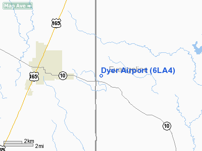
Location &
QuickFacts
|
FAA
Information Effective: |
2008-09-25 |
|
Airport
Identifier: |
6LA4 |
|
Airport
Status: |
Operational |
|
Longitude/Latitude: |
092-35-30.5040W/30-48-25.7000N
-92.591807/30.807139 (Estimated) |
|
Elevation: |
118 ft / 35.97 m (Estimated) |
|
Land: |
0 acres |
|
From
nearest city: |
3 nautical miles E of Oakdale, LA |
|
Location: |
Evangeline Parish, LA |
|
Magnetic Variation: |
04E (1985) |
Owner & Manager
|
Ownership: |
Privately owned |
|
Owner: |
Wesley R. Dyer |
|
Address: |
201 4th Street
Alexandria, LA 71301 |
|
Phone number: |
318-335-1120 |
|
Address: |
|
Airport Operations and Facilities
|
Airport Use: |
Private |
|
Wind indicator: |
No |
|
Segmented Circle: |
No |
|
Control Tower: |
No |
|
Landing fee charge: |
No |
|
Sectional chart: |
Houston |
|
Region: |
ASW - Southwest |
|
Boundary ARTCC: |
ZHU - Houston |
|
Tie-in FSS: |
DRI - De Ridder |
|
FSS on Airport: |
No |
|
FSS Toll Free: |
1-800-WX-BRIEF |
Airport Services
|
Airframe
Repair: |
NONE |
|
Power
Plant Repair: |
NONE |
|
Runway Information
Runway 02/20
|
Dimension: |
2500 x 65 ft / 762.0 x 19.8 m |
|
Surface: |
TURF, |
|
|
Runway 02
|
Runway 20
|
|
Traffic
Pattern: |
Left |
Left |
|
Radio Navigation Aids
|
ID |
Type |
Name |
Ch |
Freq |
Var |
Dist |
|
POE |
FAN MARKER |
South |
|
|
07E |
31.2 nm |
|
POE1 |
FAN MARKER |
North |
|
|
07E |
37.2 nm |
|
LRR |
NDB |
Allen Parish |
|
379.00 |
03E |
11.2 nm |
|
ECY |
NDB |
Eunice |
|
263.00 |
02E |
16.6 nm |
|
BWK |
NDB |
Bunkie |
|
397.00 |
03E |
18.8 nm |
|
OPL |
NDB |
St Landry |
|
335.00 |
04E |
27.1 nm |
|
MKV |
NDB |
Marksville |
|
347.00 |
02E |
31.9 nm |
|
GUV |
NDB |
Gator |
|
359.00 |
05E |
33.3 nm |
|
DR |
NDB |
Idder |
|
385.00 |
04E |
38.5 nm |
|
VED |
NDB |
Leesville |
|
247.00 |
04E |
42.5 nm |
|
AEX |
VORTAC |
Alexandria |
108X |
116.10 |
03E |
27.4 nm |
|
FXU |
VORTAC |
Polk |
021X |
108.40 |
05E |
37.1 nm |
|
LCH |
VORTAC |
Lake Charles |
081X |
113.40 |
07E |
48.1 nm |
|
LFT |
VORTAC |
Lafayette |
035X |
109.80 |
03E |
48.2 nm |
Dyer Airport
Address:
Evangeline Parish, LA
Tel:
318-335-1120
Images
and information placed above are from
http://www.airport-data.com/airport/6LA4/
We
thank them for the data!
|
General Info |
| Country |
United
States |
| State |
LOUISIANA |
| FAA ID |
6LA4
|
| Latitude |
30-48-25.700N |
|
Longitude |
092-35-30.504W |
|
Elevation |
118 feet
|
| Near
City |
OAKDALE
|
We don't guarantee the information is fresh and accurate. The data may
be wrong or outdated.
For more up-to-date information please refer to other sources.
|
|


